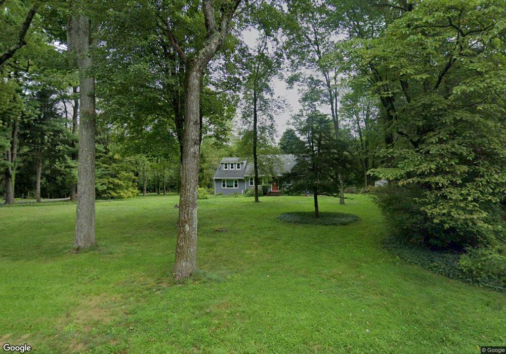
29 Sterling Rd Princeton, NJ 08540
Estimated Value: $659,000 - $697,080
--
Bed
--
Bath
1,950
Sq Ft
$350/Sq Ft
Est. Value
About This Home
This home is located at 29 Sterling Rd, Princeton, NJ 08540 and is currently estimated at $683,020, approximately $350 per square foot. 29 Sterling Rd is a home located in Somerset County with nearby schools including Franklin High School, Guidepost Montessori at Kendall Park, and Rock Brook School.
Ownership History
Date
Name
Owned For
Owner Type
Purchase Details
Closed on
Aug 7, 2008
Sold by
Carmien Edward and Arnholt Joann
Bought by
Carmien Edward and Arnholt Joann
Current Estimated Value
Home Financials for this Owner
Home Financials are based on the most recent Mortgage that was taken out on this home.
Original Mortgage
$290,000
Outstanding Balance
$190,988
Interest Rate
6.4%
Mortgage Type
New Conventional
Estimated Equity
$492,032
Purchase Details
Closed on
Nov 12, 1991
Sold by
Jacobs Joseph M
Bought by
Jacobs Joan M
Purchase Details
Closed on
Aug 9, 1989
Sold by
Black William C and Black Paula S
Bought by
Jacobs Joseph M and Jacobs Joan M
Create a Home Valuation Report for This Property
The Home Valuation Report is an in-depth analysis detailing your home's value as well as a comparison with similar homes in the area
Home Values in the Area
Average Home Value in this Area
Purchase History
| Date | Buyer | Sale Price | Title Company |
|---|---|---|---|
| Carmien Edward | -- | Service Link | |
| Jacobs Joan M | $100 | -- | |
| Jacobs Joseph M | $221,000 | -- |
Source: Public Records
Mortgage History
| Date | Status | Borrower | Loan Amount |
|---|---|---|---|
| Open | Carmien Edward | $290,000 |
Source: Public Records
Tax History Compared to Growth
Tax History
| Year | Tax Paid | Tax Assessment Tax Assessment Total Assessment is a certain percentage of the fair market value that is determined by local assessors to be the total taxable value of land and additions on the property. | Land | Improvement |
|---|---|---|---|---|
| 2025 | $9,161 | $586,000 | $339,400 | $246,600 |
| 2024 | $9,161 | $508,100 | $339,400 | $168,700 |
| 2023 | $8,997 | $468,100 | $299,400 | $168,700 |
| 2022 | $7,972 | $393,100 | $224,400 | $168,700 |
| 2021 | $7,793 | $353,100 | $184,400 | $168,700 |
| 2020 | $7,751 | $343,100 | $174,400 | $168,700 |
| 2019 | $7,847 | $343,100 | $174,400 | $168,700 |
| 2018 | $7,926 | $343,100 | $174,400 | $168,700 |
| 2017 | $8,165 | $352,100 | $183,400 | $168,700 |
| 2016 | $8,236 | $352,100 | $183,400 | $168,700 |
| 2015 | $8,203 | $353,100 | $184,400 | $168,700 |
| 2014 | $8,017 | $350,400 | $183,400 | $167,000 |
Source: Public Records
Map
Nearby Homes