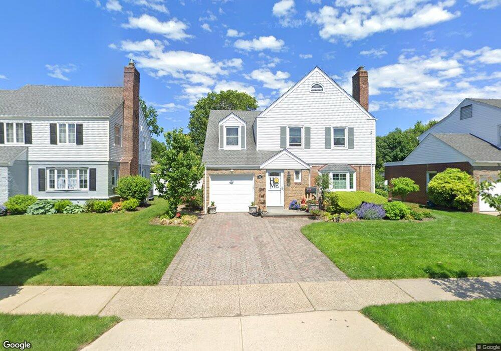
29 Stevens Ave Hempstead, NY 11550
Estimated Value: $736,717 - $780,000
3
Beds
2
Baths
2,040
Sq Ft
$372/Sq Ft
Est. Value
About This Home
This home is located at 29 Stevens Ave, Hempstead, NY 11550 and is currently estimated at $758,359, approximately $371 per square foot. 29 Stevens Ave is a home located in Nassau County with nearby schools including Chestnut Street School, West Hempstead Middle School, and West Hempstead Secondary School.
Ownership History
Date
Name
Owned For
Owner Type
Purchase Details
Closed on
Dec 12, 2017
Sold by
Koluch Gloria
Bought by
Lum Jason Jay and Schmidt Jennifer
Current Estimated Value
Home Financials for this Owner
Home Financials are based on the most recent Mortgage that was taken out on this home.
Original Mortgage
$448,000
Outstanding Balance
$378,155
Interest Rate
3.95%
Mortgage Type
New Conventional
Estimated Equity
$380,204
Purchase Details
Closed on
Apr 19, 2004
Sold by
Koluch Gloria
Purchase Details
Closed on
Nov 18, 1996
Create a Home Valuation Report for This Property
The Home Valuation Report is an in-depth analysis detailing your home's value as well as a comparison with similar homes in the area
Home Values in the Area
Average Home Value in this Area
Purchase History
| Date | Buyer | Sale Price | Title Company |
|---|---|---|---|
| Lum Jason Jay | $560,000 | First American Title | |
| -- | $204,000 | -- | |
| -- | -- | -- |
Source: Public Records
Mortgage History
| Date | Status | Borrower | Loan Amount |
|---|---|---|---|
| Open | Lum Jason Jay | $448,000 | |
| Closed | Lum Jason Jay | $448,000 |
Source: Public Records
Tax History
| Year | Tax Paid | Tax Assessment Tax Assessment Total Assessment is a certain percentage of the fair market value that is determined by local assessors to be the total taxable value of land and additions on the property. | Land | Improvement |
|---|---|---|---|---|
| 2025 | $10,748 | $495 | $132 | $363 |
| 2024 | $1,355 | $550 | $147 | $403 |
Source: Public Records
Map
Nearby Homes
- 159 Avon Place
- 91 Bedell Ave
- 227 Concord Ave
- 244 Hamilton Ave
- 26 Hilbert St
- 253 William St
- 67 3rd St
- 200 Hilton Ave Unit 55
- 200 Hilton Ave Unit 66
- 170 Ivy St
- 144 Hilton Ave
- 35 Mulford Place
- 22 Mulford Place Unit 2D
- 96 New York Ave
- 2 Sunset Ln
- 32 Cathedral Ave Unit 6c
- 24 Mulford Place Unit 4B
- 24 Mulford Place Unit 6A
- 82 Hilton Ave
- 20 Wendell St Unit A16
- 31 Stevens Ave
- 33 Stevens Ave
- 118 Saint Pauls Place
- 165 Bedell Ave
- 26 Stevens Ave
- 171 Bedell Ave
- 32 Stevens Ave
- 159 Bedell Ave
- 103 Saint Pauls Place
- 35 Stevens Ave
- 100 Saint Pauls Place
- 153 Bedell Ave
- 44 Stevens Ave
- 186 Buckingham Rd
- 190 Buckingham Rd
- 147 Bedell Ave
- 43 Stevens Ave
- 180 Buckingham Rd
- 172 Buckingham Rd
Your Personal Tour Guide
Ask me questions while you tour the home.