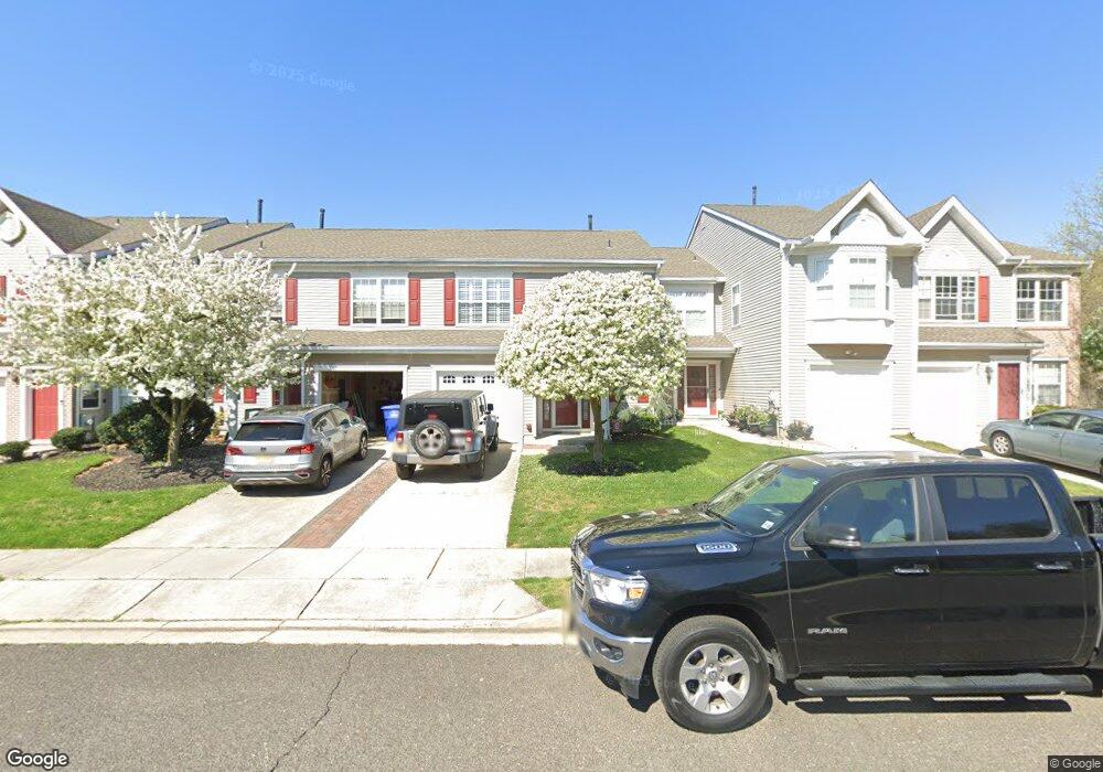
29 Stokes Rd Mount Laurel, NJ 08054
Estimated Value: $415,462 - $473,000
3
Beds
3
Baths
1,526
Sq Ft
$291/Sq Ft
Est. Value
About This Home
This home is located at 29 Stokes Rd, Mount Laurel, NJ 08054 and is currently estimated at $444,366, approximately $291 per square foot. 29 Stokes Rd is a home located in Burlington County with nearby schools including Countryside Elementary School, T.E. Harrington Middle School, and Mount Laurel Hartford School.
Ownership History
Date
Name
Owned For
Owner Type
Purchase Details
Closed on
Aug 14, 2009
Sold by
Abraham Shija
Bought by
Kueny Michael R
Current Estimated Value
Home Financials for this Owner
Home Financials are based on the most recent Mortgage that was taken out on this home.
Original Mortgage
$274,928
Outstanding Balance
$178,888
Interest Rate
5.17%
Mortgage Type
FHA
Estimated Equity
$265,478
Purchase Details
Closed on
Oct 18, 2007
Sold by
Berks Andrew and Berks Patricia
Bought by
Abraham Shija
Home Financials for this Owner
Home Financials are based on the most recent Mortgage that was taken out on this home.
Original Mortgage
$247,900
Interest Rate
11.5%
Mortgage Type
Purchase Money Mortgage
Purchase Details
Closed on
Jul 30, 1996
Sold by
Orleans Construction Corp
Bought by
Berks Andrew and Decker Patricia
Create a Home Valuation Report for This Property
The Home Valuation Report is an in-depth analysis detailing your home's value as well as a comparison with similar homes in the area
Home Values in the Area
Average Home Value in this Area
Purchase History
| Date | Buyer | Sale Price | Title Company |
|---|---|---|---|
| Kueny Michael R | $280,000 | None Available | |
| Abraham Shija | $275,500 | Ashlin Title Agency Inc | |
| Berks Andrew | $130,275 | Commonwealth Land Title Ins |
Source: Public Records
Mortgage History
| Date | Status | Borrower | Loan Amount |
|---|---|---|---|
| Open | Kueny Michael R | $274,928 | |
| Previous Owner | Abraham Shija | $247,900 |
Source: Public Records
Tax History Compared to Growth
Tax History
| Year | Tax Paid | Tax Assessment Tax Assessment Total Assessment is a certain percentage of the fair market value that is determined by local assessors to be the total taxable value of land and additions on the property. | Land | Improvement |
|---|---|---|---|---|
| 2025 | $6,579 | $208,400 | $68,000 | $140,400 |
| 2024 | $6,331 | $208,400 | $68,000 | $140,400 |
| 2023 | $6,331 | $208,400 | $68,000 | $140,400 |
| 2022 | $6,310 | $208,400 | $68,000 | $140,400 |
| 2021 | $6,192 | $208,400 | $68,000 | $140,400 |
| 2020 | $6,071 | $208,400 | $68,000 | $140,400 |
| 2019 | $6,008 | $208,400 | $68,000 | $140,400 |
| 2018 | $5,962 | $208,400 | $68,000 | $140,400 |
| 2017 | $5,808 | $208,400 | $68,000 | $140,400 |
| 2016 | $5,721 | $208,400 | $68,000 | $140,400 |
| 2015 | $5,654 | $208,400 | $68,000 | $140,400 |
| 2014 | $5,598 | $208,400 | $68,000 | $140,400 |
Source: Public Records
Map
Nearby Homes
- 6 Leighton Dr
- 603 Kirby Way Unit 603
- 205 Kirby Way Unit 205
- 53 Saw Mill Dr
- 907A Oliphant Ln Unit 907A
- 705A Wharton Rd
- 12 B E Daisy Ln
- 112B W Bluebell Ln Unit 112B
- 99 A W Bluebell Ln
- 6 E Azalea Ln
- 123A Birchfield Ct Unit 123A
- 130B Birchfield Ct Unit 130B
- 16 W Azalea Ln
- 60B Sumac Ct
- 70B Sumac Ct Unit 70B
- 167 Canterbury Rd
- 2 Watson Dr
- 13 Village Ct Unit 13
- 40 E Oleander Dr
- 74 Poppy Ct