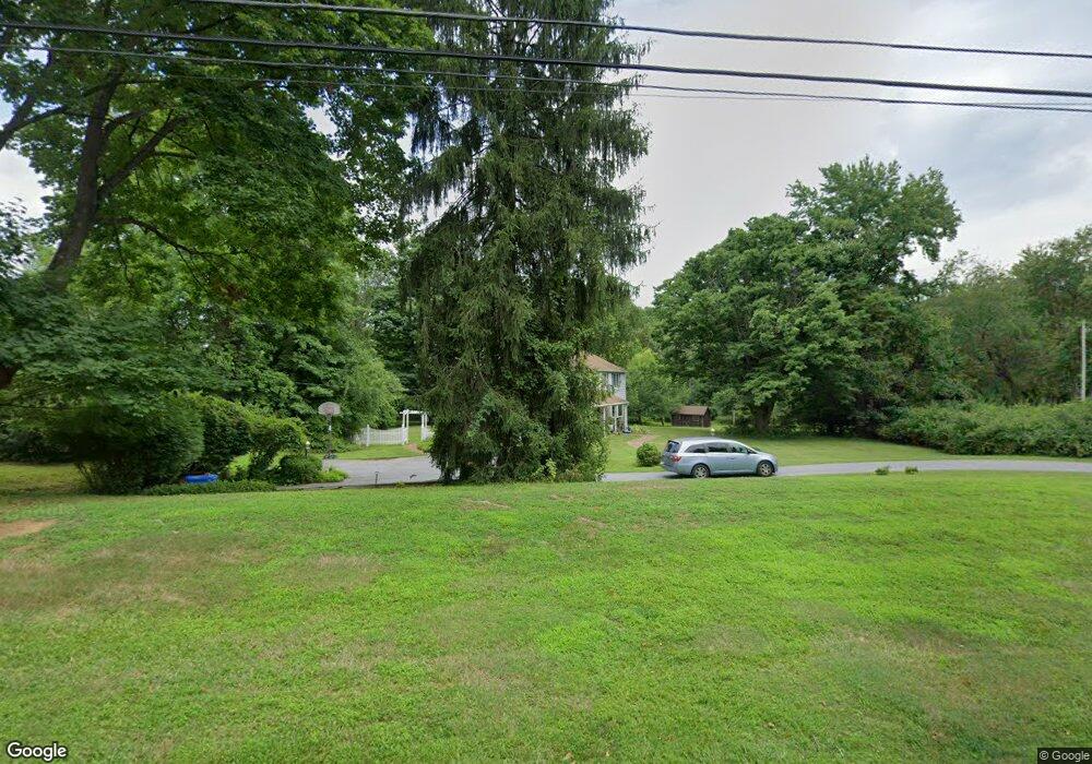
29 Stoneridge Rd Thornton, PA 19373
Estimated Value: $720,843 - $795,000
4
Beds
3
Baths
2,592
Sq Ft
$294/Sq Ft
Est. Value
About This Home
This home is located at 29 Stoneridge Rd, Thornton, PA 19373 and is currently estimated at $761,961, approximately $293 per square foot. 29 Stoneridge Rd is a home located in Delaware County with nearby schools including Westtown-Thornbury Elementary School, Stetson Middle School, and Bayard Rustin High School.
Ownership History
Date
Name
Owned For
Owner Type
Purchase Details
Closed on
Jun 22, 2007
Sold by
Howard Dorothy L
Bought by
Carroll Robert W and Carroll Jane W
Current Estimated Value
Home Financials for this Owner
Home Financials are based on the most recent Mortgage that was taken out on this home.
Original Mortgage
$325,000
Outstanding Balance
$202,182
Interest Rate
6.5%
Mortgage Type
Purchase Money Mortgage
Estimated Equity
$559,779
Purchase Details
Closed on
Jul 25, 1997
Sold by
Howard John H and Howard Dorothy L
Bought by
Howard Dorothy L
Create a Home Valuation Report for This Property
The Home Valuation Report is an in-depth analysis detailing your home's value as well as a comparison with similar homes in the area
Home Values in the Area
Average Home Value in this Area
Purchase History
| Date | Buyer | Sale Price | Title Company |
|---|---|---|---|
| Carroll Robert W | $475,000 | None Available | |
| Howard Dorothy L | -- | -- |
Source: Public Records
Mortgage History
| Date | Status | Borrower | Loan Amount |
|---|---|---|---|
| Open | Carroll Robert W | $325,000 |
Source: Public Records
Tax History Compared to Growth
Tax History
| Year | Tax Paid | Tax Assessment Tax Assessment Total Assessment is a certain percentage of the fair market value that is determined by local assessors to be the total taxable value of land and additions on the property. | Land | Improvement |
|---|---|---|---|---|
| 2025 | $5,712 | $436,310 | $127,240 | $309,070 |
| 2024 | $5,712 | $436,310 | $127,240 | $309,070 |
| 2023 | $5,643 | $436,310 | $127,240 | $309,070 |
| 2022 | $5,461 | $436,310 | $127,240 | $309,070 |
| 2021 | $8,579 | $436,310 | $127,240 | $309,070 |
| 2020 | $5,013 | $230,800 | $67,540 | $163,260 |
| 2019 | $4,971 | $230,800 | $67,540 | $163,260 |
| 2018 | $4,803 | $230,800 | $0 | $0 |
| 2017 | $4,688 | $230,800 | $0 | $0 |
| 2016 | $1,267 | $230,800 | $0 | $0 |
| 2015 | $1,292 | $230,800 | $0 | $0 |
| 2014 | $1,292 | $230,800 | $0 | $0 |
Source: Public Records
Map
Nearby Homes
- 403 Brinton Lake Rd
- 36 Judith Ln
- 186 Dilworthtown Rd
- 12 Cherry Farm Ln
- 0 Baltimore Pike
- Lot 3 149 Governor Markham Cheslen
- 34 Oakland Rd Unit C2
- 257 Glen Mills Rd Unit C
- 257 Glen Mills Rd Unit B
- 257 Glen Mills Rd
- Lot 2 145 Governor Markham Cheslen
- 250 Glen Mills Rd
- 779 Concord Rd
- 255 Glen Mills Rd
- 51 Scott Rd
- 1331 Faucett Dr
- 101 Bellefair Ln
- 1707 Painters Crossing Unit 1707
- 724 Concord Rd
- 1407 Painters Crossing
- 25 Stoneridge Rd
- 30 Stoneridge Rd
- 35 Stoneridge Rd
- 36 Stoneridge Rd
- 19 Stoneridge Rd
- 26 Stoneridge Rd
- 18 Stoneridge Rd
- 39 Stoneridge Rd
- 3 Woodridge Rd
- 7 Woodridge Rd
- 430 Glen Mills Rd
- 43 Stoneridge Rd
- 15 Stoneridge Rd
- 42 Stoneridge Rd
- 6 Woodridge Rd
- 35 Timber Ln
- 29 Woodridge Rd
- 21 Woodridge Rd
- 25 Woodridge Rd
- 33 Woodridge Rd