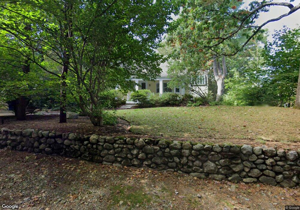
29 Studio Rd Auburndale, MA 02466
Auburndale NeighborhoodEstimated Value: $1,908,000 - $1,949,000
3
Beds
2
Baths
2,999
Sq Ft
$643/Sq Ft
Est. Value
About This Home
This home is located at 29 Studio Rd, Auburndale, MA 02466 and is currently estimated at $1,928,627, approximately $643 per square foot. 29 Studio Rd is a home located in Middlesex County with nearby schools including Williams Elementary School, Charles E Brown Middle School, and Newton South High School.
Ownership History
Date
Name
Owned For
Owner Type
Purchase Details
Closed on
Jul 1, 1999
Sold by
Donovan Helen W
Bought by
Muller James E and Muller Kathleen W
Current Estimated Value
Purchase Details
Closed on
Feb 2, 1990
Sold by
Yeomans Susan P
Bought by
Donovan Helen M
Create a Home Valuation Report for This Property
The Home Valuation Report is an in-depth analysis detailing your home's value as well as a comparison with similar homes in the area
Home Values in the Area
Average Home Value in this Area
Purchase History
| Date | Buyer | Sale Price | Title Company |
|---|---|---|---|
| Muller James E | $640,000 | -- | |
| Donovan Helen M | $505,000 | -- |
Source: Public Records
Mortgage History
| Date | Status | Borrower | Loan Amount |
|---|---|---|---|
| Open | Donovan Helen M | $630,000 | |
| Closed | Donovan Helen M | $57,434 | |
| Closed | Donovan Helen M | $25,000 |
Source: Public Records
Tax History
| Year | Tax Paid | Tax Assessment Tax Assessment Total Assessment is a certain percentage of the fair market value that is determined by local assessors to be the total taxable value of land and additions on the property. | Land | Improvement |
|---|---|---|---|---|
| 2025 | $16,309 | $1,664,200 | $1,075,900 | $588,300 |
| 2024 | $15,769 | $1,615,700 | $1,044,600 | $571,100 |
| 2023 | $15,081 | $1,481,400 | $815,200 | $666,200 |
| 2022 | $14,430 | $1,371,700 | $754,800 | $616,900 |
| 2021 | $13,925 | $1,294,100 | $712,100 | $582,000 |
| 2020 | $13,510 | $1,294,100 | $712,100 | $582,000 |
| 2019 | $13,129 | $1,256,400 | $691,400 | $565,000 |
| 2018 | $12,075 | $1,116,000 | $621,500 | $494,500 |
| 2017 | $11,707 | $1,052,800 | $586,300 | $466,500 |
| 2016 | $11,197 | $983,900 | $547,900 | $436,000 |
| 2015 | $10,675 | $919,500 | $512,100 | $407,400 |
Source: Public Records
Map
Nearby Homes
- 194 Auburn St
- 17 Lasell St
- 226 Auburn St Unit 226
- 1917 Commonwealth Ave Unit 1917
- 1919 Commonwealth Ave Unit 1919
- 7 Sharon Ave Unit 7
- 12 Oakwood Rd
- 283 Melrose St
- 0 Duncan Rd Unit 72925240
- 27 Tennyson Rd
- 305 Webster St Unit 2
- 232 Melrose St Unit 2
- 2202 Commonwealth Ave Unit 1
- 10 Higgins St
- 0 Metacomet Rd
- 33 Metacomet Rd
- 40 Sewall St
- 160 Pine St Unit 15
- 160 Pine St Unit 12
- 26 Sewall St
Your Personal Tour Guide
Ask me questions while you tour the home.