29 Sylvia Dr Bowdon, GA 30108
Estimated Value: $251,000 - $362,000
3
Beds
3
Baths
1,844
Sq Ft
$166/Sq Ft
Est. Value
About This Home
This home is located at 29 Sylvia Dr, Bowdon, GA 30108 and is currently estimated at $305,825, approximately $165 per square foot. 29 Sylvia Dr is a home located in Carroll County with nearby schools including Bowdon Elementary School, Bowdon Middle School, and Bowdon High School.
Ownership History
Date
Name
Owned For
Owner Type
Purchase Details
Closed on
Sep 1, 2000
Sold by
Estes Estes A and Estes Kath
Bought by
Ingram Carla A and Ingram Joh
Current Estimated Value
Purchase Details
Closed on
Apr 13, 1996
Sold by
Estes Estes A and Estes Athy
Bought by
Estes Estes A and Estes Kath
Purchase Details
Closed on
Oct 11, 1991
Bought by
Estes Estes A and Estes Athy
Create a Home Valuation Report for This Property
The Home Valuation Report is an in-depth analysis detailing your home's value as well as a comparison with similar homes in the area
Purchase History
| Date | Buyer | Sale Price | Title Company |
|---|---|---|---|
| Ingram Carla A | $120,000 | -- | |
| Estes Estes A | -- | -- | |
| Estes Estes A | $75,000 | -- |
Source: Public Records
Tax History Compared to Growth
Tax History
| Year | Tax Paid | Tax Assessment Tax Assessment Total Assessment is a certain percentage of the fair market value that is determined by local assessors to be the total taxable value of land and additions on the property. | Land | Improvement |
|---|---|---|---|---|
| 2025 | $340 | $109,873 | $13,534 | $96,339 |
| 2024 | $344 | $109,873 | $13,534 | $96,339 |
| 2023 | $344 | $98,484 | $10,828 | $87,656 |
| 2022 | $410 | $102,886 | $15,818 | $87,068 |
| 2021 | $413 | $88,295 | $12,654 | $75,641 |
| 2020 | $414 | $77,700 | $11,504 | $66,196 |
| 2019 | $426 | $72,450 | $11,628 | $60,822 |
| 2018 | $431 | $60,232 | $5,558 | $54,674 |
| 2017 | $436 | $60,232 | $5,558 | $54,674 |
| 2016 | $1,482 | $60,232 | $5,558 | $54,674 |
| 2015 | $1,154 | $45,262 | $9,266 | $35,996 |
| 2014 | $1,159 | $45,262 | $9,266 | $35,996 |
Source: Public Records
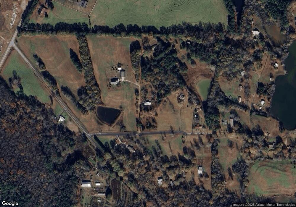
Map
Nearby Homes
- 60 Wessmanor Dr
- 215 Wessmanor Dr
- 717 Wedowee St
- 627 Wedowee St
- 101 Winding Road - Lot 1a & 1b & Lot 2
- 1441 Georgia 100
- 110 Bevis Cir
- 0 Magnolia St Unit 7657311
- 0 Magnolia St Unit 10614572
- 0 Hwy 100 Unit LotWP001 24911780
- 0 Hwy 100 Unit 10541558
- 310 W College St
- 313 Ellenwood Dr
- 1794 Georgia 100
- 460 Sally Ann Cir
- 400/460 Sally Ann Cir
- 254 Eason St
- Plan 1826 at Park Place
- Plan 2421 at Park Place
- Plan 2316 at Park Place
- 84 Wessmanor Dr
- 24 Sylvia Dr
- 104 Wessmanor Dr
- 18 Sylvia Dr
- 184 Reavesville Rd
- 125 Wessmanor Dr
- 109 Wessmanor Dr
- 134 Wessmanor Dr
- 134 Wessmanor Dr
- 169 Reavesville Rd
- 237 Reavesville Rd
- 53 Wessmanor Cir
- 175 Wessmanor Dr
- 84 Wessmanor Cir
- 89 Wessmanor Cir
- 896 S Highway 100
- 278 Reavesville Rd
- 290 Reavesville Rd
- 872 S Highway 100
- 1019 S Highway 100