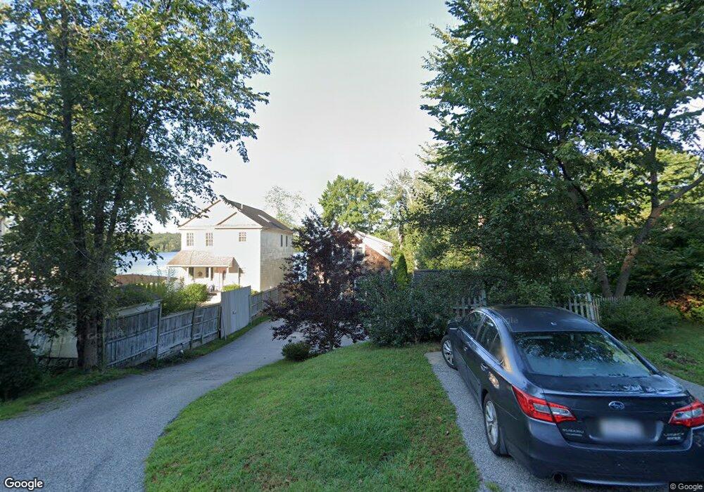
29 Taft Ave Mendon, MA 01756
Estimated Value: $528,000 - $755,000
3
Beds
3
Baths
3,077
Sq Ft
$221/Sq Ft
Est. Value
About This Home
This home is located at 29 Taft Ave, Mendon, MA 01756 and is currently estimated at $679,018, approximately $220 per square foot. 29 Taft Ave is a home located in Worcester County with nearby schools including Nipmuc Regional High School and Our Lady of the Valley Regional School.
Ownership History
Date
Name
Owned For
Owner Type
Purchase Details
Closed on
May 24, 2005
Sold by
Doe Chasson W and Doe Tracy B
Bought by
Doe Chasson W
Current Estimated Value
Home Financials for this Owner
Home Financials are based on the most recent Mortgage that was taken out on this home.
Original Mortgage
$267,000
Interest Rate
5.95%
Mortgage Type
Purchase Money Mortgage
Purchase Details
Closed on
Nov 17, 2000
Sold by
Wojnoski Leonard and Wojnoski Margaret
Bought by
Doe Chasson W
Create a Home Valuation Report for This Property
The Home Valuation Report is an in-depth analysis detailing your home's value as well as a comparison with similar homes in the area
Home Values in the Area
Average Home Value in this Area
Purchase History
| Date | Buyer | Sale Price | Title Company |
|---|---|---|---|
| Doe Chasson W | -- | -- | |
| Doe Chasson W | $152,000 | -- |
Source: Public Records
Mortgage History
| Date | Status | Borrower | Loan Amount |
|---|---|---|---|
| Open | Doe Chasson W | $412,000 | |
| Closed | Doe Chasson W | $15,800 | |
| Closed | Doe Chasson W | $267,000 | |
| Previous Owner | Doe Chasson W | $234,000 |
Source: Public Records
Tax History
| Year | Tax Paid | Tax Assessment Tax Assessment Total Assessment is a certain percentage of the fair market value that is determined by local assessors to be the total taxable value of land and additions on the property. | Land | Improvement |
|---|---|---|---|---|
| 2025 | $9,133 | $682,100 | $246,200 | $435,900 |
| 2024 | $8,969 | $654,200 | $236,800 | $417,400 |
| 2023 | $8,513 | $583,100 | $202,000 | $381,100 |
| 2022 | $8,019 | $520,400 | $179,000 | $341,400 |
| 2021 | $7,556 | $450,000 | $173,700 | $276,300 |
| 2020 | $7,134 | $425,900 | $173,700 | $252,200 |
| 2019 | $6,256 | $373,700 | $147,600 | $226,100 |
| 2018 | $6,124 | $361,100 | $147,600 | $213,500 |
| 2017 | $6,056 | $341,200 | $151,800 | $189,400 |
| 2016 | $5,848 | $339,000 | $152,200 | $186,800 |
| 2015 | $5,330 | $332,900 | $152,200 | $180,700 |
| 2014 | $5,221 | $325,900 | $147,500 | $178,400 |
Source: Public Records
Map
Nearby Homes
- 27 Taft Ave
- 23 Uxbridge Rd
- 14 Kelley Rd
- 13 Kelley Rd
- 8 Washington St
- 10 Wesley Dr
- 26 Maple St
- 183 Blackstone St
- 55 Northbridge Rd
- 17 Forest Park Dr
- 25 Dunny Cove Ln
- 93 Providence St Unit B
- 147 Laurelwood Dr
- 7 Jewell Crossing
- 13A Asylum St
- 111 Providence St
- 34 Rawson Farm Rd
- 8 Puffer Dr
- 19 Rawson Farm Rd
- 25 Bens Way
Your Personal Tour Guide
Ask me questions while you tour the home.