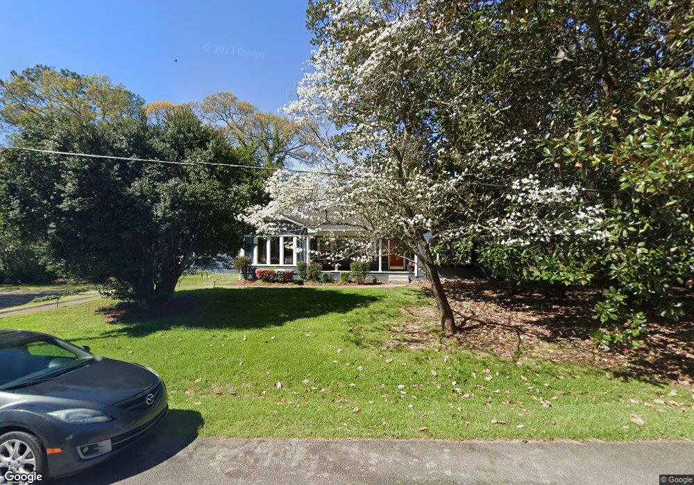
29 Terrace Dr Lagrange, GA 30240
Estimated Value: $174,000 - $212,434
4
Beds
3
Baths
2,091
Sq Ft
$89/Sq Ft
Est. Value
About This Home
This home is located at 29 Terrace Dr, Lagrange, GA 30240 and is currently estimated at $186,359, approximately $89 per square foot. 29 Terrace Dr is a home located in Troup County with nearby schools including Berta Weathersbee Elementary School, Whitesville Road Elementary School, and Long Cane Elementary School.
Ownership History
Date
Name
Owned For
Owner Type
Purchase Details
Closed on
Nov 6, 1990
Bought by
Montgomery T Alex
Current Estimated Value
Purchase Details
Closed on
Sep 19, 1985
Purchase Details
Closed on
Apr 22, 1983
Purchase Details
Closed on
Jan 1, 1972
Purchase Details
Closed on
Jan 1, 1955
Create a Home Valuation Report for This Property
The Home Valuation Report is an in-depth analysis detailing your home's value as well as a comparison with similar homes in the area
Home Values in the Area
Average Home Value in this Area
Purchase History
| Date | Buyer | Sale Price | Title Company |
|---|---|---|---|
| Montgomery T Alex | $77,000 | -- | |
| -- | $35,600 | -- | |
| -- | -- | -- | |
| -- | -- | -- | |
| -- | -- | -- |
Source: Public Records
Tax History Compared to Growth
Tax History
| Year | Tax Paid | Tax Assessment Tax Assessment Total Assessment is a certain percentage of the fair market value that is determined by local assessors to be the total taxable value of land and additions on the property. | Land | Improvement |
|---|---|---|---|---|
| 2024 | $1,468 | $55,800 | $6,560 | $49,240 |
| 2023 | $1,521 | $57,760 | $6,560 | $51,200 |
| 2022 | $1,482 | $55,080 | $6,560 | $48,520 |
| 2021 | $1,145 | $39,960 | $7,680 | $32,280 |
| 2020 | $1,145 | $39,960 | $7,680 | $32,280 |
| 2019 | $1,149 | $40,080 | $7,680 | $32,400 |
| 2018 | $1,061 | $37,160 | $7,680 | $29,480 |
| 2017 | $1,061 | $37,160 | $7,680 | $29,480 |
| 2016 | $1,029 | $36,104 | $7,680 | $28,424 |
| 2015 | $1,031 | $36,104 | $7,680 | $28,424 |
| 2014 | $988 | $34,623 | $7,680 | $26,943 |
| 2013 | -- | $36,401 | $7,680 | $28,721 |
Source: Public Records
Map
Nearby Homes
- 141 Avery Dr
- 0 Unit 10514554
- 212 Aster Way
- 101 Crown St Unit LOT 5
- 167 S Kight Dr
- 102 Crown St Unit LOT 1
- The Rhodes Plan at Crown Street Cottages
- The Truitt Plan at Crown Street Cottages
- The Callaway Plan at Crown Street Cottages
- 802 Monroe St
- 205 Grady St
- 0 Bradfield Dr Unit 10568803
- 608 Wilburn Ave
- 610 Wilburn Ave
- 107 Clark St
- 37 Overbrook Dr
- 119 Jones St
- 211 Moores Hill
- 0 Moores Hill
- 202 Parker Ln
- 41 Terrace Dr
- 36 Sunset Dr
- 9 Terrace Dr
- 52 Sunset Dr
- 20 Sunset Dr
- 42 Terrace Dr
- 55 Terrace Dr
- 43 Sunset Dr
- 27 Sunset Dr
- 66 Sunset Dr
- 0 Sunset Dr Unit 7388968
- 0 Sunset Dr Unit 8382638
- 0 Sunset Dr Unit 8078933
- 0 Sunset Dr Unit 8070481
- 0 Sunset Dr Unit 8225710
- 0 Sunset Dr Unit 7231162
- 8 Sunset Dr
- 69 Terrace Dr
- 61 Sunset Dr
- 2002 W Point Rd