Estimated Value: $963,539 - $1,145,000
4
Beds
3
Baths
2,396
Sq Ft
$427/Sq Ft
Est. Value
About This Home
This home is located at 29 Tuttle Dr, Acton, MA 01720 and is currently estimated at $1,022,135, approximately $426 per square foot. 29 Tuttle Dr is a home located in Middlesex County with nearby schools including Acton-Boxborough Regional High School, Maynard Knowledge Beginnings, and The Imago School.
Ownership History
Date
Name
Owned For
Owner Type
Purchase Details
Closed on
Aug 14, 1998
Sold by
Toschik Thomas J and Toschik Carol A
Bought by
Ben-Joseph Eran and Ben-Joseph Holly D
Current Estimated Value
Home Financials for this Owner
Home Financials are based on the most recent Mortgage that was taken out on this home.
Original Mortgage
$170,000
Interest Rate
6.94%
Mortgage Type
Purchase Money Mortgage
Create a Home Valuation Report for This Property
The Home Valuation Report is an in-depth analysis detailing your home's value as well as a comparison with similar homes in the area
Home Values in the Area
Average Home Value in this Area
Purchase History
| Date | Buyer | Sale Price | Title Company |
|---|---|---|---|
| Ben-Joseph Eran | $337,000 | -- |
Source: Public Records
Mortgage History
| Date | Status | Borrower | Loan Amount |
|---|---|---|---|
| Open | Ben-Joseph Eran | $166,174 | |
| Closed | Ben-Joseph Eran | $170,000 | |
| Previous Owner | Ben-Joseph Eran | $100,000 | |
| Closed | Ben-Joseph Eran | $25,000 |
Source: Public Records
Tax History Compared to Growth
Tax History
| Year | Tax Paid | Tax Assessment Tax Assessment Total Assessment is a certain percentage of the fair market value that is determined by local assessors to be the total taxable value of land and additions on the property. | Land | Improvement |
|---|---|---|---|---|
| 2025 | $14,367 | $837,700 | $342,100 | $495,600 |
| 2024 | $13,654 | $819,100 | $342,100 | $477,000 |
| 2023 | $13,309 | $757,900 | $310,900 | $447,000 |
| 2022 | $12,590 | $647,300 | $270,200 | $377,100 |
| 2021 | $12,288 | $607,400 | $250,300 | $357,100 |
| 2020 | $11,590 | $602,400 | $250,300 | $352,100 |
| 2019 | $11,198 | $578,100 | $250,300 | $327,800 |
| 2018 | $11,004 | $567,800 | $250,300 | $317,500 |
| 2017 | $10,723 | $562,600 | $250,300 | $312,300 |
| 2016 | $10,521 | $547,100 | $250,300 | $296,800 |
| 2015 | $10,457 | $548,900 | $250,300 | $298,600 |
| 2014 | $10,110 | $519,800 | $250,300 | $269,500 |
Source: Public Records
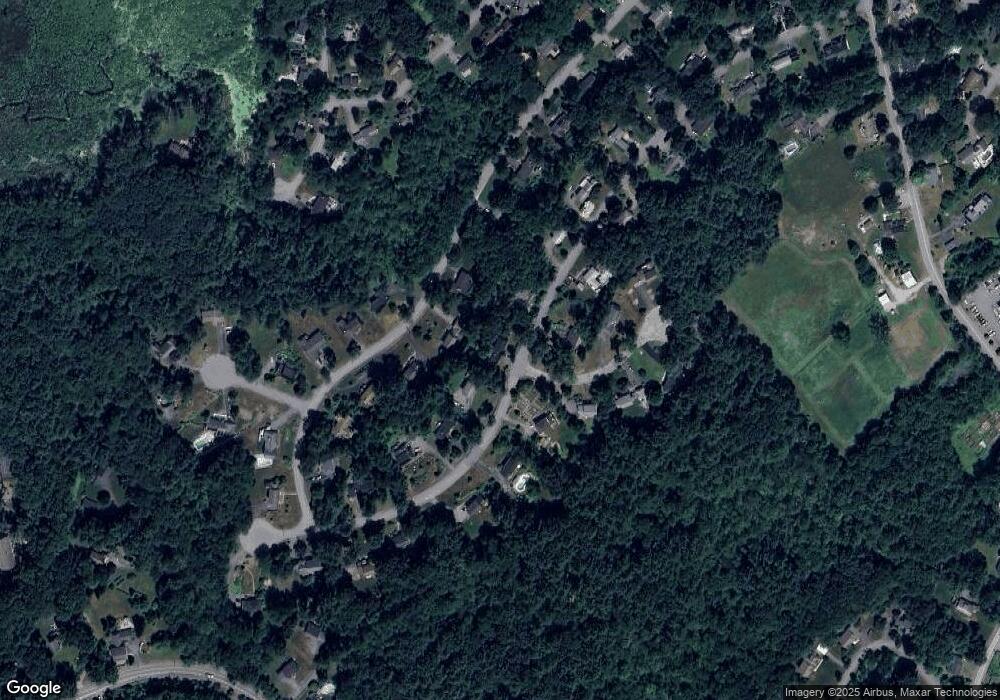
Map
Nearby Homes
- 4,7,8 Crestwood Ln
- 116 Windsor Ave
- 246 Main St Unit 2
- 7 Kelley Rd
- 19 Railroad St Unit D2
- 19 Railroad St Unit C2
- 131 Main St
- 129 Main St Unit 129
- 90 Willow St Unit 1
- 92 Willow St Unit 3
- 92 Willow St Unit 2
- 285 Central St Unit 285
- 40 High St
- 71 Liberty St
- 70 River St
- 5 Elm St Unit 1
- 46 Taylor Rd
- 11 Braebrook
- 2 Marble Farm Rd
- 128 Parker St Unit 3B