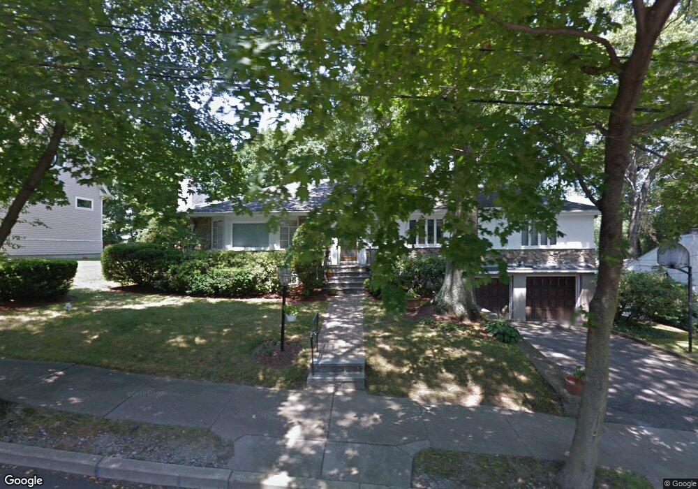
29 Voss Terrace Newton Center, MA 02459
Oak Hill NeighborhoodEstimated Value: $1,782,000 - $1,971,213
4
Beds
3
Baths
2,648
Sq Ft
$709/Sq Ft
Est. Value
About This Home
This home is located at 29 Voss Terrace, Newton Center, MA 02459 and is currently estimated at $1,878,553, approximately $709 per square foot. 29 Voss Terrace is a home located in Middlesex County with nearby schools including Countryside Elementary School, Charles E Brown Middle School, and Newton South High School.
Ownership History
Date
Name
Owned For
Owner Type
Purchase Details
Closed on
Apr 24, 2020
Sold by
Nurko Samuel and Nurko Rosengaus
Bought by
29 Voss Terrace Rt
Current Estimated Value
Purchase Details
Closed on
Jul 29, 1993
Sold by
Koplan Laurence D and Koplan Beverly R
Bought by
Nurko Samuel and Nurko Rebeca B
Create a Home Valuation Report for This Property
The Home Valuation Report is an in-depth analysis detailing your home's value as well as a comparison with similar homes in the area
Home Values in the Area
Average Home Value in this Area
Purchase History
| Date | Buyer | Sale Price | Title Company |
|---|---|---|---|
| 29 Voss Terrace Rt | -- | None Available | |
| Nurko Samuel | $500,000 | -- |
Source: Public Records
Mortgage History
| Date | Status | Borrower | Loan Amount |
|---|---|---|---|
| Previous Owner | Nurko Samuel | $260,000 | |
| Previous Owner | Nurko Samuel | $200,000 |
Source: Public Records
Tax History Compared to Growth
Tax History
| Year | Tax Paid | Tax Assessment Tax Assessment Total Assessment is a certain percentage of the fair market value that is determined by local assessors to be the total taxable value of land and additions on the property. | Land | Improvement |
|---|---|---|---|---|
| 2025 | $15,895 | $1,621,900 | $1,071,700 | $550,200 |
| 2024 | $15,369 | $1,574,700 | $1,040,500 | $534,200 |
| 2023 | $14,635 | $1,437,600 | $805,600 | $632,000 |
| 2022 | $14,003 | $1,331,100 | $745,900 | $585,200 |
| 2021 | $13,512 | $1,255,800 | $703,700 | $552,100 |
| 2020 | $13,111 | $1,255,800 | $703,700 | $552,100 |
| 2019 | $12,741 | $1,219,200 | $683,200 | $536,000 |
| 2018 | $12,369 | $1,143,200 | $626,600 | $516,600 |
| 2017 | $11,993 | $1,078,500 | $591,100 | $487,400 |
| 2016 | $11,470 | $1,007,900 | $552,400 | $455,500 |
| 2015 | $10,937 | $942,000 | $516,300 | $425,700 |
Source: Public Records
Map
Nearby Homes
- 58 Country Club Rd
- 415 Dedham St Unit D
- 45 Brandeis Rd
- 15 Buff Cir
- 36 Cannon St
- 65 Levbert Rd
- 250 Woodcliff Rd
- 19 Selwyn Rd
- 35 Haynes Rd
- 41 Juniper Ln
- 135 Hartman Rd
- 59 Deborah Rd
- 21 Philbrick Rd
- 56 Cynthia Rd
- 628 Boylston St
- 125 Oakdale Rd
- 85 Dudley Rd
- 625 Boylston St
- 1308 Walnut St
- 671 Boylston St