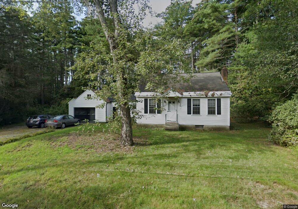
29 Warren Rd Townsend, MA 01469
Estimated Value: $395,000 - $551,000
3
Beds
1
Bath
1,165
Sq Ft
$401/Sq Ft
Est. Value
About This Home
This home is located at 29 Warren Rd, Townsend, MA 01469 and is currently estimated at $467,289, approximately $401 per square foot. 29 Warren Rd is a home located in Middlesex County with nearby schools including North Middlesex Regional High School.
Ownership History
Date
Name
Owned For
Owner Type
Purchase Details
Closed on
Jun 24, 2022
Sold by
Wac Ft and Cole
Bought by
Cole Brandon M and Cole Zachary T
Current Estimated Value
Home Financials for this Owner
Home Financials are based on the most recent Mortgage that was taken out on this home.
Original Mortgage
$145,500
Outstanding Balance
$137,689
Interest Rate
5.3%
Mortgage Type
Purchase Money Mortgage
Estimated Equity
$329,600
Purchase Details
Closed on
Nov 1, 2012
Sold by
Cole William R and Cole Anna C
Bought by
Wac Ft and Cole
Purchase Details
Closed on
Mar 13, 2012
Sold by
Cole William R and Drake Gail M
Bought by
Cole William R and Cole Anna C
Create a Home Valuation Report for This Property
The Home Valuation Report is an in-depth analysis detailing your home's value as well as a comparison with similar homes in the area
Home Values in the Area
Average Home Value in this Area
Purchase History
| Date | Buyer | Sale Price | Title Company |
|---|---|---|---|
| Cole Brandon M | $150,000 | None Available | |
| Wac Ft | -- | -- | |
| Wac Ft | -- | -- | |
| Cole William R | -- | -- | |
| Cole William R | -- | -- |
Source: Public Records
Mortgage History
| Date | Status | Borrower | Loan Amount |
|---|---|---|---|
| Open | Cole Brandon M | $145,500 |
Source: Public Records
Tax History
| Year | Tax Paid | Tax Assessment Tax Assessment Total Assessment is a certain percentage of the fair market value that is determined by local assessors to be the total taxable value of land and additions on the property. | Land | Improvement |
|---|---|---|---|---|
| 2025 | $4,433 | $305,300 | $96,300 | $209,000 |
| 2024 | $4,175 | $289,700 | $96,300 | $193,400 |
| 2023 | $4,116 | $269,700 | $83,300 | $186,400 |
| 2022 | $4,123 | $234,100 | $76,100 | $158,000 |
| 2021 | $3,990 | $217,700 | $75,200 | $142,500 |
| 2020 | $3,875 | $198,500 | $68,100 | $130,400 |
| 2019 | $3,721 | $192,500 | $68,100 | $124,400 |
| 2018 | $3,489 | $172,200 | $61,200 | $111,000 |
| 2017 | $3,318 | $168,700 | $64,200 | $104,500 |
| 2016 | $3,190 | $161,100 | $64,200 | $96,900 |
| 2015 | $3,146 | $164,600 | $71,200 | $93,400 |
| 2014 | $2,979 | $152,200 | $66,800 | $85,400 |
Source: Public Records
Map
Nearby Homes
- 11 Maplewood Dr
- 18 Beech St
- 7 Balsam Dr
- 45 Maplewood Dr
- Lot 10 Christian Cir
- 4 Koski Way
- 21 Magnolia Ln
- 9 Spaulding Rd
- 8 Old Meetinghouse Rd
- 1 Depot Street Extension Unit 1
- 1 Depot Street Extension Unit 3
- 1 Depot Street Extension Unit 5
- 1 Depot Street Extension Unit 2
- 1 Depot Street Extension Unit 4
- 2 Blueberry Hill Rd
- 26 Bluebird Ln
- 00 Tyler Rd
- 16 Worcester Rd
- 5 Turnpike Rd Unit 213 TWO
- 111 Squannacook Rd
Your Personal Tour Guide
Ask me questions while you tour the home.