29 Whipple Ave Unit 3R Roslindale, MA 02131
Roslindale NeighborhoodEstimated Value: $442,000 - $515,000
2
Beds
1
Bath
700
Sq Ft
$675/Sq Ft
Est. Value
About This Home
This home is located at 29 Whipple Ave Unit 3R, Roslindale, MA 02131 and is currently estimated at $472,598, approximately $675 per square foot. 29 Whipple Ave Unit 3R is a home located in Suffolk County with nearby schools including Brooke Charter School Roslindale, The Croft School - Jamaica Plain, and Sacred Heart STEM School.
Ownership History
Date
Name
Owned For
Owner Type
Purchase Details
Closed on
Aug 31, 2005
Sold by
Whipple Avenue Condo T
Bought by
Ratiu Gena
Current Estimated Value
Home Financials for this Owner
Home Financials are based on the most recent Mortgage that was taken out on this home.
Original Mortgage
$253,000
Outstanding Balance
$135,015
Interest Rate
5.81%
Mortgage Type
Purchase Money Mortgage
Estimated Equity
$337,583
Create a Home Valuation Report for This Property
The Home Valuation Report is an in-depth analysis detailing your home's value as well as a comparison with similar homes in the area
Home Values in the Area
Average Home Value in this Area
Purchase History
| Date | Buyer | Sale Price | Title Company |
|---|---|---|---|
| Ratiu Gena | $253,000 | -- |
Source: Public Records
Mortgage History
| Date | Status | Borrower | Loan Amount |
|---|---|---|---|
| Open | Ratiu Gena | $253,000 |
Source: Public Records
Tax History Compared to Growth
Tax History
| Year | Tax Paid | Tax Assessment Tax Assessment Total Assessment is a certain percentage of the fair market value that is determined by local assessors to be the total taxable value of land and additions on the property. | Land | Improvement |
|---|---|---|---|---|
| 2025 | $4,769 | $411,800 | $0 | $411,800 |
| 2024 | $3,941 | $361,600 | $0 | $361,600 |
| 2023 | $3,696 | $344,100 | $0 | $344,100 |
| 2022 | $3,499 | $321,600 | $0 | $321,600 |
| 2021 | $3,207 | $300,600 | $0 | $300,600 |
| 2020 | $2,783 | $263,500 | $0 | $263,500 |
| 2019 | $2,644 | $250,900 | $0 | $250,900 |
| 2018 | $2,629 | $250,900 | $0 | $250,900 |
| 2017 | $2,531 | $239,000 | $0 | $239,000 |
| 2016 | $2,389 | $217,200 | $0 | $217,200 |
| 2015 | $2,349 | $194,000 | $0 | $194,000 |
| 2014 | $2,105 | $167,300 | $0 | $167,300 |
Source: Public Records
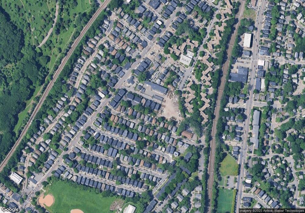
Map
Nearby Homes
- 19 Delford St
- 19 Delford St Unit 1
- 4012 Washington St
- 4031 Washington St
- 620 South St
- 18-20 Northbourne Rd Unit 18
- 348-350 Hyde Park Ave Unit 2
- 50 Southbourne Rd
- 187 Florence St Unit 2L
- 158 Wachusett St Unit 3
- 31 Rodman St Unit 2
- 31 Rodman St Unit 1
- 108 Florence St Unit 3
- 108 Florence St Unit 1
- 108 Florence St Unit 4
- 178 Hyde Park Ave Unit 3
- 140 Wachusett St
- 36 Neponset Ave Unit 1
- 71 Wyvern St
- 143-171 Hyde Park Ave Unit 169A
- 29 Whipple Ave Unit 2R
- 29 Whipple Ave Unit 2L
- 29 Whipple Ave Unit 1R
- 29 Whipple Ave Unit 1L
- 29 Whipple Ave Unit 3
- 29 Whipple Ave Unit 2
- 29 Whipple Ave Unit 1
- 29 Whipple Ave
- 29 Whipple Ave Unit 102
- 33 Whipple Ave
- 25 Whipple Ave
- 21 Whipple Ave
- 21 Whipple Ave Unit 1R
- 21 Whipple Ave Unit 2L
- 21 Whipple Ave Unit 3
- 21 Whipple Ave Unit 2R
- 21 Whipple Ave Unit 3L
- 21 Whipple Ave Unit 3R
- 21 Whipple Ave
- 42 Bradeen St