29 White Oak Dr Moorefield, WV 26836
Estimated Value: $569,044 - $772,000
6
Beds
4
Baths
3,839
Sq Ft
$172/Sq Ft
Est. Value
About This Home
This home is located at 29 White Oak Dr, Moorefield, WV 26836 and is currently estimated at $661,761, approximately $172 per square foot. 29 White Oak Dr is a home located in Hardy County with nearby schools including Moorefield Elementary School, Moorefield Intermediate School, and Moorefield Middle School.
Ownership History
Date
Name
Owned For
Owner Type
Purchase Details
Closed on
Jun 18, 2020
Sold by
Hinkle Cynthia A
Bought by
Putnam Aaron M and Putnam Barbara J
Current Estimated Value
Home Financials for this Owner
Home Financials are based on the most recent Mortgage that was taken out on this home.
Original Mortgage
$473,955
Outstanding Balance
$417,450
Interest Rate
3.1%
Mortgage Type
New Conventional
Estimated Equity
$244,311
Create a Home Valuation Report for This Property
The Home Valuation Report is an in-depth analysis detailing your home's value as well as a comparison with similar homes in the area
Purchase History
| Date | Buyer | Sale Price | Title Company |
|---|---|---|---|
| Putnam Aaron M | $498,900 | None Available |
Source: Public Records
Mortgage History
| Date | Status | Borrower | Loan Amount |
|---|---|---|---|
| Open | Putnam Aaron M | $473,955 |
Source: Public Records
Tax History
| Year | Tax Paid | Tax Assessment Tax Assessment Total Assessment is a certain percentage of the fair market value that is determined by local assessors to be the total taxable value of land and additions on the property. | Land | Improvement |
|---|---|---|---|---|
| 2025 | $2,227 | $289,510 | $34,090 | $255,420 |
| 2024 | $2,154 | $279,840 | $34,080 | $245,760 |
| 2023 | $2,162 | $279,850 | $34,090 | $245,760 |
| 2022 | $2,125 | $272,950 | $34,090 | $238,860 |
| 2021 | $1,863 | $259,080 | $34,080 | $225,000 |
| 2020 | $1,799 | $252,190 | $34,090 | $218,100 |
| 2019 | $1,970 | $252,190 | $34,090 | $218,100 |
| 2018 | $1,968 | $252,180 | $34,080 | $218,100 |
| 2017 | $1,941 | $248,770 | $30,670 | $218,100 |
| 2016 | $1,952 | $248,760 | $30,660 | $218,100 |
| 2015 | $1,951 | $248,790 | $30,660 | $218,130 |
| 2014 | $1,952 | $248,790 | $30,660 | $218,130 |
Source: Public Records
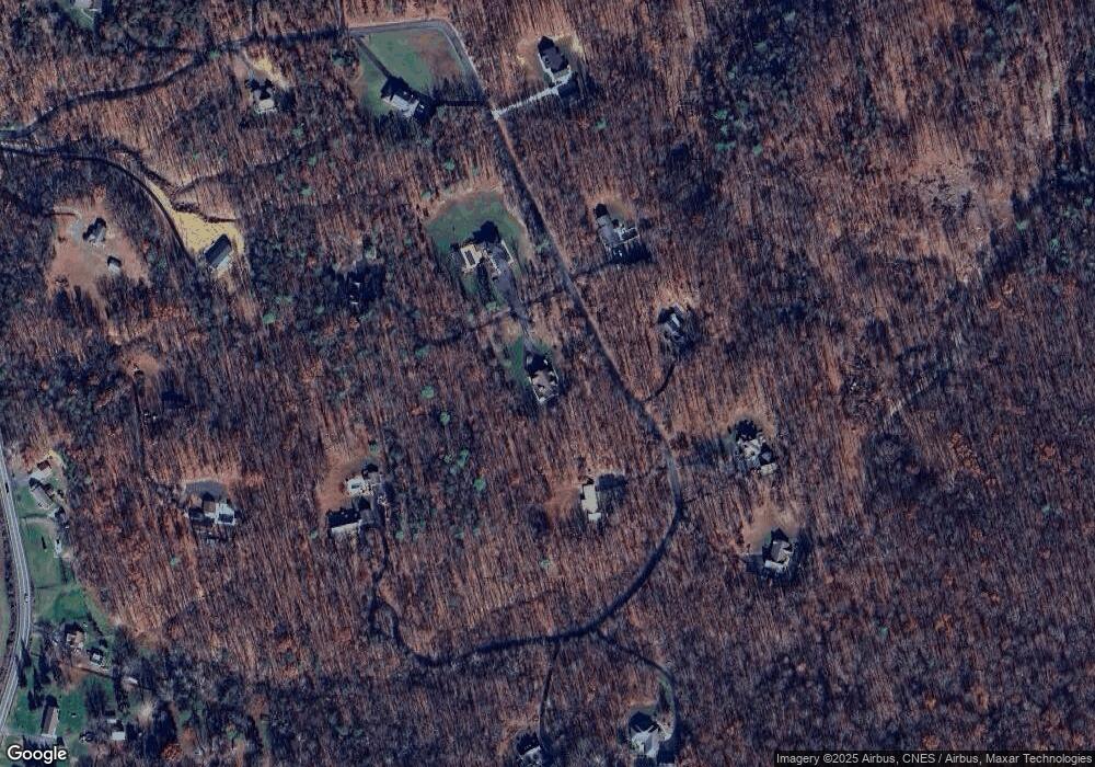
Map
Nearby Homes
- 125 Ender Dr
- 5723 U S 220
- 431 Lost River State Park Rd
- 200 Jackson St
- 0 Route 220 Unit WVHD2002898
- 105 Central Ave
- 224 Chipley Ln
- 1 S Fork Rd
- 123 N Elm St
- 211 Eisenhower Rd
- 6836 W Virginia 55
- 000 Route 220 Hwy
- 506 Evening St
- 307 Earl Barr Ln
- 201 Hope Mount Dr
- 9.38 Rt 55 E
- 362 Oak Hill Rd
- 205 Jacob Dr
- 140 Jacob Dr
- 523 Gloryridge Dr
- 30 White Oak Dr
- 435 Summit Dr
- 509 Summit Dr
- 105 White Oak Dr
- 544 Summit Dr
- 567 Summit Dr
- 244 Summit Dr
- 780 Summit Dr
- 176 Summit Dr
- 573 Summit Dr
- 125 Hideaway Dr
- 233 Summit Dr
- 175 Hideaway Dr
- 155 Summit Dr
- 185 Summit Dr
- 185 Summit Dr Unit 185
- 185 Summit Dr
- 647 Summit Dr
- 665 Summit Dr
- 4123 Us Highway 220 S
Your Personal Tour Guide
Ask me questions while you tour the home.