29 William j Higgins Rd Somerset, MA 02725
Brayton Point NeighborhoodEstimated Value: $452,550 - $529,000
3
Beds
2
Baths
1,424
Sq Ft
$342/Sq Ft
Est. Value
About This Home
This home is located at 29 William j Higgins Rd, Somerset, MA 02725 and is currently estimated at $487,638, approximately $342 per square foot. 29 William j Higgins Rd is a home located in Bristol County with nearby schools including South Elementary School, Somerset Middle School, and St. Michael's School.
Ownership History
Date
Name
Owned For
Owner Type
Purchase Details
Closed on
Oct 14, 2011
Sold by
Branco Manuel R and Branco Josephine
Bought by
Lopes Steve G
Current Estimated Value
Home Financials for this Owner
Home Financials are based on the most recent Mortgage that was taken out on this home.
Original Mortgage
$190,056
Outstanding Balance
$130,087
Interest Rate
4.25%
Estimated Equity
$357,551
Create a Home Valuation Report for This Property
The Home Valuation Report is an in-depth analysis detailing your home's value as well as a comparison with similar homes in the area
Home Values in the Area
Average Home Value in this Area
Purchase History
| Date | Buyer | Sale Price | Title Company |
|---|---|---|---|
| Lopes Steve G | $195,000 | -- | |
| Lopes Steve G | $195,000 | -- | |
| Lopes Steve G | $195,000 | -- |
Source: Public Records
Mortgage History
| Date | Status | Borrower | Loan Amount |
|---|---|---|---|
| Open | Lopes Steve G | $190,056 | |
| Closed | Lopes Steve G | $190,056 |
Source: Public Records
Tax History Compared to Growth
Tax History
| Year | Tax Paid | Tax Assessment Tax Assessment Total Assessment is a certain percentage of the fair market value that is determined by local assessors to be the total taxable value of land and additions on the property. | Land | Improvement |
|---|---|---|---|---|
| 2025 | $5,549 | $417,200 | $150,000 | $267,200 |
| 2024 | $5,206 | $407,000 | $150,000 | $257,000 |
| 2023 | $4,505 | $355,300 | $124,700 | $230,600 |
| 2022 | $4,170 | $313,800 | $107,500 | $206,300 |
| 2021 | $4,210 | $286,800 | $97,100 | $189,700 |
| 2020 | $4,179 | $274,600 | $97,200 | $177,400 |
| 2019 | $4,719 | $258,600 | $97,200 | $161,400 |
| 2018 | $4,104 | $242,000 | $93,600 | $148,400 |
| 2017 | $4,004 | $230,100 | $89,100 | $141,000 |
| 2016 | $3,842 | $219,400 | $78,400 | $141,000 |
| 2015 | $3,843 | $221,500 | $90,400 | $131,100 |
| 2014 | $5,390 | $223,200 | $90,400 | $132,800 |
Source: Public Records
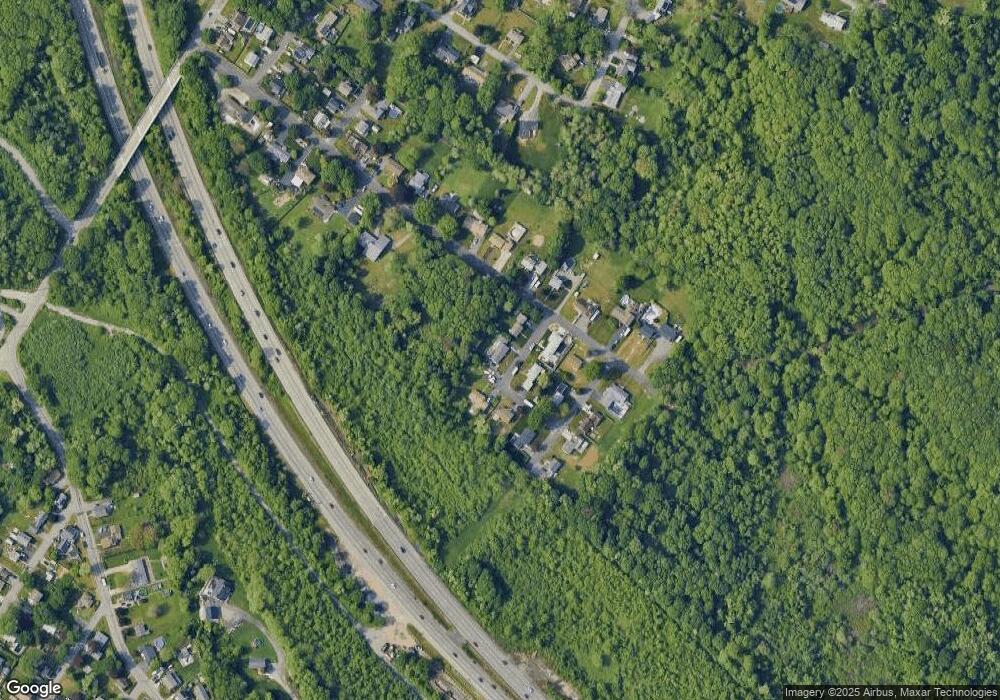
Map
Nearby Homes
- 462 Harbor View Blvd
- 132 Jackson Ave
- 167 Mercier Ave
- 105 Cornhill Rd
- 95 Caroline Ave
- 21 Bradley Ave
- 1 Taunton River
- 337 Lepes Rd
- 750 Davol St Unit 1012
- 750 Davol St Unit 119
- 750 Davol St Unit 324
- 159 Wilder St
- 339 Danforth St Unit 6
- 337 Danforth St Unit 7
- 700 Shore Dr Unit 6-604
- 700 Shore Dr Unit 1205
- 700 Shore Dr Unit 1106
- 675 Lees River Ave
- 11 Dyer St
- 34 Danforth St
- 11 William j Higgins Rd
- 28 William j Higgins Rd
- 000 Office Building Private
- 45 Andrew St
- 10 William j Higgins Rd
- 65 Hanley Rd
- 25 Andrew St
- 61 Hanley Rd
- 365 Harbor View Blvd
- 37 Hanley Rd
- 402 Harbor View Blvd
- 384 Harbor View Blvd
- 422 Harbor View Blvd
- 62 Hanley Rd
- 46 Hanley Rd
- 335 Harbor View Blvd
- 446 Harbor View Blvd
- 34 Hanley Rd
- 360 Harbor View Blvd
- 342 Harbor View Blvd