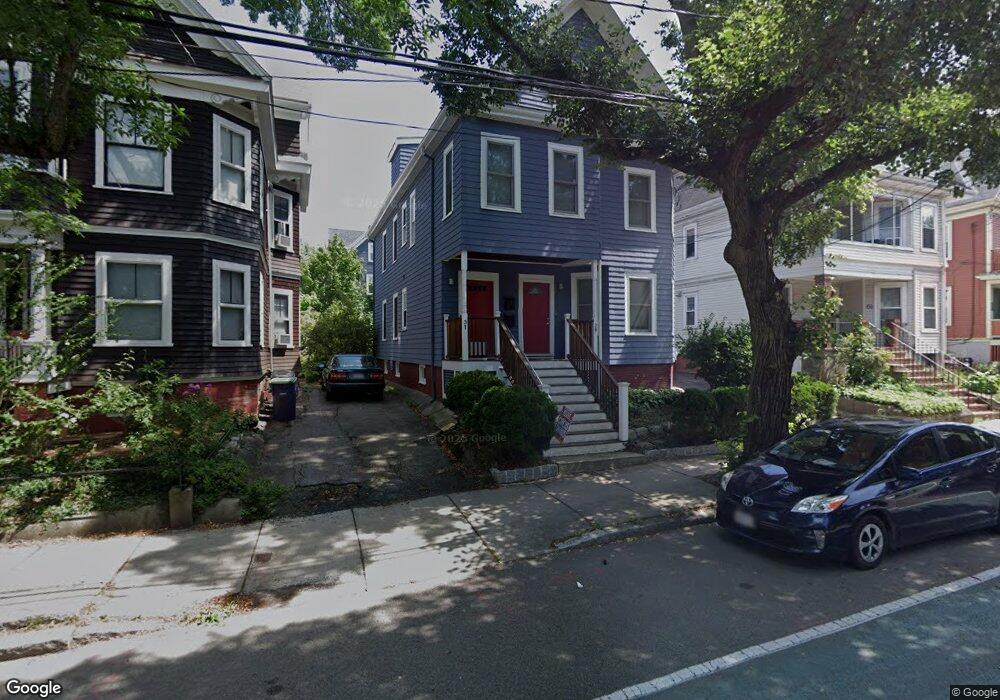
29 Willow Ave Somerville, MA 02144
Porter Square NeighborhoodEstimated Value: $1,076,000 - $1,925,842
5
Beds
3
Baths
3,269
Sq Ft
$449/Sq Ft
Est. Value
About This Home
This home is located at 29 Willow Ave, Somerville, MA 02144 and is currently estimated at $1,467,961, approximately $449 per square foot. 29 Willow Ave is a home located in Middlesex County with nearby schools including Somerville High School, Saint Theresa School, and St. Clement Elementary School.
Ownership History
Date
Name
Owned For
Owner Type
Purchase Details
Closed on
Aug 25, 1992
Sold by
Hahner Jeanne C
Bought by
Eatough Brian C
Current Estimated Value
Home Financials for this Owner
Home Financials are based on the most recent Mortgage that was taken out on this home.
Original Mortgage
$156,750
Interest Rate
8.12%
Mortgage Type
Purchase Money Mortgage
Create a Home Valuation Report for This Property
The Home Valuation Report is an in-depth analysis detailing your home's value as well as a comparison with similar homes in the area
Home Values in the Area
Average Home Value in this Area
Purchase History
| Date | Buyer | Sale Price | Title Company |
|---|---|---|---|
| Eatough Brian C | $165,000 | -- |
Source: Public Records
Mortgage History
| Date | Status | Borrower | Loan Amount |
|---|---|---|---|
| Open | Eatough Brian C | $38,000 | |
| Closed | Eatough Brian C | $156,750 |
Source: Public Records
Tax History
| Year | Tax Paid | Tax Assessment Tax Assessment Total Assessment is a certain percentage of the fair market value that is determined by local assessors to be the total taxable value of land and additions on the property. | Land | Improvement |
|---|---|---|---|---|
| 2025 | $15,665 | $1,435,800 | $717,900 | $717,900 |
| 2024 | $14,970 | $1,423,000 | $717,900 | $705,100 |
| 2023 | $14,210 | $1,374,300 | $717,900 | $656,400 |
| 2022 | $13,382 | $1,314,500 | $683,700 | $630,800 |
| 2021 | $12,995 | $1,275,300 | $678,700 | $596,600 |
| 2020 | $12,516 | $1,240,400 | $679,100 | $561,300 |
| 2019 | $11,830 | $1,099,400 | $618,300 | $481,100 |
| 2018 | $10,880 | $962,000 | $562,100 | $399,900 |
| 2017 | $10,673 | $914,600 | $530,300 | $384,300 |
| 2016 | $10,317 | $823,400 | $473,500 | $349,900 |
| 2015 | $9,888 | $784,100 | $437,300 | $346,800 |
Source: Public Records
Map
Nearby Homes
- 7 Beech St Unit 319
- 7 Beech St Unit 211
- 353 Summer St Unit 310
- 32-40 White St
- 49 Cherry St Unit 1
- 371 Highland Ave
- 7 Russell St Unit 1
- 18 Upland Rd Unit 1
- 7 Cypress St
- 68 Winslow Ave
- 3 Arlington St Unit 44
- 11 Cogswell Ave Unit 13
- 24 Cambridge Terrace Unit 2
- 23 Highland Rd
- 156 Albion St Unit B
- 13 Warwick St
- 118 Albion St Unit 2
- 8 Albion Terrace
- 35 Ibbetson St
- 178 Richdale Ave
- 27 Willow Ave Unit 2
- 27 Willow Ave Unit 1
- 27 Willow Ave
- 33 Willow Ave
- 23 Willow Ave
- 35 Willow Ave
- 35 Willow Ave
- 35 Willow Ave Unit 1
- 36 Banks St
- 32 Banks St
- 34 Banks St
- 42 Banks St
- 42 Banks St Unit 3
- 42 Banks St Unit 2
- 42 Banks St Unit 1
- 19 Willow Ave
- 37 Willow Ave
- 37 Willow Ave Unit 1
- 44 Banks St
- 44 Banks St Unit 2