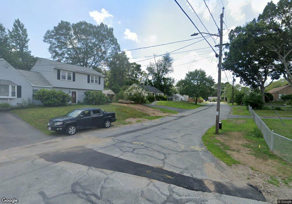
29 Woodbine Rd Stoughton, MA 02072
Estimated Value: $454,000 - $488,962
2
Beds
1
Bath
1,102
Sq Ft
$429/Sq Ft
Est. Value
About This Home
This home is located at 29 Woodbine Rd, Stoughton, MA 02072 and is currently estimated at $473,241, approximately $429 per square foot. 29 Woodbine Rd is a home located in Norfolk County with nearby schools including Wilkins Elementary School, Dr. Robert G. O'Donnell Middle School, and Stoughton High School.
Ownership History
Date
Name
Owned For
Owner Type
Purchase Details
Closed on
Jul 23, 2019
Sold by
Rockwell Robert N and Rockwell Lorraine T
Bought by
Rockwell Robert N
Current Estimated Value
Home Financials for this Owner
Home Financials are based on the most recent Mortgage that was taken out on this home.
Original Mortgage
$234,750
Outstanding Balance
$189,347
Interest Rate
3.73%
Mortgage Type
New Conventional
Estimated Equity
$283,894
Purchase Details
Closed on
Oct 10, 2017
Sold by
Rockwell Lorraine T
Bought by
Rockwell Robert N
Purchase Details
Closed on
Jun 20, 2011
Sold by
Barry Bretta and Barry Erin J
Bought by
Rockwell Lorraine T
Home Financials for this Owner
Home Financials are based on the most recent Mortgage that was taken out on this home.
Original Mortgage
$130,000
Interest Rate
4.74%
Mortgage Type
Purchase Money Mortgage
Purchase Details
Closed on
May 2, 2008
Sold by
Griffin Kathleen
Bought by
Barry Brett A and Donahue Erin J
Purchase Details
Closed on
Feb 27, 2004
Sold by
Courtney Brian P and Courtney Mary E
Bought by
Griffin Kathleen
Create a Home Valuation Report for This Property
The Home Valuation Report is an in-depth analysis detailing your home's value as well as a comparison with similar homes in the area
Home Values in the Area
Average Home Value in this Area
Purchase History
| Date | Buyer | Sale Price | Title Company |
|---|---|---|---|
| Rockwell Robert N | -- | -- | |
| Rockwell Robert N | -- | -- | |
| Rockwell Robert N | -- | -- | |
| Rockwell Robert N | -- | -- | |
| Rockwell Robert N | -- | -- | |
| Rockwell Robert N | -- | -- | |
| Rockwell Lorraine T | $224,400 | -- | |
| Rockwell Lorraine T | $224,400 | -- | |
| Rockwell Lorraine T | $224,400 | -- | |
| Barry Brett A | $233,500 | -- | |
| Barry Brett A | $233,500 | -- | |
| Barry Brett A | $233,500 | -- | |
| Griffin Kathleen | $220,000 | -- | |
| Griffin Kathleen | $220,000 | -- | |
| Griffin Kathleen | $220,000 | -- |
Source: Public Records
Mortgage History
| Date | Status | Borrower | Loan Amount |
|---|---|---|---|
| Open | Rockwell Robert N | $234,750 | |
| Closed | Rockwell Robert N | $234,750 | |
| Previous Owner | Rockwell Lorraine T | $130,000 |
Source: Public Records
Tax History Compared to Growth
Tax History
| Year | Tax Paid | Tax Assessment Tax Assessment Total Assessment is a certain percentage of the fair market value that is determined by local assessors to be the total taxable value of land and additions on the property. | Land | Improvement |
|---|---|---|---|---|
| 2025 | $4,852 | $391,900 | $206,700 | $185,200 |
| 2024 | $4,729 | $371,500 | $188,300 | $183,200 |
| 2023 | $4,585 | $338,400 | $175,000 | $163,400 |
| 2022 | $4,372 | $303,400 | $160,000 | $143,400 |
| 2021 | $4,223 | $279,700 | $145,000 | $134,700 |
| 2020 | $4,090 | $274,700 | $140,000 | $134,700 |
| 2019 | $4,047 | $263,800 | $140,000 | $123,800 |
| 2018 | $3,590 | $242,400 | $133,300 | $109,100 |
| 2017 | $3,373 | $232,800 | $126,700 | $106,100 |
| 2016 | $3,171 | $211,800 | $116,700 | $95,100 |
| 2015 | $3,103 | $205,100 | $110,000 | $95,100 |
| 2014 | $2,866 | $182,100 | $100,000 | $82,100 |
Source: Public Records
Map
Nearby Homes
- 42 Amherst Rd
- 229 Stoughton St
- 32 Doty Dr
- 178 Carey Cir
- 0 Washington St Unit 72888098
- 0 Washington St Unit 71897113
- 102 Ewing Dr
- 120 Charles Ave
- 163 Pearl St
- 28 Faxon St Unit 4
- 26 Faxon St Unit 2
- 84 Pearl St
- 11 Monk St
- 81 Summer St Unit 1
- 30 Porter St
- 32 Marys Way
- 316 Pleasant St
- 6 Grove St
- 280 Deady Ave
- 43 Elderwood Dr Unit 43