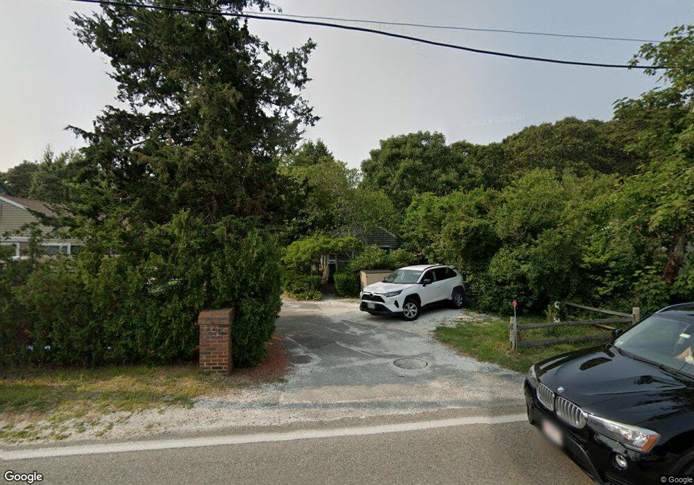
290-A Bradford St Provincetown, MA 2657
Estimated Value: $947,000 - $1,499,000
2
Beds
1
Bath
636
Sq Ft
$1,889/Sq Ft
Est. Value
About This Home
This home is located at 290-A Bradford St, Provincetown, MA 2657 and is currently estimated at $1,201,103, approximately $1,888 per square foot. 290-A Bradford St is a home located in Barnstable County with nearby schools including Provincetown Schools.
Ownership History
Date
Name
Owned For
Owner Type
Purchase Details
Closed on
Sep 10, 2021
Sold by
Deruyter Ft
Bought by
Cape Commerce Nt
Current Estimated Value
Home Financials for this Owner
Home Financials are based on the most recent Mortgage that was taken out on this home.
Original Mortgage
$500,000
Outstanding Balance
$454,963
Interest Rate
2.8%
Mortgage Type
Purchase Money Mortgage
Estimated Equity
$746,140
Purchase Details
Closed on
Jan 2, 2020
Sold by
Deruyter Paul and Deruyter Marilyn B
Bought by
Deruyter Ft
Purchase Details
Closed on
Jun 21, 2017
Sold by
Deruyter Benjamin W and Deruyter Jaqueline L
Bought by
Deruyter Paul and Deruyter Marilyn
Purchase Details
Closed on
Mar 10, 2017
Sold by
Tate Joseph F
Bought by
Deruyter Benjamin W and Deruyter Jacqueline L
Home Financials for this Owner
Home Financials are based on the most recent Mortgage that was taken out on this home.
Original Mortgage
$460,000
Interest Rate
4.19%
Mortgage Type
Unknown
Purchase Details
Closed on
Mar 22, 2011
Sold by
Amplo Christopher N
Bought by
Tate Joseph F
Home Financials for this Owner
Home Financials are based on the most recent Mortgage that was taken out on this home.
Original Mortgage
$150,000
Interest Rate
4.84%
Mortgage Type
Purchase Money Mortgage
Purchase Details
Closed on
Mar 20, 2009
Sold by
Moten Clarence C and Newton Nelson G
Bought by
Amplo Christopher N
Home Financials for this Owner
Home Financials are based on the most recent Mortgage that was taken out on this home.
Original Mortgage
$260,000
Interest Rate
5.25%
Mortgage Type
Purchase Money Mortgage
Purchase Details
Closed on
Aug 4, 1998
Sold by
Lanois Jeannine M
Bought by
Moten Clarence C and Newton Nelson G
Purchase Details
Closed on
Aug 13, 1993
Sold by
Hanson Robert M
Bought by
Lanois Jeannine M
Create a Home Valuation Report for This Property
The Home Valuation Report is an in-depth analysis detailing your home's value as well as a comparison with similar homes in the area
Home Values in the Area
Average Home Value in this Area
Purchase History
| Date | Buyer | Sale Price | Title Company |
|---|---|---|---|
| Cape Commerce Nt | $650,000 | None Available | |
| Cape Commerce Nt | $650,000 | None Available | |
| Deruyter Ft | -- | None Available | |
| Deruyter Ft | -- | None Available | |
| Deruyter Paul | $575,000 | -- | |
| Deruyter Paul | $575,000 | -- | |
| Deruyter Benjamin W | $575,000 | -- | |
| Deruyter Benjamin W | $575,000 | -- | |
| Tate Joseph F | $399,000 | -- | |
| Tate Joseph F | $399,000 | -- | |
| Amplo Christopher N | $340,000 | -- | |
| Amplo Christopher N | $340,000 | -- | |
| Moten Clarence C | $180,000 | -- | |
| Moten Clarence C | $180,000 | -- | |
| Lanois Jeannine M | $112,500 | -- | |
| Lanois Jeannine M | $112,500 | -- |
Source: Public Records
Mortgage History
| Date | Status | Borrower | Loan Amount |
|---|---|---|---|
| Open | Cape Commerce Nt | $500,000 | |
| Closed | Cape Commerce Nt | $500,000 | |
| Previous Owner | Deruyter Benjamin W | $460,000 | |
| Previous Owner | Tate Joseph F | $150,000 | |
| Previous Owner | Amplo Christopher N | $260,000 |
Source: Public Records
Tax History Compared to Growth
Tax History
| Year | Tax Paid | Tax Assessment Tax Assessment Total Assessment is a certain percentage of the fair market value that is determined by local assessors to be the total taxable value of land and additions on the property. | Land | Improvement |
|---|---|---|---|---|
| 2025 | $5,473 | $977,300 | $482,700 | $494,600 |
| 2024 | $5,199 | $931,700 | $460,000 | $471,700 |
| 2023 | $4,643 | $776,400 | $400,000 | $376,400 |
| 2022 | $4,212 | $632,400 | $373,900 | $258,500 |
| 2021 | $4,101 | $579,300 | $339,900 | $239,400 |
| 2020 | $3,757 | $567,500 | $339,900 | $227,600 |
| 2019 | $3,716 | $526,300 | $330,000 | $196,300 |
| 2018 | $3,610 | $484,600 | $320,400 | $164,200 |
| 2017 | $3,606 | $467,700 | $314,100 | $153,600 |
| 2016 | $3,724 | $477,400 | $338,900 | $138,500 |
| 2015 | $2,713 | $367,600 | $232,500 | $135,100 |
Source: Public Records
Map
Nearby Homes
- 290A Bradford St
- 289 Bradford St
- 592 Commercial St
- 594 Commercial St
- 616 Commercial St Unit 10
- 616 Commercial St Unit 14
- 616 Commercial St Unit 15
- 616 Commercial St Unit 5
- 613 Commercial St
- 580 Commercial St
- 593 Commercial St
- 624 Commercial St
- 633 Commercial St Unit 2
- 561 Commercial St
- 343 Bradford St
- 262 Bradford St Unit 2
- 4 Bradford Acres Rd Unit F
- 290-C Bradford St
- 290-E Bradford St
- 288 Bradford St
- 290-D Bradford St Unit 2
- 290-D Bradford St Unit 3
- 290-D Bradford St Unit 1
- 291 Bradford St
- 290 Bradford St
- 290 Bradford St Unit 3
- 290 Bradford St Unit 1
- 290 Bradford St
- 290 Bradford St
- 290 Bradford St
- 290D Bradford St Unit U2
- 290 Bradford St Unit 2
- 290D Bradford St Unit U1A
- 290D Bradford St Unit 1A
- 596 Commercial St Unit 4
- 596 Commercial St Unit 3
- 596 Commercial St Unit 2