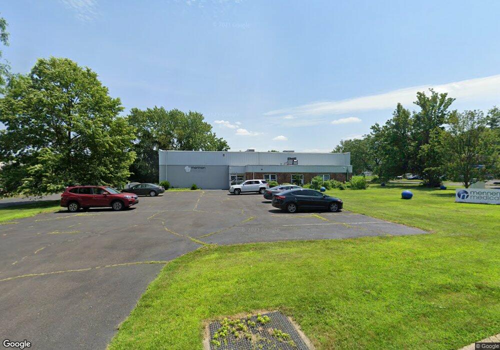
290 Andrews Rd Feasterville Trevose, PA 19053
Estimated Value: $1,810,870
--
Bed
--
Bath
8,900
Sq Ft
$203/Sq Ft
Est. Value
About This Home
This home is located at 290 Andrews Rd, Feasterville Trevose, PA 19053 and is currently estimated at $1,810,870, approximately $203 per square foot. 290 Andrews Rd is a home located in Bucks County with nearby schools including Tawanka Elementary School, Poquessing Middle School, and Neshaminy High School.
Ownership History
Date
Name
Owned For
Owner Type
Purchase Details
Closed on
Oct 28, 2019
Sold by
Redworth Capital Corp
Bought by
Ain Capital Partners Inc
Current Estimated Value
Purchase Details
Closed on
Nov 29, 2011
Sold by
Ren Peter E and Ren Heather H
Bought by
Redworth Capital Corp
Purchase Details
Closed on
Jan 25, 1995
Sold by
Morris Ronald and Morris Ruthanne
Bought by
Ren Peter E and Ren Heather H
Home Financials for this Owner
Home Financials are based on the most recent Mortgage that was taken out on this home.
Original Mortgage
$325,000
Interest Rate
9.13%
Mortgage Type
Commercial
Create a Home Valuation Report for This Property
The Home Valuation Report is an in-depth analysis detailing your home's value as well as a comparison with similar homes in the area
Home Values in the Area
Average Home Value in this Area
Purchase History
| Date | Buyer | Sale Price | Title Company |
|---|---|---|---|
| Ain Capital Partners Inc | $1,200,000 | J & A Abstract Inc | |
| Redworth Capital Corp | $630,000 | None Available | |
| Ren Peter E | $360,000 | -- |
Source: Public Records
Mortgage History
| Date | Status | Borrower | Loan Amount |
|---|---|---|---|
| Previous Owner | Ren Peter E | $325,000 |
Source: Public Records
Tax History Compared to Growth
Tax History
| Year | Tax Paid | Tax Assessment Tax Assessment Total Assessment is a certain percentage of the fair market value that is determined by local assessors to be the total taxable value of land and additions on the property. | Land | Improvement |
|---|---|---|---|---|
| 2025 | $15,625 | $73,440 | $19,600 | $53,840 |
| 2024 | $15,625 | $73,440 | $19,600 | $53,840 |
| 2023 | $15,478 | $73,440 | $19,600 | $53,840 |
| 2022 | $15,065 | $73,440 | $19,600 | $53,840 |
| 2021 | $15,065 | $73,440 | $19,600 | $53,840 |
| 2020 | $14,881 | $73,440 | $19,600 | $53,840 |
| 2019 | $14,543 | $73,440 | $19,600 | $53,840 |
| 2018 | $14,272 | $73,440 | $19,600 | $53,840 |
| 2017 | $13,901 | $73,440 | $19,600 | $53,840 |
| 2016 | $13,901 | $73,440 | $19,600 | $53,840 |
| 2015 | $11,163 | $73,440 | $19,600 | $53,840 |
| 2014 | $11,163 | $73,440 | $19,600 | $53,840 |
Source: Public Records
Map
Nearby Homes
- 235 Andrews Rd
- 24 Springmeadow Rd
- 517 Somers Ave
- 510 Walnut Ave
- 611 Rosewood Ave
- 4357 Brownsville Rd
- 402 Larchwood Ave
- 387 Larchwood Ave
- 533 Avenue F
- 100 E Endfield Rd
- 111 E Endfield Rd
- 2067 Herrick Ave
- 2053 Christina Ct
- 1515 N Meadowbrook Rd
- 125 Fox Hollow Dr
- 1544 Brownsville Rd
- 836 E Bristol Rd
- 2304 Brownsville Rd Unit L22
- 2304 Brownsville Rd Unit P11
- 2304 Brownsville Rd
- 290 Andrews Rd Unit 109
- 290 Andrews Rd Unit 106
- 290 Andrews Rd Unit 108
- 290 Andrews Rd Unit 107
- 290 Andrews Rd Unit 116
- 1 Over Rd
- 1845 Overlook Rd
- 3 Over Rd
- 1841 Overlook Rd
- 446 Clearview Ave
- 1816 Forrest Ave
- 7 Over Rd
- 1833 Overlook Rd
- 2XX Andrews Rd
- 456 Clearview Ave
- 17 Somers Ave
- 448 Clearview Ave
- 442 Clearview Ave
- 470 Clearview Ave
- 4 Over Rd