290 Atwood Rd Thomaston, CT 06787
Estimated Value: $380,321 - $404,000
3
Beds
2
Baths
1,776
Sq Ft
$220/Sq Ft
Est. Value
About This Home
This home is located at 290 Atwood Rd, Thomaston, CT 06787 and is currently estimated at $390,080, approximately $219 per square foot. 290 Atwood Rd is a home located in Litchfield County with nearby schools including Black Rock School, Thomaston Center School, and Thomaston High School.
Ownership History
Date
Name
Owned For
Owner Type
Purchase Details
Closed on
Nov 22, 2010
Sold by
Chfa
Bought by
Furan Michael
Current Estimated Value
Home Financials for this Owner
Home Financials are based on the most recent Mortgage that was taken out on this home.
Original Mortgage
$177,509
Outstanding Balance
$117,713
Interest Rate
4.37%
Mortgage Type
FHA
Estimated Equity
$272,367
Purchase Details
Closed on
Mar 15, 2010
Sold by
Bandurski David
Bought by
Gmac Mortgage Llc
Purchase Details
Closed on
Aug 30, 2004
Sold by
Britton David and Britton Kathleen
Bought by
Bandurski David
Home Financials for this Owner
Home Financials are based on the most recent Mortgage that was taken out on this home.
Original Mortgage
$171,000
Interest Rate
6.02%
Purchase Details
Closed on
Nov 7, 2002
Sold by
Mosimann Gerald and Mosimann Eileen
Bought by
Britton David and Britton Kathleen
Create a Home Valuation Report for This Property
The Home Valuation Report is an in-depth analysis detailing your home's value as well as a comparison with similar homes in the area
Home Values in the Area
Average Home Value in this Area
Purchase History
| Date | Buyer | Sale Price | Title Company |
|---|---|---|---|
| Furan Michael | $179,900 | -- | |
| Gmac Mortgage Llc | -- | -- | |
| Bandurski David | $221,000 | -- | |
| Britton David | $187,000 | -- |
Source: Public Records
Mortgage History
| Date | Status | Borrower | Loan Amount |
|---|---|---|---|
| Open | Britton David | $177,509 | |
| Previous Owner | Britton David | $171,000 | |
| Previous Owner | Britton David | $45,738 |
Source: Public Records
Tax History Compared to Growth
Tax History
| Year | Tax Paid | Tax Assessment Tax Assessment Total Assessment is a certain percentage of the fair market value that is determined by local assessors to be the total taxable value of land and additions on the property. | Land | Improvement |
|---|---|---|---|---|
| 2025 | $5,269 | $147,140 | $60,340 | $86,800 |
| 2024 | $5,056 | $147,140 | $60,340 | $86,800 |
| 2023 | $4,948 | $147,140 | $60,340 | $86,800 |
| 2022 | $4,725 | $147,140 | $60,340 | $86,800 |
| 2021 | $4,762 | $131,810 | $54,880 | $76,930 |
| 2020 | $4,762 | $131,810 | $54,880 | $76,930 |
| 2019 | $4,815 | $131,810 | $54,880 | $76,930 |
| 2018 | $4,717 | $131,810 | $54,880 | $76,930 |
| 2017 | $4,620 | $131,810 | $54,880 | $76,930 |
| 2016 | $4,524 | $132,790 | $54,880 | $77,910 |
| 2015 | $4,466 | $132,790 | $54,880 | $77,910 |
| 2014 | $4,466 | $132,790 | $54,880 | $77,910 |
Source: Public Records
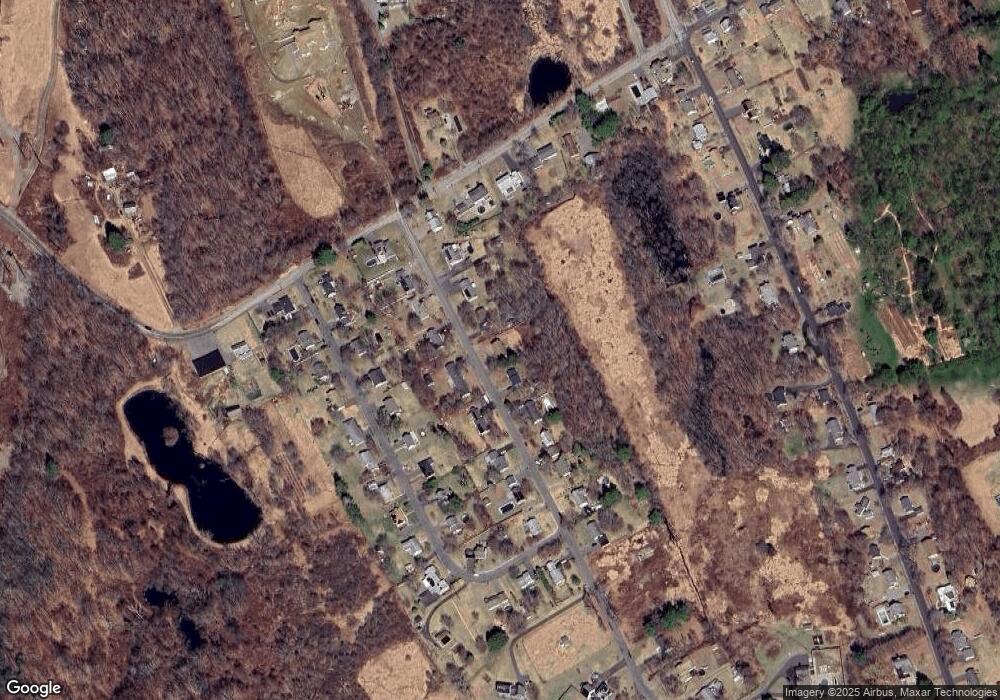
Map
Nearby Homes
- 94 Atwood Heights
- 75 Atwood Heights
- 164 Atwood Rd
- 719 High Street Extension
- 17 Hill Top Ln
- 26 Julia Ln
- 718 Northfield Rd
- 21 Knife Shop Rd
- 52 Fenn Rd
- 120 Hotchkiss Ave
- 397 Walnut Hill Rd
- 17 George St
- 252 Litchfield St
- 13 Turner Rd
- 362 Hill Rd
- 58 Litchfield St
- 42 Litchfield St
- 753 Hill Rd
- 22 Park St
- 82 Pleasant St
- 282 Atwood Rd
- 294 Atwood Rd
- 278 Atwood Rd
- 298 Atwood Rd
- 289 Atwood Rd
- 295 Atwood Rd
- 281 Atwood Rd
- 260 Atwood Rd
- 320 Atwood Rd
- 301 Atwood Rd
- 259 Atwood Rd
- 319 Atwood Rd
- 86 Atwood Heights
- 252 Atwood Rd
- 74 Atwood Heights
- 330 Atwood Rd
- 75 Mason Hill Rd
- 63 Mason Hill Rd
- 68 Atwood Heights
- 104 Atwood Heights