290 Belles Rd Nanticoke, PA 18634
Estimated Value: $179,000 - $216,986
--
Bed
--
Bath
1,572
Sq Ft
$123/Sq Ft
Est. Value
About This Home
This home is located at 290 Belles Rd, Nanticoke, PA 18634 and is currently estimated at $192,997, approximately $122 per square foot. 290 Belles Rd is a home located in Luzerne County with nearby schools including Kennedy Early Childhood Center, Nanticoke Area Elementary Center Center, and Greater Nanticoke Area Senior High School.
Ownership History
Date
Name
Owned For
Owner Type
Purchase Details
Closed on
Sep 1, 2011
Sold by
Bambera Most Reverend Joseph C
Bought by
Betkoski Melissa A
Current Estimated Value
Home Financials for this Owner
Home Financials are based on the most recent Mortgage that was taken out on this home.
Original Mortgage
$18,000
Interest Rate
4.58%
Mortgage Type
New Conventional
Purchase Details
Closed on
Sep 13, 2000
Bought by
Betkoski Melissa A
Create a Home Valuation Report for This Property
The Home Valuation Report is an in-depth analysis detailing your home's value as well as a comparison with similar homes in the area
Home Values in the Area
Average Home Value in this Area
Purchase History
| Date | Buyer | Sale Price | Title Company |
|---|---|---|---|
| Betkoski Melissa A | $30,000 | None Available | |
| Betkoski Melissa A | -- | -- |
Source: Public Records
Mortgage History
| Date | Status | Borrower | Loan Amount |
|---|---|---|---|
| Closed | Betkoski Melissa A | $18,000 |
Source: Public Records
Tax History Compared to Growth
Tax History
| Year | Tax Paid | Tax Assessment Tax Assessment Total Assessment is a certain percentage of the fair market value that is determined by local assessors to be the total taxable value of land and additions on the property. | Land | Improvement |
|---|---|---|---|---|
| 2025 | $4,013 | $169,600 | $35,300 | $134,300 |
| 2024 | $4,013 | $169,600 | $35,300 | $134,300 |
| 2023 | $3,893 | $169,600 | $35,300 | $134,300 |
| 2022 | $3,861 | $169,600 | $35,300 | $134,300 |
| 2021 | $3,728 | $169,600 | $35,300 | $134,300 |
| 2020 | $3,703 | $169,600 | $35,300 | $134,300 |
| 2019 | $3,610 | $169,600 | $35,300 | $134,300 |
| 2018 | $3,487 | $169,600 | $35,300 | $134,300 |
| 2017 | $3,289 | $169,600 | $35,300 | $134,300 |
| 2016 | -- | $169,600 | $35,300 | $134,300 |
| 2015 | -- | $169,600 | $35,300 | $134,300 |
| 2014 | -- | $169,600 | $35,300 | $134,300 |
Source: Public Records
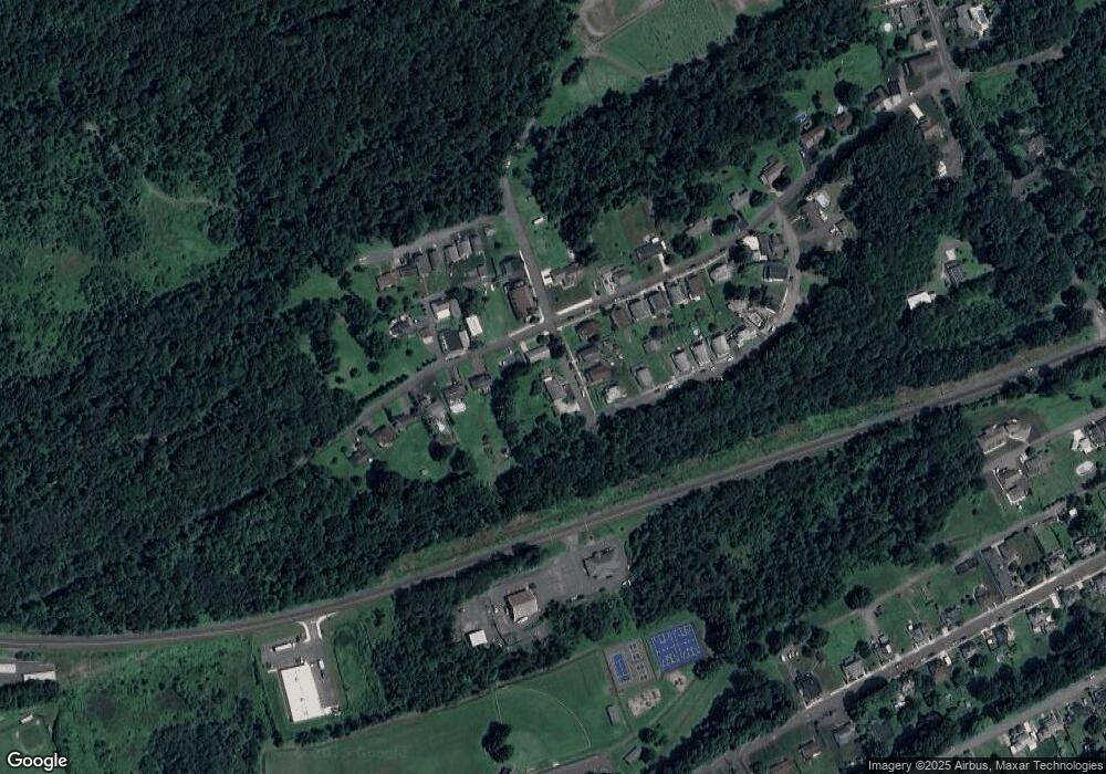
Map
Nearby Homes
- 1039 W Main Ave
- 13 Coal St
- 86 E Main St
- 64-64.5 W Ridge St
- Hemlock St Hemlock St
- 0 Fine and Hemlock St
- 1116 Chestnut St
- 0 Enterprise St
- 53 Vista Dr
- 200 W Union St
- Lot 55 Vista Dr
- Lot 45 Vista Dr
- Lot 47 Vista Dr
- Lot 50 Vista Dr
- Lot 53 Vista Dr
- 15 Sunset View Dr
- Lot 16 Sunset View Dr
- Lot 1 Sunset View Dr
- Lot 9 Sunset View Dr
- 314 W Main St
- 301 Vandermark Rd
- 303 Vandermark Rd
- 275 Miner Ave
- 276 Belles Rd
- 277 Belles Rd
- 278 Belles Rd
- 280 Vandermark Rd
- 274 Miner Ave
- 7 College Hill
- 305 Vandermark Rd
- 0 Vandermark Rd
- 273 Miner Ave
- 282 Vandermark Rd
- 3 College Hill
- 1 College Hill
- 307 Vandermark Rd
- 2 College Hill
- 2 College Hill
- 283 Vandermark Rd
- 284 Vandermark Rd