290 Cass Rd Crandall, GA 30711
Cisco NeighborhoodEstimated Value: $485,000 - $793,806
--
Bed
2
Baths
3,572
Sq Ft
$174/Sq Ft
Est. Value
About This Home
This home is located at 290 Cass Rd, Crandall, GA 30711 and is currently estimated at $622,269, approximately $174 per square foot. 290 Cass Rd is a home located in Murray County with nearby schools including Northwest Elementary School, Bagley Middle School, and North Murray High School.
Ownership History
Date
Name
Owned For
Owner Type
Purchase Details
Closed on
Nov 16, 2020
Sold by
Burgess Danny Lane
Bought by
L & L Farm Llc
Current Estimated Value
Purchase Details
Closed on
Apr 27, 2012
Sold by
Burgess Danny Lane
Bought by
Burgess Danny Lane and Burgess Sherry R
Purchase Details
Closed on
Jul 5, 2000
Sold by
Cochran Douglas A
Bought by
Burgess Danny Lane
Purchase Details
Closed on
Dec 20, 1986
Bought by
Cochran Douglas A
Create a Home Valuation Report for This Property
The Home Valuation Report is an in-depth analysis detailing your home's value as well as a comparison with similar homes in the area
Home Values in the Area
Average Home Value in this Area
Purchase History
| Date | Buyer | Sale Price | Title Company |
|---|---|---|---|
| L & L Farm Llc | $2,700,000 | -- | |
| Burgess Danny Lane | -- | -- | |
| Burgess Danny Lane | $245,000 | -- | |
| Cochran Douglas A | $100,000 | -- |
Source: Public Records
Tax History Compared to Growth
Tax History
| Year | Tax Paid | Tax Assessment Tax Assessment Total Assessment is a certain percentage of the fair market value that is determined by local assessors to be the total taxable value of land and additions on the property. | Land | Improvement |
|---|---|---|---|---|
| 2024 | $3,075 | $282,164 | $77,920 | $204,244 |
| 2023 | $3,152 | $277,564 | $77,920 | $199,644 |
| 2022 | $8,939 | $425,004 | $61,880 | $363,124 |
| 2021 | $6,285 | $354,684 | $61,440 | $293,244 |
| 2020 | $12,360 | $652,168 | $134,840 | $517,328 |
| 2019 | $12,391 | $648,328 | $131,000 | $517,328 |
| 2018 | $11,084 | $555,848 | $121,160 | $434,688 |
| 2017 | $447 | $495,008 | $86,480 | $408,528 |
| 2016 | $9,152 | $494,384 | $101,640 | $392,744 |
| 2015 | -- | $488,064 | $101,640 | $386,424 |
| 2014 | -- | $390,344 | $101,640 | $288,704 |
| 2013 | -- | $390,344 | $101,640 | $288,704 |
Source: Public Records
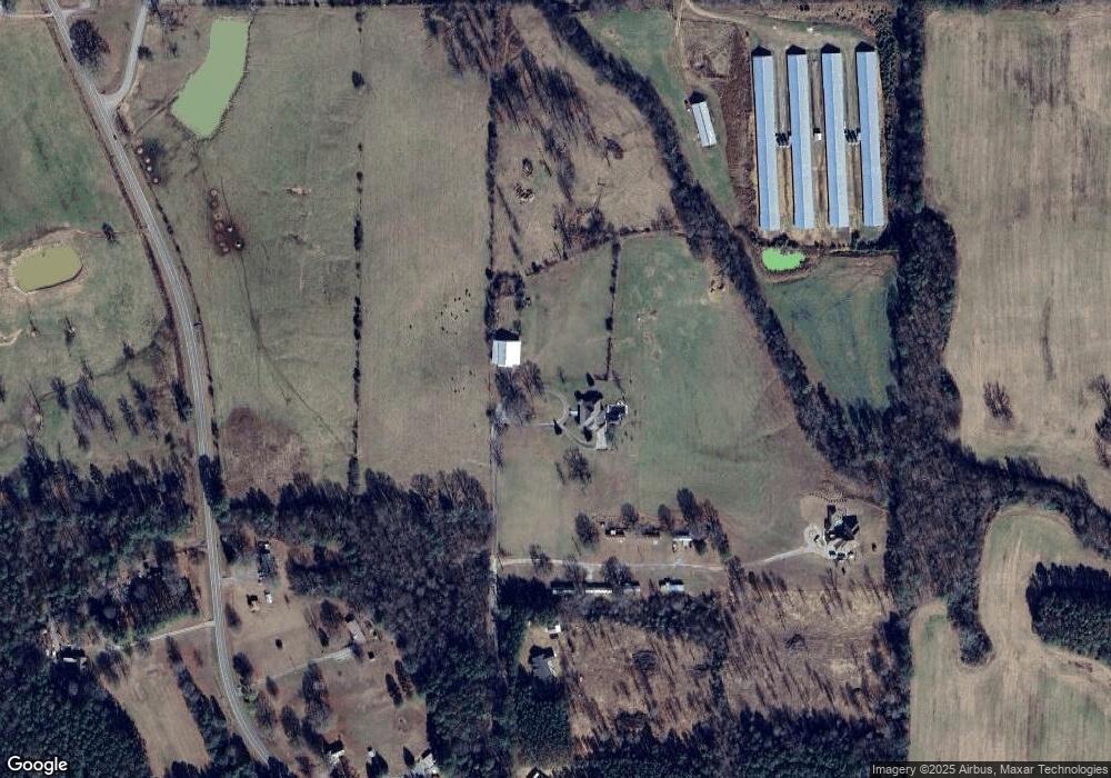
Map
Nearby Homes
- 10104 Georgia 225 Unit 4
- 1339 Richard Bennett Rd
- 247 Ac Maddron Rd
- 19 Highway 411
- 242 AC Maddron Rd
- 205+ Ac Maddron Rd
- 44 Brush Town Rd
- 00 Georgia 2
- 910 Brushtown Rd
- 0 Georgia 2
- Landlot 19 Highway 411
- 1141 Brush Town Rd
- 1371 Halls Chapel Rd
- 0 Doctor Johnson Rd
- 396 Doctor Johnson Rd
- 0 Baxter Rd
- 9338 Hwy 255n
- 37 Ac Carson Ave
- 37 Acres Carson Ave
- 160 Fairy Valley Dr
- 51 Colvard Rd
- 1251 Richard Bennett Rd
- 50 Mcneely Rd
- 50 Mcneely Rd
- 246 Colvard Rd
- 176 Colvard Rd
- 3521 Halls Chapel Rd
- 323 Colvard Rd
- 212 Cass Rd
- 3528 Halls Chapel Rd
- 3481 Halls Chapel Rd
- 3191 Halls Chapel Rd
- 351 Colvard Rd
- 2452 Richard Bennett Rd
- 3194 Halls Chapel Rd
- 381 Colvard Rd
- 2454 Richard Bennett Rd
- 10842 NE
- 10842 NE 225
- 2344 Richard Bennett Rd