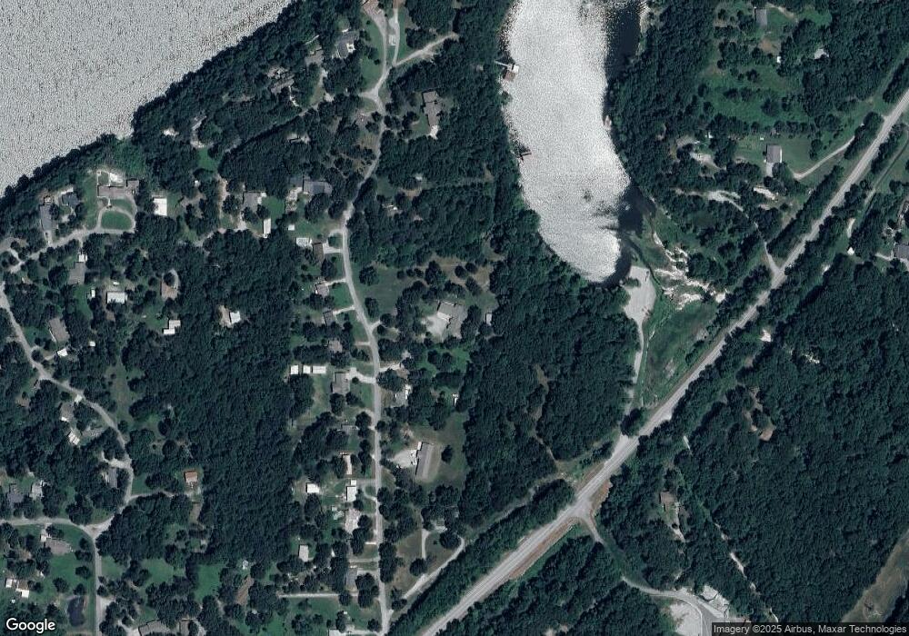
290 Covey Ln Locust Grove, OK 74352
Estimated Value: $451,000 - $494,000
3
Beds
2
Baths
2,820
Sq Ft
$168/Sq Ft
Est. Value
About This Home
This home is located at 290 Covey Ln, Locust Grove, OK 74352 and is currently estimated at $473,267, approximately $167 per square foot. 290 Covey Ln is a home located in Mayes County with nearby schools including Locust Grove Early Lrning Center, Locust Grove Upper Elementary School, and Locust Grove Middle School.
Ownership History
Date
Name
Owned For
Owner Type
Purchase Details
Closed on
Jun 29, 2009
Sold by
January Christopher George and Martin Mary Ann
Bought by
Martin Mark R
Current Estimated Value
Home Financials for this Owner
Home Financials are based on the most recent Mortgage that was taken out on this home.
Original Mortgage
$212,400
Outstanding Balance
$135,638
Interest Rate
4.97%
Mortgage Type
New Conventional
Estimated Equity
$337,629
Create a Home Valuation Report for This Property
The Home Valuation Report is an in-depth analysis detailing your home's value as well as a comparison with similar homes in the area
Home Values in the Area
Average Home Value in this Area
Purchase History
| Date | Buyer | Sale Price | Title Company |
|---|---|---|---|
| Martin Mark R | $265,500 | None Available |
Source: Public Records
Mortgage History
| Date | Status | Borrower | Loan Amount |
|---|---|---|---|
| Open | Martin Mark R | $212,400 |
Source: Public Records
Tax History Compared to Growth
Tax History
| Year | Tax Paid | Tax Assessment Tax Assessment Total Assessment is a certain percentage of the fair market value that is determined by local assessors to be the total taxable value of land and additions on the property. | Land | Improvement |
|---|---|---|---|---|
| 2025 | $2,315 | $26,662 | $2,122 | $24,540 |
| 2023 | $2,315 | $25,131 | $2,045 | $23,086 |
| 2022 | $2,111 | $24,399 | $2,016 | $22,383 |
| 2021 | $2,091 | $23,689 | $2,016 | $21,673 |
| 2020 | $2,057 | $22,999 | $2,016 | $20,983 |
| 2019 | $2,077 | $23,183 | $4,056 | $19,127 |
| 2018 | $2,118 | $23,183 | $4,056 | $19,127 |
| 2017 | $2,120 | $23,183 | $4,056 | $19,127 |
| 2016 | $2,070 | $23,183 | $4,056 | $19,127 |
| 2015 | $2,136 | $23,183 | $4,056 | $19,127 |
| 2014 | $2,136 | $23,183 | $4,056 | $19,127 |
Source: Public Records
Map
Nearby Homes