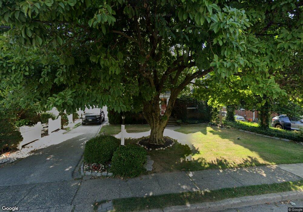
290 Crawford Ave Lansdowne, PA 19050
Estimated Value: $248,000 - $355,000
4
Beds
3
Baths
1,529
Sq Ft
$206/Sq Ft
Est. Value
About This Home
This home is located at 290 Crawford Ave, Lansdowne, PA 19050 and is currently estimated at $314,944, approximately $205 per square foot. 290 Crawford Ave is a home located in Delaware County with nearby schools including East Lansdowne Elementary School, Penn Wood Middle School, and Penn Wood High School - Cypress Street Campus.
Ownership History
Date
Name
Owned For
Owner Type
Purchase Details
Closed on
Aug 31, 1993
Sold by
Karpaty Arpad M and Karpaty Margaret F
Bought by
Cromity Steve and Cromity Pamela L
Current Estimated Value
Create a Home Valuation Report for This Property
The Home Valuation Report is an in-depth analysis detailing your home's value as well as a comparison with similar homes in the area
Home Values in the Area
Average Home Value in this Area
Purchase History
| Date | Buyer | Sale Price | Title Company |
|---|---|---|---|
| Cromity Steve | $121,000 | -- |
Source: Public Records
Tax History
| Year | Tax Paid | Tax Assessment Tax Assessment Total Assessment is a certain percentage of the fair market value that is determined by local assessors to be the total taxable value of land and additions on the property. | Land | Improvement |
|---|---|---|---|---|
| 2025 | $7,385 | $179,360 | $46,820 | $132,540 |
| 2024 | $7,385 | $179,360 | $46,820 | $132,540 |
| 2023 | $7,040 | $179,360 | $46,820 | $132,540 |
| 2022 | $6,902 | $179,360 | $46,820 | $132,540 |
| 2021 | $10,365 | $179,360 | $46,820 | $132,540 |
| 2020 | $7,060 | $107,650 | $33,820 | $73,830 |
| 2019 | $6,941 | $107,650 | $33,820 | $73,830 |
| 2018 | $6,822 | $107,650 | $0 | $0 |
| 2017 | $6,672 | $107,650 | $0 | $0 |
| 2016 | $591 | $107,650 | $0 | $0 |
| 2015 | $591 | $107,650 | $0 | $0 |
| 2014 | $591 | $107,650 | $0 | $0 |
Source: Public Records
Map
Nearby Homes
- 291 Jackson Ave
- 295 Braddock Ave
- 184 Midway Ave
- 291 N Wycombe Ave
- 210 Wabash Ave
- 327 Congress Ave
- 212 N Maple Ave
- 360 Huntley Rd
- 341 Congress Ave
- 7303 Sherbrook Blvd
- 54 Springton Rd
- 341 Wayne Ave
- 6 Drexel Ave
- 178 N Union Ave
- 91 Lamport Rd
- 2007 Greenhill Rd
- 40 Lamport Rd
- 7243 Calvin Rd
- 346 Wayne Ave
- 319 Avon Rd
- 294 Crawford Ave
- 286 Crawford Ave
- 293 Jackson Ave
- 298 Crawford Ave
- 295 Jackson Ave
- 291 Crawford Ave
- 287 Crawford Ave
- 295 Crawford Ave
- 299 Jackson Ave
- 111 E Plumstead Ave
- 107 E Plumstead Ave
- 117 E Plumstead Ave
- 99 E Plumstead Ave
- 112 E Marshall Rd
- 114 E Marshall Rd
- 110 E Marshall Rd
- 123 E Plumstead Ave
- 290 Jackson Ave
- 294 Jackson Ave
- 270 Cooper Ave
Your Personal Tour Guide
Ask me questions while you tour the home.