290 Dark Hollow Rd Confluence, PA 15424
Henry Clay Township NeighborhoodEstimated Value: $153,557 - $191,000
2
Beds
1
Bath
960
Sq Ft
$175/Sq Ft
Est. Value
About This Home
This home is located at 290 Dark Hollow Rd, Confluence, PA 15424 and is currently estimated at $168,139, approximately $175 per square foot. 290 Dark Hollow Rd is a home located in Fayette County with nearby schools including Uniontown Area Senior High School.
Ownership History
Date
Name
Owned For
Owner Type
Purchase Details
Closed on
Aug 19, 2022
Sold by
Niedzwecki Justin Adam
Bought by
Niedzwecki Justin Adam
Current Estimated Value
Purchase Details
Closed on
May 17, 2017
Sold by
Delansky Robert J and Delansky Tammy L
Bought by
Avolia Daniel
Purchase Details
Closed on
Apr 26, 2012
Sold by
Coury John R and Coury Carolyn
Bought by
Delansy Robert J and Delanksy Tammy L
Purchase Details
Closed on
Jan 22, 1987
Bought by
Niedzwecki Harry E and Niedzwecki Patricia A
Create a Home Valuation Report for This Property
The Home Valuation Report is an in-depth analysis detailing your home's value as well as a comparison with similar homes in the area
Home Values in the Area
Average Home Value in this Area
Purchase History
| Date | Buyer | Sale Price | Title Company |
|---|---|---|---|
| Niedzwecki Justin Adam | -- | -- | |
| Avolia Daniel | $1,500 | None Available | |
| Delansy Robert J | $500 | None Available | |
| Niedzwecki Harry E | $2,000 | -- |
Source: Public Records
Tax History Compared to Growth
Tax History
| Year | Tax Paid | Tax Assessment Tax Assessment Total Assessment is a certain percentage of the fair market value that is determined by local assessors to be the total taxable value of land and additions on the property. | Land | Improvement |
|---|---|---|---|---|
| 2025 | $910 | $35,575 | $9,660 | $25,915 |
| 2024 | $868 | $35,575 | $9,660 | $25,915 |
| 2023 | $1,736 | $35,575 | $9,660 | $25,915 |
| 2022 | $1,736 | $35,575 | $9,660 | $25,915 |
| 2021 | $1,736 | $35,575 | $9,660 | $25,915 |
| 2020 | $1,697 | $35,575 | $9,660 | $25,915 |
| 2019 | $1,558 | $35,575 | $9,660 | $25,915 |
| 2018 | $1,475 | $35,575 | $9,660 | $25,915 |
| 2017 | $1,475 | $35,575 | $9,660 | $25,915 |
| 2016 | -- | $35,575 | $9,660 | $25,915 |
| 2015 | -- | $35,575 | $9,660 | $25,915 |
| 2014 | -- | $71,150 | $19,320 | $51,830 |
Source: Public Records
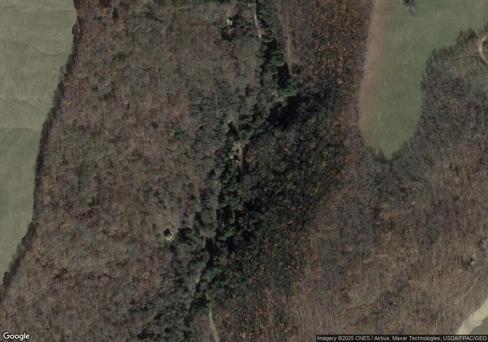
Map
Nearby Homes
- 309 Dark Hollow Rd
- 171 Mae Rd W
- 390 Tub Run Rd
- 750 Lake Side Rd
- 100 First Street Lot Unit WP001
- 100 First St
- 0 Walker Rd Unit 11505971
- 165 Magnolia Rd
- 230 Locust Rd
- 113 Cross St
- #5 & #7 Laurel Rd
- 000 National Pike
- 200 Brown Hill Rd
- 280 Main St
- 442 Bruceton Rd
- 0 Unit WP001
- 192 Wilkins Hollow Rd
- 734 Main St
- 4700 National Pike
- 338 RaMcAt Rd
- 282 Dark Hollow Rd
- 294 Dark Hollow Rd
- 298 Dark Hollow Rd
- 271 Dark Hollow Rd
- 264 Dark Hollow Rd
- 302 Dark Hollow Rd
- 295 Dark Hollow Rd
- 308 Dark Hollow Rd
- 272 Dark Hollow Rd
- 278 Dark Hollow Rd
- 301 Fearer Rd
- 225 Meyers Dr
- 219 Meyers Dr
- 215 Meyers Dr
- 140 Meyers Dr
- 251 Meyers Dr
- 169 Meyers Dr
- 224 Meyers Dr
- 230 Meyers Dr
- 312 Dark Hollow Rd