290 Englewood Rd Unit 2 Winder, GA 30680
Estimated Value: $402,000 - $563,000
3
Beds
2
Baths
2,012
Sq Ft
$233/Sq Ft
Est. Value
About This Home
This home is located at 290 Englewood Rd Unit 2, Winder, GA 30680 and is currently estimated at $468,968, approximately $233 per square foot. 290 Englewood Rd Unit 2 is a home located in Barrow County with nearby schools including Kennedy Elementary School, Westside Middle School, and Apalachee High School.
Ownership History
Date
Name
Owned For
Owner Type
Purchase Details
Closed on
Mar 30, 2016
Sold by
Moreno Karla P
Bought by
Lopez Uriel
Current Estimated Value
Purchase Details
Closed on
Sep 23, 2011
Sold by
The Bank Of New York Mello
Bought by
Lorenzo Uriel L and Moreno Karla P
Purchase Details
Closed on
Apr 5, 2011
Sold by
Mccartt Sherry Yvonne
Bought by
The Bank Of New York Mellon Fka The Ban
Purchase Details
Closed on
Apr 2, 2007
Sold by
Mccartt Dora C
Bought by
Mccartt Sherry Y
Purchase Details
Closed on
Jul 7, 2005
Sold by
Mccartt Sherry Y
Bought by
Mcgartt Dora C
Home Financials for this Owner
Home Financials are based on the most recent Mortgage that was taken out on this home.
Original Mortgage
$29,250
Interest Rate
5.08%
Mortgage Type
Stand Alone Refi Refinance Of Original Loan
Purchase Details
Closed on
Feb 16, 1999
Sold by
Guy Freddy Lynn
Bought by
Mccartt Sherry Yvonn
Create a Home Valuation Report for This Property
The Home Valuation Report is an in-depth analysis detailing your home's value as well as a comparison with similar homes in the area
Home Values in the Area
Average Home Value in this Area
Purchase History
| Date | Buyer | Sale Price | Title Company |
|---|---|---|---|
| Lopez Uriel | -- | -- | |
| Lorenzo Uriel L | $40,000 | -- | |
| The Bank Of New York Mellon Fka The Ban | $114,700 | -- | |
| Mccartt Sherry Y | -- | -- | |
| Mcgartt Dora C | $195,000 | -- | |
| Mccartt Sherry Yvonn | -- | -- |
Source: Public Records
Mortgage History
| Date | Status | Borrower | Loan Amount |
|---|---|---|---|
| Previous Owner | Mcgartt Dora C | $29,250 |
Source: Public Records
Tax History Compared to Growth
Tax History
| Year | Tax Paid | Tax Assessment Tax Assessment Total Assessment is a certain percentage of the fair market value that is determined by local assessors to be the total taxable value of land and additions on the property. | Land | Improvement |
|---|---|---|---|---|
| 2024 | $3,489 | $142,180 | $49,348 | $92,832 |
| 2023 | $3,469 | $142,180 | $49,348 | $92,832 |
| 2022 | $2,994 | $105,279 | $49,348 | $55,931 |
| 2021 | $2,739 | $90,772 | $39,478 | $51,294 |
| 2020 | $2,204 | $72,600 | $25,944 | $46,656 |
| 2019 | $2,244 | $72,600 | $25,944 | $46,656 |
| 2018 | $2,220 | $72,600 | $25,944 | $46,656 |
| 2017 | $1,909 | $65,562 | $25,944 | $39,618 |
| 2016 | $1,949 | $64,035 | $25,944 | $38,091 |
| 2015 | $1,972 | $64,474 | $25,944 | $38,530 |
| 2014 | $1,638 | $51,682 | $12,712 | $38,970 |
| 2013 | -- | $48,827 | $12,712 | $36,114 |
Source: Public Records
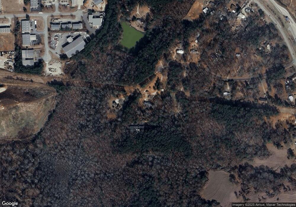
Map
Nearby Homes
- 1052 Carl-Bethlehem Rd
- 1120 Carl Bethlehem Rd
- 903 Kendall Park Dr
- 834 Kendall Park Dr Unit 1
- 0 Patrick Mill Rd SW Unit 10654215
- 0 Patrick Mill Rd SW Unit 7689708
- 784 Morris Ln
- 933 Kendall Park Dr
- 1411 Silvergate Way
- 721 Loblolly Ln
- 138 Livingston Ct
- 32 Livingston Ct
- 1237 Carl Bethlehem Rd
- 713 Carl Bethlehem Rd
- 572 Caseys Crossing
- 38 Holland Cove
- 37 Holland Cove
- 47 Holland Cove
- 50 Holland Cove
- 57 Holland Cove
- 278 Englewood Rd
- 298 Englewood Rd
- 930 Carl Bethlehem Rd
- 1024 Carl Bethlehem Rd
- 265 Englewood Rd
- 230 Englewood Rd
- 243 Englewood Rd SW
- 996 Carl Bethlehem Rd
- 224 Englewood Rd Unit 2/8
- 975 Patrick Industrial Ct
- 982 Carl Bethlehem Rd
- 978 Carl Bethlehem Rd
- 964 Carl Bethlehem Rd
- 944 Carl Bethlehem Rd
- 972 Carl-Bethlehem Rd
- 918 Carl Bethlehem Rd
- 326 Carl-Bethlehem Rd
- 445 Carl-Bethlehem Rd
- 00 Carl-Bethlehem Rd
- 910 Carl Bethlehem Rd