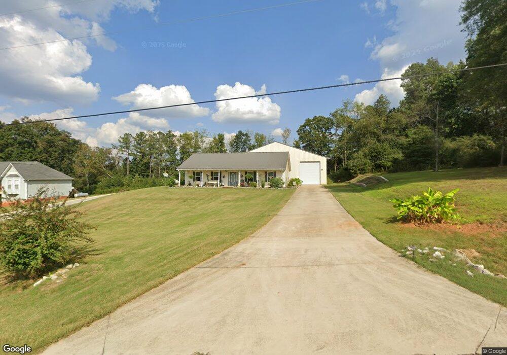
290 Gold Dust Trail Carrollton, GA 30117
Estimated Value: $282,941 - $339,000
3
Beds
2
Baths
1,400
Sq Ft
$229/Sq Ft
Est. Value
About This Home
This home is located at 290 Gold Dust Trail, Carrollton, GA 30117 and is currently estimated at $321,235, approximately $229 per square foot. 290 Gold Dust Trail is a home located in Carroll County with nearby schools including Roopville Elementary School, Central Middle School, and Central High School.
Ownership History
Date
Name
Owned For
Owner Type
Purchase Details
Closed on
Oct 15, 2021
Sold by
Phillips Susan J
Bought by
Phillips Susan J and Meade Cynthia L
Current Estimated Value
Purchase Details
Closed on
Sep 13, 2017
Sold by
Harrison Steven J
Bought by
Phillips Susan J and Meade Cynthia L
Purchase Details
Closed on
Apr 3, 1997
Sold by
Redbird Properties I
Bought by
Harrison Steven J
Purchase Details
Closed on
Sep 11, 1996
Sold by
Redbird Properties I
Bought by
Redbird Properties I
Purchase Details
Closed on
May 7, 1996
Sold by
Harrison Steven
Bought by
Redbird Properties I
Purchase Details
Closed on
Jul 22, 1992
Bought by
Harrison Steven
Create a Home Valuation Report for This Property
The Home Valuation Report is an in-depth analysis detailing your home's value as well as a comparison with similar homes in the area
Home Values in the Area
Average Home Value in this Area
Purchase History
| Date | Buyer | Sale Price | Title Company |
|---|---|---|---|
| Phillips Susan J | -- | -- | |
| Phillips Susan J | $12,500 | -- | |
| Harrison Steven J | -- | -- | |
| Redbird Properties I | $600 | -- | |
| Redbird Properties I | $600 | -- | |
| Harrison Steven | -- | -- |
Source: Public Records
Tax History Compared to Growth
Tax History
| Year | Tax Paid | Tax Assessment Tax Assessment Total Assessment is a certain percentage of the fair market value that is determined by local assessors to be the total taxable value of land and additions on the property. | Land | Improvement |
|---|---|---|---|---|
| 2024 | $348 | $103,669 | $12,420 | $91,249 |
| 2023 | $348 | $95,359 | $12,420 | $82,939 |
| 2022 | $415 | $78,951 | $12,420 | $66,531 |
| 2021 | $418 | $69,464 | $12,420 | $57,044 |
| 2020 | $419 | $62,686 | $12,420 | $50,266 |
| 2019 | $257 | $9,936 | $9,936 | $0 |
| 2018 | $131 | $9,936 | $9,936 | $0 |
| 2017 | $262 | $9,936 | $9,936 | $0 |
| 2016 | $223 | $9,936 | $9,936 | $0 |
| 2015 | $179 | $6,400 | $6,400 | $0 |
| 2014 | $180 | $6,400 | $6,400 | $0 |
Source: Public Records
Map
Nearby Homes
- 195 Gold Dust Trail
- 0 Bonner Goldmine Rd Unit 145631
- 0 Bonner Goldmine Rd Unit 10433818
- 191 Tumlin Creek Rd
- 915 Oak Grove Rd
- 0 Ringer Rd Unit 10595950
- 2492 Oak Grove Church Rd
- 1575 Bethesda Church Rd
- 1593 Bethesda Church Rd
- 0 Lowell Rd Unit 10640679
- 1611 Bethesda Church Rd
- 1629 Bethesda Church Rd
- 00 Ringer Rd
- 221 Valley Ridge Dr
- 0 Louise Ln Unit 10563364
- 450 Baxter Rd
- 484 Carrie Kathleen Terrace
- 2088 Star Point Rd
- 0 W Highway 5 Unit 10519663
- 472 Carrie Kathleen Terrace
- 270 Gold Dust Trail
- 310 Gold Dust Trail
- 260 Gold Dust Trail
- 320 Gold Dust Trail
- 250 Gold Dust Trail
- 330 Gold Dust Trail
- 240 Gold Dust Trail
- 335 Gold Dust Trail
- 230 Gold Dust Trail
- 195 Gold Dust Trail Unit 7
- 180 Gold Dust Trail
- 454 Nugget Rd
- 302 Nugget Rd
- 389 Nugget Rd
- 0 Gold Dust Trail Unit 7506973
- 0 Gold Dust Trail Unit 8291208
- 0 Gold Dust Trail Unit 8265134
- 0 Gold Dust Trail Unit 8620283
- 0 Gold Dust Trail Unit 2940355
- 0 Gold Dust Trail Unit 7576903