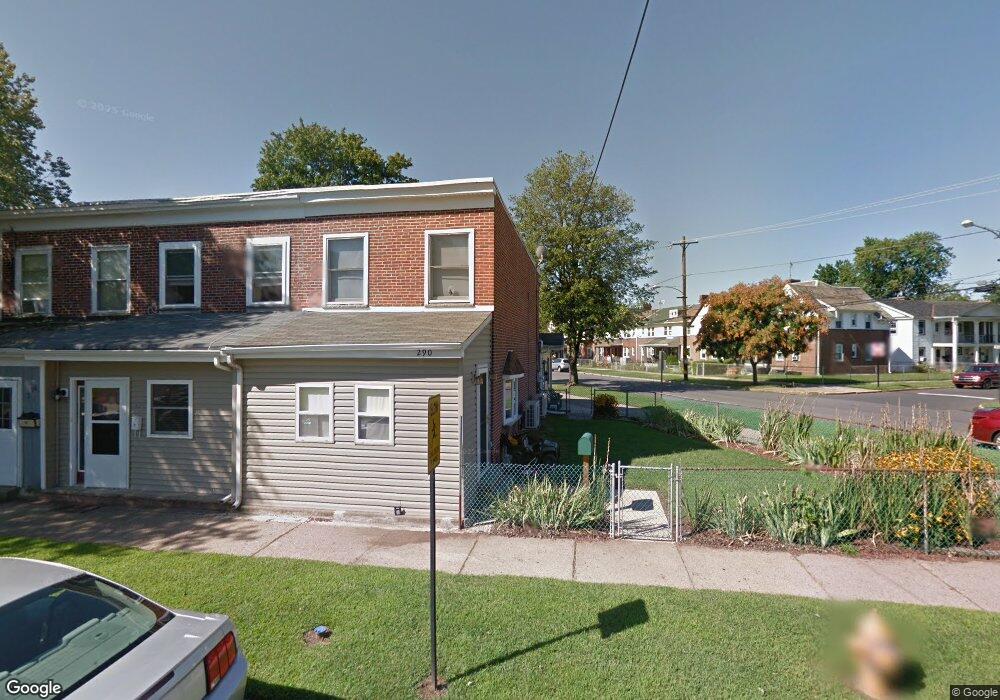
290 Hayes St Bristol, PA 19007
Estimated Value: $209,000 - $317,000
3
Beds
2
Baths
1,066
Sq Ft
$256/Sq Ft
Est. Value
About This Home
This home is located at 290 Hayes St, Bristol, PA 19007 and is currently estimated at $273,243, approximately $256 per square foot. 290 Hayes St is a home located in Bucks County with nearby schools including Snyder-Girotti Elementary School, Bristol High School, and First Presbyterian Church School.
Ownership History
Date
Name
Owned For
Owner Type
Purchase Details
Closed on
Mar 28, 1985
Sold by
Stutzman Robert F and Stutzman Martha
Bought by
Winter Gary A and Winter Carolyn S
Current Estimated Value
Create a Home Valuation Report for This Property
The Home Valuation Report is an in-depth analysis detailing your home's value as well as a comparison with similar homes in the area
Home Values in the Area
Average Home Value in this Area
Purchase History
| Date | Buyer | Sale Price | Title Company |
|---|---|---|---|
| Winter Gary A | $33,500 | -- |
Source: Public Records
Tax History Compared to Growth
Tax History
| Year | Tax Paid | Tax Assessment Tax Assessment Total Assessment is a certain percentage of the fair market value that is determined by local assessors to be the total taxable value of land and additions on the property. | Land | Improvement |
|---|---|---|---|---|
| 2025 | $3,632 | $15,600 | $3,960 | $11,640 |
| 2024 | $3,632 | $15,600 | $3,960 | $11,640 |
| 2023 | $3,601 | $15,600 | $3,960 | $11,640 |
| 2022 | $3,601 | $15,600 | $3,960 | $11,640 |
| 2021 | $3,601 | $15,600 | $3,960 | $11,640 |
| 2020 | $3,703 | $15,600 | $3,960 | $11,640 |
| 2019 | $3,687 | $15,600 | $3,960 | $11,640 |
| 2018 | $3,687 | $15,600 | $3,960 | $11,640 |
| 2017 | $3,667 | $15,600 | $3,960 | $11,640 |
| 2016 | $3,667 | $15,600 | $3,960 | $11,640 |
| 2015 | -- | $15,600 | $3,960 | $11,640 |
| 2014 | -- | $15,600 | $3,960 | $11,640 |
Source: Public Records
Map
Nearby Homes
- 221 Cleveland St
- 243 Monroe St
- 321 Taft St
- 314 Railroad Ave
- 61 Green Ln
- 2285 Seabird Dr Unit 14
- 16434 River View Cir
- 16442 River View Cir
- 16422 River View Cir
- 16352 River View Cir
- 16242 River View Cir
- 16344 River View Cir
- 16342 River View Cir
- 16322 River View Cir
- 16332 River View Cir
- 16131 River View Cir
- 16241 River View Cir
- 16232 River View Cir
- 16251 River View Cir
- 16453 River View Cir