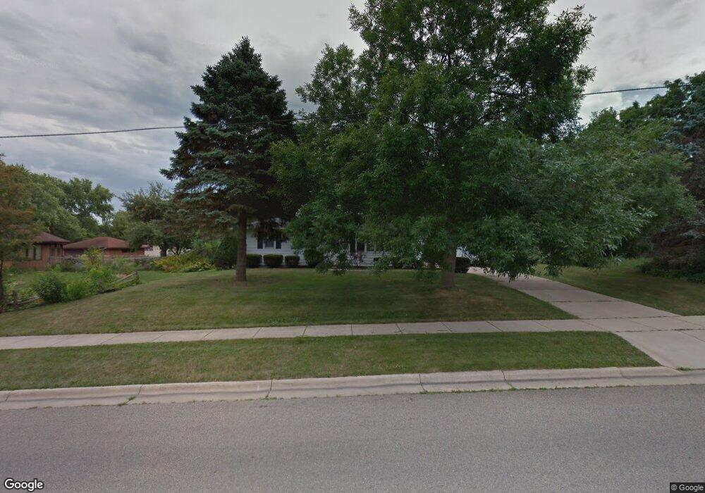
290 Kierstead Ln Oregon, WI 53575
Estimated Value: $333,466 - $378,000
3
Beds
1
Bath
1,040
Sq Ft
$342/Sq Ft
Est. Value
About This Home
This home is located at 290 Kierstead Ln, Oregon, WI 53575 and is currently estimated at $355,617, approximately $341 per square foot. 290 Kierstead Ln is a home located in Dane County with nearby schools including Rome Corners Intermediate School, Oregon Middle School, and Oregon High School.
Ownership History
Date
Name
Owned For
Owner Type
Purchase Details
Closed on
Jul 18, 2007
Sold by
Sacramento Erasmo
Bought by
Bakken David J
Current Estimated Value
Home Financials for this Owner
Home Financials are based on the most recent Mortgage that was taken out on this home.
Original Mortgage
$10,000
Outstanding Balance
$6,325
Interest Rate
6.73%
Mortgage Type
Unknown
Estimated Equity
$349,292
Create a Home Valuation Report for This Property
The Home Valuation Report is an in-depth analysis detailing your home's value as well as a comparison with similar homes in the area
Home Values in the Area
Average Home Value in this Area
Purchase History
| Date | Buyer | Sale Price | Title Company |
|---|---|---|---|
| Bakken David J | $167,000 | None Available |
Source: Public Records
Mortgage History
| Date | Status | Borrower | Loan Amount |
|---|---|---|---|
| Open | Bakken David J | $10,000 | |
| Open | Bakken David J | $161,500 |
Source: Public Records
Tax History
| Year | Tax Paid | Tax Assessment Tax Assessment Total Assessment is a certain percentage of the fair market value that is determined by local assessors to be the total taxable value of land and additions on the property. | Land | Improvement |
|---|---|---|---|---|
| 2023 | $4,362 | $285,500 | $54,600 | $230,900 |
| 2022 | $4,254 | $260,700 | $54,600 | $206,100 |
| 2021 | $3,855 | $232,200 | $54,600 | $177,600 |
| 2020 | $3,696 | $212,300 | $54,600 | $157,700 |
| 2019 | $3,520 | $203,900 | $54,600 | $149,300 |
| 2018 | $3,412 | $193,600 | $54,600 | $139,000 |
| 2017 | $3,392 | $185,800 | $54,600 | $131,200 |
| 2016 | $3,199 | $171,400 | $54,600 | $116,800 |
| 2015 | $3,095 | $163,600 | $54,600 | $109,000 |
| 2014 | -- | $157,100 | $54,600 | $102,500 |
| 2013 | $3,062 | $151,400 | $54,600 | $96,800 |
Source: Public Records
Map
Nearby Homes
- 507 Janesville St
- 473 Waterman Ct
- 270 Brook St
- 859 Park St Unit 101
- 411 Butternut Dr
- 308 Concord Dr Unit 8
- 1121 Union Rd
- 948 Timber Ridge Dr
- 924 Brynhill Dr
- 137 Lynne Trail
- 639 N Woods Edge Dr
- 558 Lexington Dr Unit 18
- 550 Lexington Dr Unit 14
- 498 Foxfield Rd
- 324 Alpine Meadow Cir
- 445 Foxfield Rd
- 495 Foxfield Rd
- 477 Foxfield Rd
- 852 Augusta Dr
- LOT 97 Foxfield Ct
- 280 Kierstead Ln
- 552 Janesville St
- 355 Sterling Dr
- 349 Sterling Dr
- 592 Janesville St
- 313 Sterling Dr
- 293 Kierstead Ln
- 260 Kierstead Ln
- 600 Janesville St
- 305 Sterling Dr
- 259 Kierstead Ln
- 524 Janesville St
- 283 Sterling Dr
- 250 Kierstead Ln
- 365 Sterling Dr
- 561 Janesville St
- 535 Janesville St
- 249 Kierstead Ln
- 575 Janesville St
- 523 Janesville St
Your Personal Tour Guide
Ask me questions while you tour the home.