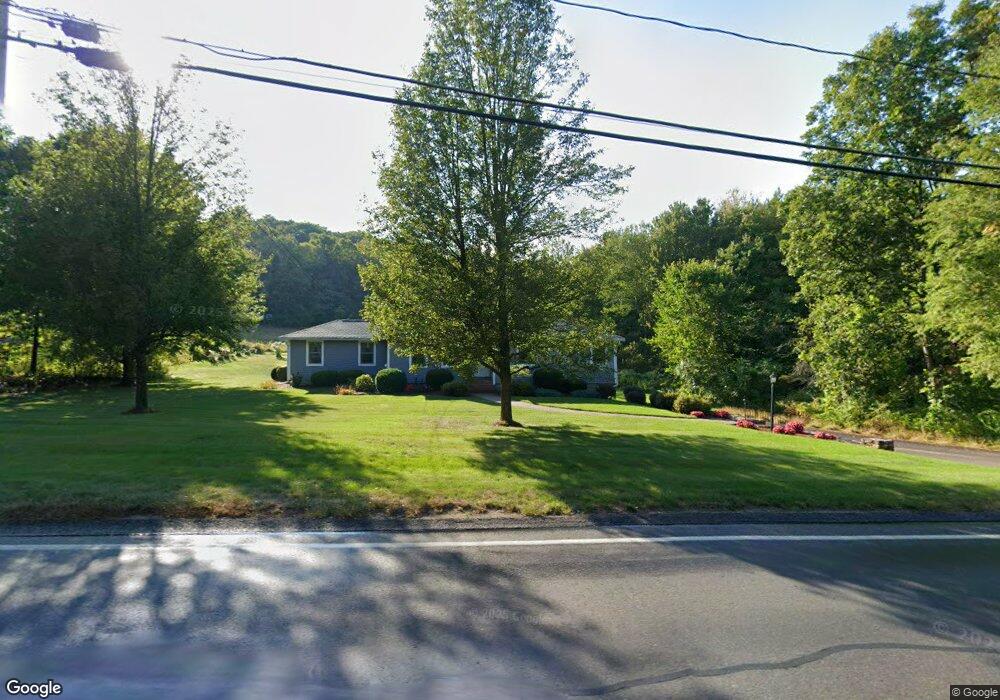
290 Leominster Rd Lunenburg, MA 01462
Estimated Value: $504,000 - $553,000
3
Beds
2
Baths
1,888
Sq Ft
$276/Sq Ft
Est. Value
About This Home
This home is located at 290 Leominster Rd, Lunenburg, MA 01462 and is currently estimated at $521,575, approximately $276 per square foot. 290 Leominster Rd is a home located in Worcester County with nearby schools including Lunenburg Primary School, Lunenburg High School, and St Bernards Elementary School.
Ownership History
Date
Name
Owned For
Owner Type
Purchase Details
Closed on
Oct 25, 2023
Sold by
Paton Kenneth P and Paton Darlene F
Bought by
Paton Ft and Ouellette
Current Estimated Value
Purchase Details
Closed on
Dec 28, 1983
Bought by
Paton Kenneth and Paton Darlene
Create a Home Valuation Report for This Property
The Home Valuation Report is an in-depth analysis detailing your home's value as well as a comparison with similar homes in the area
Home Values in the Area
Average Home Value in this Area
Purchase History
| Date | Buyer | Sale Price | Title Company |
|---|---|---|---|
| Paton Ft | -- | None Available | |
| Paton Kenneth | $74,900 | -- |
Source: Public Records
Mortgage History
| Date | Status | Borrower | Loan Amount |
|---|---|---|---|
| Previous Owner | Paton Kenneth | $50,000 | |
| Previous Owner | Paton Kenneth | $50,000 | |
| Previous Owner | Paton Kenneth | $25,000 | |
| Previous Owner | Paton Kenneth | $50,000 |
Source: Public Records
Tax History Compared to Growth
Tax History
| Year | Tax Paid | Tax Assessment Tax Assessment Total Assessment is a certain percentage of the fair market value that is determined by local assessors to be the total taxable value of land and additions on the property. | Land | Improvement |
|---|---|---|---|---|
| 2025 | $6,472 | $450,700 | $134,200 | $316,500 |
| 2024 | $6,102 | $432,800 | $126,700 | $306,100 |
| 2023 | $5,772 | $394,800 | $115,200 | $279,600 |
| 2022 | $5,461 | $317,700 | $96,000 | $221,700 |
| 2020 | $5,668 | $312,800 | $96,000 | $216,800 |
| 2019 | $5,378 | $287,900 | $90,500 | $197,400 |
| 2018 | $4,813 | $244,300 | $90,500 | $153,800 |
| 2017 | $4,611 | $230,800 | $83,500 | $147,300 |
| 2016 | $4,381 | $223,400 | $79,400 | $144,000 |
| 2015 | $3,946 | $215,400 | $75,300 | $140,100 |
Source: Public Records
Map
Nearby Homes
- 9 Fairview Rd
- 29 West St
- 200-365 Hollis Rd
- 31 School St
- 35 Leominster Rd
- 452 Hollis Rd
- 6 Riley Rd Unit 6
- 830 Massachusetts Ave
- 711 Massachusetts Ave Unit 2
- 3 Chase Ave
- 1479 Main St
- 70 Kilburn St
- 77 Electric Ave
- 44 Hamlin St
- 319 Highland St
- 63 Holman St
- 4 Lincoln St
- 313 Lincoln St
- 305 Pleasant St
- 828 Lancaster Ave
- 469 Sunnyhill Rd
- 289 Leominster Rd
- 459 Sunnyhill Rd
- 312 Leominster Rd
- 449 Sunnyhill Rd
- 449 Sunny Hill Rd
- 255 Leominster Rd
- 323 Leominster Rd Unit 323
- 323 Leominster Rd
- 323 Leominster Rd
- 245 Leominster Rd
- 241 Leominster Rd
- 334 Leominster Rd
- 313 Leominster Rd
- 365 Sunnyhill Rd
- 355 Sunnyhill Rd
- 235 Leominster Rd
- 255 Sunnyhill Rd
- 448 Sunnyhill Rd
- 355 Sunny Hill Rd