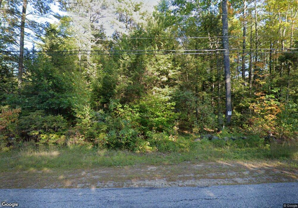
290 Little River Rd Berwick, ME 03901
Estimated Value: $262,000 - $425,375
1
Bed
1
Bath
1,008
Sq Ft
$358/Sq Ft
Est. Value
About This Home
This home is located at 290 Little River Rd, Berwick, ME 03901 and is currently estimated at $360,844, approximately $357 per square foot. 290 Little River Rd is a home located in York County with nearby schools including Noble High School.
Ownership History
Date
Name
Owned For
Owner Type
Purchase Details
Closed on
Mar 24, 2022
Sold by
Potter Diane J and Potter William H
Bought by
Pinsky Michael and Pinsky Roman
Current Estimated Value
Purchase Details
Closed on
Feb 27, 2019
Sold by
Kishimoto Matthew
Bought by
Potter William H and Potter Diane J
Home Financials for this Owner
Home Financials are based on the most recent Mortgage that was taken out on this home.
Original Mortgage
$80,000
Interest Rate
4.4%
Mortgage Type
New Conventional
Purchase Details
Closed on
May 26, 2015
Sold by
Bisson Claire M
Bought by
Federal National Mortgage Association
Create a Home Valuation Report for This Property
The Home Valuation Report is an in-depth analysis detailing your home's value as well as a comparison with similar homes in the area
Home Values in the Area
Average Home Value in this Area
Purchase History
| Date | Buyer | Sale Price | Title Company |
|---|---|---|---|
| Pinsky Michael | $100,000 | None Available | |
| Potter William H | -- | -- | |
| Federal National Mortgage Association | -- | -- |
Source: Public Records
Mortgage History
| Date | Status | Borrower | Loan Amount |
|---|---|---|---|
| Previous Owner | Potter William H | $80,000 |
Source: Public Records
Tax History Compared to Growth
Tax History
| Year | Tax Paid | Tax Assessment Tax Assessment Total Assessment is a certain percentage of the fair market value that is determined by local assessors to be the total taxable value of land and additions on the property. | Land | Improvement |
|---|---|---|---|---|
| 2024 | $3,781 | $303,200 | $125,100 | $178,100 |
| 2023 | $3,477 | $189,800 | $86,700 | $103,100 |
| 2022 | $3,458 | $189,800 | $86,700 | $103,100 |
| 2021 | $3,720 | $203,300 | $100,200 | $103,100 |
| 2020 | $3,564 | $203,300 | $100,200 | $103,100 |
| 2019 | $3,564 | $203,300 | $100,200 | $103,100 |
| 2018 | $3,447 | $201,000 | $98,800 | $102,200 |
| 2017 | $3,447 | $201,000 | $98,800 | $102,200 |
| 2016 | $3,296 | $202,200 | $98,800 | $103,400 |
| 2014 | $3,056 | $192,200 | $88,800 | $103,400 |
| 2013 | -- | $192,200 | $88,800 | $103,400 |
Source: Public Records
Map
Nearby Homes
- TBD Long Swamp Rd
- 128 Long Swamp Rd
- 309 Long Swamp Rd
- 21 Johnny Ln
- 248 Lord Rd
- 2 Rizzo Rd
- 5 Deer Trail Ln
- 47C Spirit Wind Farm Rd
- 690 Lebanon Rd
- 0 Old Ledge Rd
- 12C Thompson Hill Rd
- 13 Tomahawk Ln
- 214 Center Rd
- 8 Rogers Way
- 20 Old Sanford Rd
- 605 Lower Guinea Rd
- 564 Upper Guinea Rd
- 17 Blue Rose Ln
- 37 W Lebanon Rd
- MR7L96C Scarlet Way
- 00 Little River Rd
- Lot 11 Little River Rd
- 305 Little River Rd
- TBD Little River Rd
- 308 Little River Rd
- 0 Little River Rd-Lot#3
- 0 Little River
- 287 Little River Rd
- 316 Little River Rd
- 3.48 Acres Little River Rd
- 321 Little River Rd
- 275 Little River Rd
- 267 Little River Rd
- 285 Little River Rd
- Lot B Little River Rd
- 330 Little River
- 269 Little River Rd
- 49.5 Acres Little River Rd
- Lot 2 Little River Rd
- 0 Little River Rd
