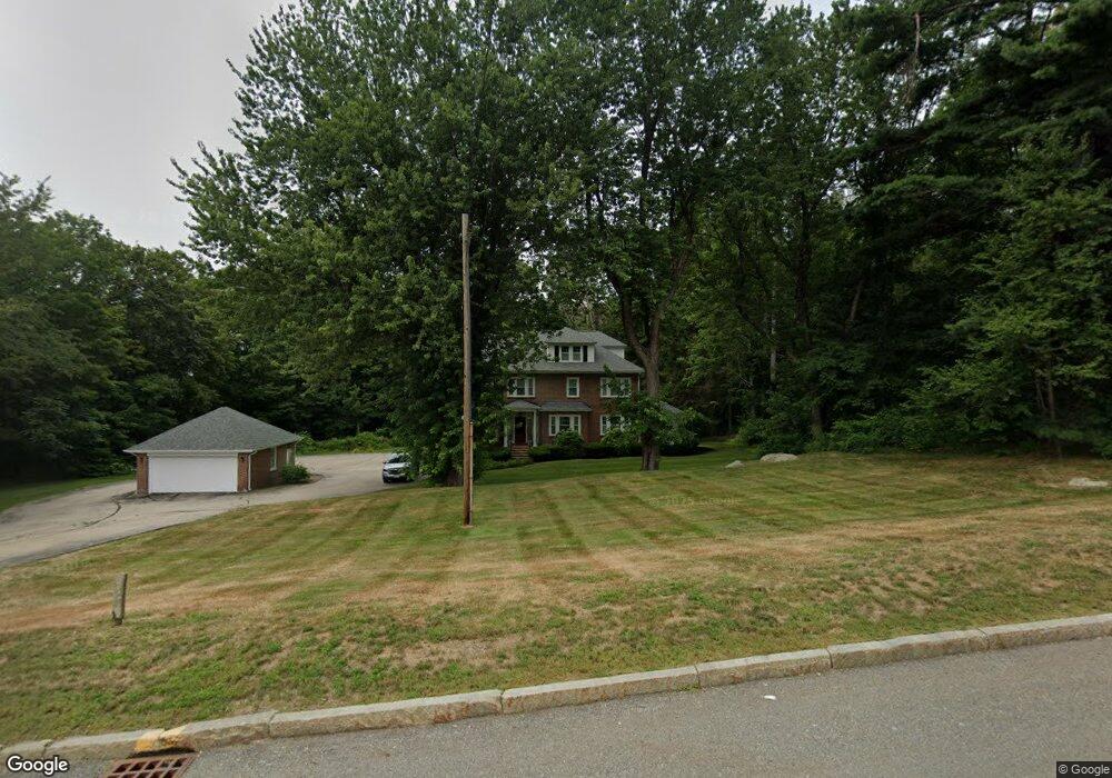
290 Main St Rutland, MA 01543
Estimated Value: $574,000
8
Beds
5
Baths
4,104
Sq Ft
$140/Sq Ft
Est. Value
About This Home
This home is located at 290 Main St, Rutland, MA 01543 and is currently priced at $574,000, approximately $139 per square foot. 290 Main St is a home located in Worcester County with nearby schools including Wachusett Regional High School.
Create a Home Valuation Report for This Property
The Home Valuation Report is an in-depth analysis detailing your home's value as well as a comparison with similar homes in the area
Home Values in the Area
Average Home Value in this Area
Tax History Compared to Growth
Tax History
| Year | Tax Paid | Tax Assessment Tax Assessment Total Assessment is a certain percentage of the fair market value that is determined by local assessors to be the total taxable value of land and additions on the property. | Land | Improvement |
|---|---|---|---|---|
| 2025 | -- | $552,400 | $137,500 | $414,900 |
| 2024 | -- | $513,600 | $131,000 | $382,600 |
| 2023 | $0 | $522,100 | $125,700 | $396,400 |
| 2022 | $0 | $431,700 | $112,000 | $319,700 |
| 2021 | $0 | $404,100 | $112,000 | $292,100 |
| 2020 | $0 | $380,800 | $108,200 | $272,600 |
| 2019 | $0 | $376,100 | $104,800 | $271,300 |
| 2018 | $0 | $323,000 | $104,800 | $218,200 |
| 2017 | $0 | $323,100 | $104,800 | $218,300 |
| 2016 | -- | $364,800 | $101,500 | $263,300 |
| 2015 | -- | $354,900 | $101,500 | $253,400 |
| 2014 | -- | $354,900 | $101,500 | $253,400 |
Source: Public Records
Map
Nearby Homes
- 10 Soucy Dr
- 32 Pommogussett Rd Unit 1
- 28 Forest Hill Dr
- 5 Miles Rd
- 6 Lewis St
- 12 Lewis St
- 11 Lewis St
- 21 Lewis St
- 2 Forest Hill Dr
- 12 Fidelity Dr Unit 6
- 10 Fidelity Dr Unit 5
- 55 Pommogussett Rd
- 132 Fidelity Dr Unit 61
- 27 Lewis St
- 85 Maple Ave Unit A
- 25 Watson Ln
- 21 Highland Park Rd
- 47 Woodside Ave
- Lot 24R Quail Run
- Lot 29 Quail Run