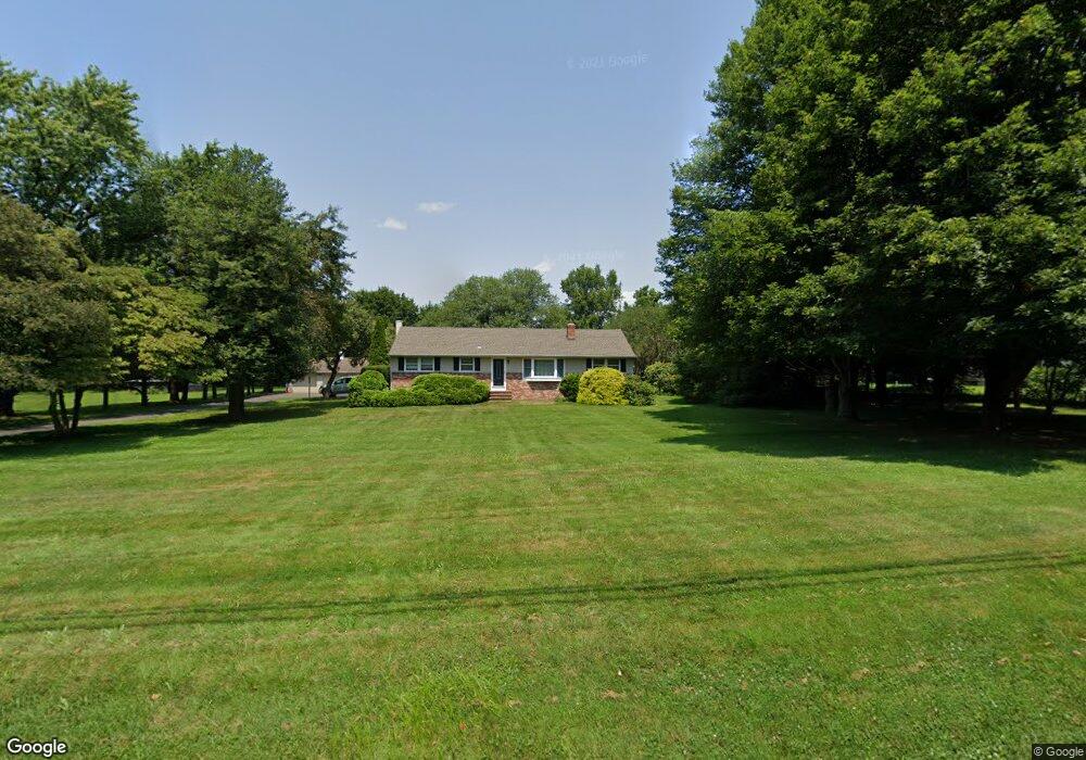
290 Mansfield Rd E Columbus, NJ 08022
Estimated Value: $285,000 - $490,708
Studio
--
Bath
1,296
Sq Ft
$322/Sq Ft
Est. Value
About This Home
This home is located at 290 Mansfield Rd E, Columbus, NJ 08022 and is currently estimated at $417,427, approximately $322 per square foot. 290 Mansfield Rd E is a home located in Burlington County with nearby schools including John Hydock Elementary School, Mansfield Township Elementary School, and Northern Burlington County Regional Middle School.
Ownership History
Date
Name
Owned For
Owner Type
Purchase Details
Closed on
Jan 10, 2003
Sold by
Butler Lewis A and Butler Jean H
Bought by
Jobes James R
Current Estimated Value
Home Financials for this Owner
Home Financials are based on the most recent Mortgage that was taken out on this home.
Original Mortgage
$178,800
Outstanding Balance
$76,778
Interest Rate
6.11%
Estimated Equity
$340,649
Create a Home Valuation Report for This Property
The Home Valuation Report is an in-depth analysis detailing your home's value as well as a comparison with similar homes in the area
Home Values in the Area
Average Home Value in this Area
Purchase History
| Date | Buyer | Sale Price | Title Company |
|---|---|---|---|
| Jobes James R | $223,500 | Infinity Title Agency Inc |
Source: Public Records
Mortgage History
| Date | Status | Borrower | Loan Amount |
|---|---|---|---|
| Open | Jobes James R | $178,800 |
Source: Public Records
Tax History
| Year | Tax Paid | Tax Assessment Tax Assessment Total Assessment is a certain percentage of the fair market value that is determined by local assessors to be the total taxable value of land and additions on the property. | Land | Improvement |
|---|---|---|---|---|
| 2025 | $8,203 | $252,800 | $147,600 | $105,200 |
| 2024 | $8,262 | $252,800 | $147,600 | $105,200 |
| 2023 | $8,262 | $252,800 | $147,600 | $105,200 |
| 2022 | $8,345 | $252,800 | $147,600 | $105,200 |
| 2021 | $7,431 | $252,800 | $147,600 | $105,200 |
| 2020 | $8,428 | $252,800 | $147,600 | $105,200 |
| 2019 | $8,221 | $252,800 | $147,600 | $105,200 |
| 2018 | $7,882 | $252,800 | $147,600 | $105,200 |
| 2017 | $7,877 | $252,800 | $147,600 | $105,200 |
| 2016 | $7,882 | $252,800 | $147,600 | $105,200 |
| 2015 | $7,801 | $252,800 | $147,600 | $105,200 |
| 2014 | $7,478 | $252,800 | $147,600 | $105,200 |
Source: Public Records
Map
Nearby Homes
- 17 Belmont Cir
- 31 Harrington Dr
- 17 Barbary Ln
- 3 Jasper Dr
- 4 Ellington Dr
- 707 Route 68
- 10 Hemingway Ln
- 1200 New York Ave
- 89 Chamber Ln
- 145 White Pine Rd
- 350 New York Ave
- 0 Bordentown Georgetown Rd
- 199 Bordentown Georgetown Rd
- 24381 W Main St
- 27058 Mount Pleasant Rd
- 139 Bordentown Georgetown Rd
- 36 White Pine Rd
- 108 Bordentown Georgetown Rd
- 15 Wyndham Ct
- 4 Kentwood Ct
- 280 Mansfield Rd E
- 679 Island Rd
- 268 Mansfield Rd E
- 715 N Island Rd
- 287 Mansfield Rd E
- 675 Island Rd
- 671 Island Rd
- 663 Island Rd
- 330 Mansfield Rd E
- 659 Island Rd
- 109 Mansfield Rd E
- 683 Island Rd
- 655 Island Rd
- 12 Belmont Cir
- 4 Pedersen Ct
- 2 Pedersen Ct
- 5 Pedersen Ct
- 352 Mansfield Rd E
- 14 Belmont Cir
- 16 Belmont Cir
Your Personal Tour Guide
Ask me questions while you tour the home.