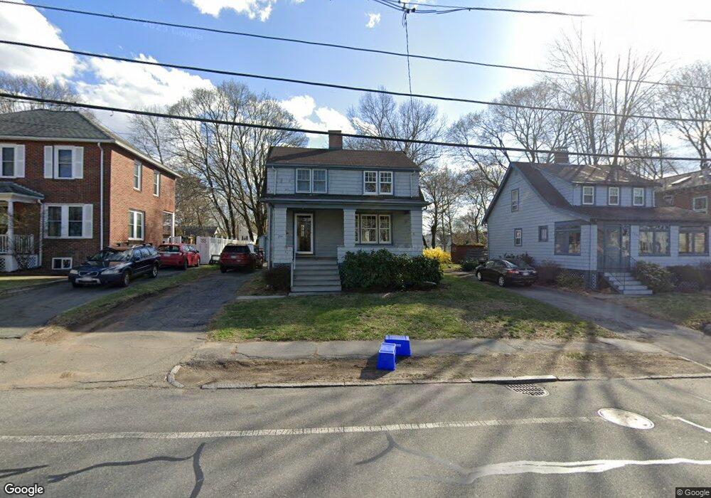
290 Marrett Rd Lexington, MA 02421
Follen Heights NeighborhoodEstimated Value: $922,367 - $1,247,000
3
Beds
1
Bath
1,248
Sq Ft
$847/Sq Ft
Est. Value
About This Home
This home is located at 290 Marrett Rd, Lexington, MA 02421 and is currently estimated at $1,057,592, approximately $847 per square foot. 290 Marrett Rd is a home located in Middlesex County with nearby schools including Bridge Elementary School, Jonas Clarke Middle School, and Lexington High School.
Ownership History
Date
Name
Owned For
Owner Type
Purchase Details
Closed on
Jul 15, 1996
Sold by
Hitt Lorin M and Hitt Jennifer C
Bought by
Alevy Adam M and Alevy Deborah A
Current Estimated Value
Purchase Details
Closed on
Jun 25, 1992
Sold by
Oconnor James R and Oconnor Barbara
Bought by
Hitt Lorin M and Hitt Jennifer C
Create a Home Valuation Report for This Property
The Home Valuation Report is an in-depth analysis detailing your home's value as well as a comparison with similar homes in the area
Home Values in the Area
Average Home Value in this Area
Purchase History
| Date | Buyer | Sale Price | Title Company |
|---|---|---|---|
| Alevy Adam M | $222,000 | -- | |
| Hitt Lorin M | $164,000 | -- |
Source: Public Records
Mortgage History
| Date | Status | Borrower | Loan Amount |
|---|---|---|---|
| Open | Hitt Lorin M | $307,000 | |
| Closed | Hitt Lorin M | $326,000 | |
| Closed | Hitt Lorin M | $328,000 |
Source: Public Records
Tax History Compared to Growth
Tax History
| Year | Tax Paid | Tax Assessment Tax Assessment Total Assessment is a certain percentage of the fair market value that is determined by local assessors to be the total taxable value of land and additions on the property. | Land | Improvement |
|---|---|---|---|---|
| 2025 | $9,760 | $798,000 | $545,000 | $253,000 |
| 2024 | $9,212 | $752,000 | $519,000 | $233,000 |
| 2023 | $8,983 | $691,000 | $472,000 | $219,000 |
| 2022 | $9,080 | $658,000 | $429,000 | $229,000 |
| 2021 | $9,008 | $626,000 | $408,000 | $218,000 |
| 2020 | $8,711 | $620,000 | $408,000 | $212,000 |
| 2019 | $5,728 | $592,000 | $389,000 | $203,000 |
| 2018 | $5,587 | $537,000 | $355,000 | $182,000 |
| 2017 | $7,404 | $511,000 | $345,000 | $166,000 |
| 2016 | $7,110 | $487,000 | $325,000 | $162,000 |
| 2015 | $6,776 | $456,000 | $296,000 | $160,000 |
| 2014 | $6,576 | $424,000 | $280,000 | $144,000 |
Source: Public Records
Map
Nearby Homes
- 42 Grapevine Ave
- 21 Valleyfield St
- 69 Bridge St
- 17 Prospect Hill Rd
- 375 Marrett Rd
- 20 Loring Rd
- 383 Marrett Rd
- 70 Valleyfield St
- 2 Marlboro Rd
- 48 Sherburne Rd
- 42 Winthrop Rd
- 34 Allen St
- 1 Tricorne Rd
- 32 Forest St
- 10 Eliot Rd
- 143 Lincoln St
- 1 Beech Tree Ln
- 2 Percy Rd
- 1437 Massachusetts Ave
- 10 Idylwilde Rd
- 292 Marrett Rd
- 288 Marrett Rd
- 294 Marrett Rd
- 286 Marrett Rd
- 18 Farmcrest Ave
- 16 Farmcrest Ave
- 24 Farmcrest Ave
- 298 Marrett Rd
- 291 Marrett Rd
- 282 Marrett Rd
- 293 Marrett Rd
- 289 Marrett Rd
- 12 Farmcrest Ave
- 26 Farmcrest Ave
- 295 Marrett Rd
- 287 Marrett Rd
- 299 Marrett Rd
- 299 Marrett Rd Unit 1
- 10 Farmcrest Ave
- 283 Marrett Rd