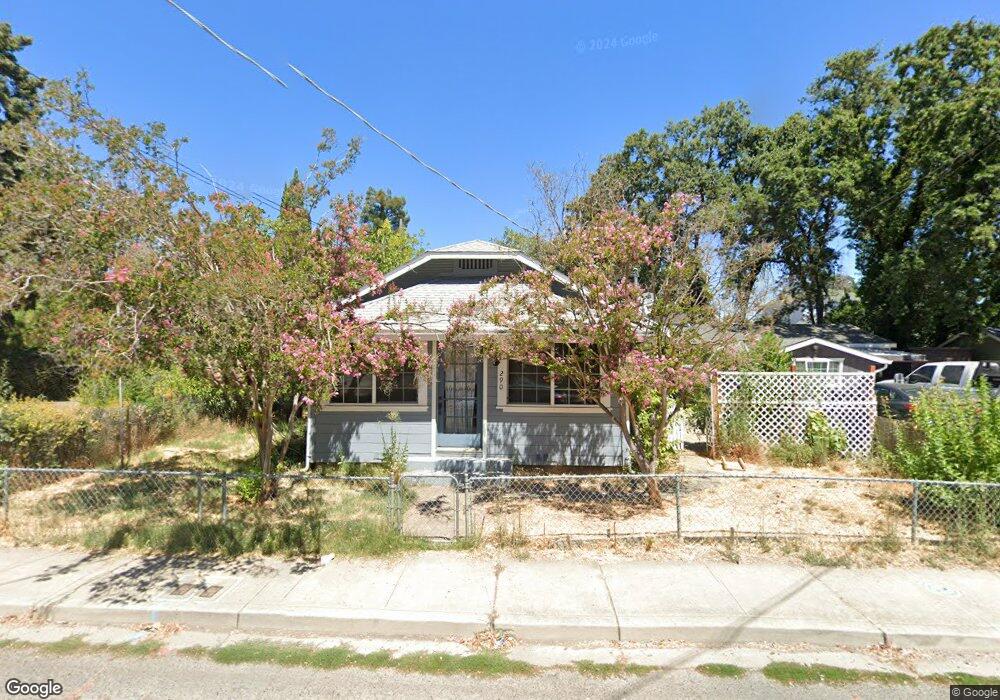
290 Martin St Lakeport, CA 95453
Estimated Value: $153,258 - $278,000
2
Beds
1
Bath
728
Sq Ft
$299/Sq Ft
Est. Value
About This Home
This home is located at 290 Martin St, Lakeport, CA 95453 and is currently estimated at $217,565, approximately $298 per square foot. 290 Martin St is a home located in Lake County with nearby schools including Lakeport Elementary School, Terrace Middle School, and Clear Lake High School.
Ownership History
Date
Name
Owned For
Owner Type
Purchase Details
Closed on
Nov 29, 2011
Sold by
Theis Patty K
Bought by
Theis Patty K and Theis Shane Parker
Current Estimated Value
Purchase Details
Closed on
Jun 22, 2011
Sold by
Theis Patty K
Bought by
Theis Patty K
Home Financials for this Owner
Home Financials are based on the most recent Mortgage that was taken out on this home.
Original Mortgage
$17,122
Interest Rate
4.54%
Mortgage Type
Stand Alone Refi Refinance Of Original Loan
Purchase Details
Closed on
May 20, 2009
Sold by
Theis Gregg Emil
Bought by
Theis Patty K
Create a Home Valuation Report for This Property
The Home Valuation Report is an in-depth analysis detailing your home's value as well as a comparison with similar homes in the area
Home Values in the Area
Average Home Value in this Area
Purchase History
We collect this data history from publicly available records. To have your information removed, we recommend requesting removal directly through your county’s website.
| Date | Buyer | Sale Price | Title Company |
|---|---|---|---|
| Theis Patty K | -- | None Available | |
| Theis Patty K | -- | Fidelity Natl Title Co Of Ca | |
| Theis Patty K | -- | None Available |
Source: Public Records
Mortgage History
We collect this data history from publicly available records. To have your information removed, we recommend requesting removal directly through your county’s website.
| Date | Status | Borrower | Loan Amount |
|---|---|---|---|
| Closed | Theis Patty K | $17,122 |
Source: Public Records
Tax History
| Year | Tax Paid | Tax Assessment Tax Assessment Total Assessment is a certain percentage of the fair market value that is determined by local assessors to be the total taxable value of land and additions on the property. | Land | Improvement |
|---|---|---|---|---|
| 2025 | $985 | $66,389 | $24,597 | $41,792 |
| 2024 | $961 | $65,088 | $24,115 | $40,973 |
| 2023 | $941 | $63,813 | $23,643 | $40,170 |
| 2022 | $920 | $62,563 | $23,180 | $39,383 |
| 2021 | $910 | $61,337 | $22,726 | $38,611 |
| 2020 | $886 | $60,709 | $22,493 | $38,216 |
| 2019 | $883 | $59,519 | $22,052 | $37,467 |
| 2018 | $737 | $58,353 | $21,620 | $36,733 |
| 2017 | $653 | $57,210 | $21,197 | $36,013 |
| 2016 | $622 | $56,089 | $20,782 | $35,307 |
| 2015 | $614 | $55,247 | $20,470 | $34,777 |
| 2014 | $572 | $54,166 | $20,070 | $34,096 |
Source: Public Records
Map
Nearby Homes
- 325 S Forbes St
- 320 Armstrong St
- 130 Armstrong St
- 490 Martin St
- 355 1st St
- 560 1st St
- 50 E St
- 677 Armstrong St
- 225 N Tunis St
- 360 3rd St
- 302 N Main St
- 220 4th St
- 455 N Forbes St
- 1025 Martin St Unit 2
- 1025 Martin St Unit 10
- 1025 Martin St Unit 20
- 1025 Martin St Unit 13
- 70 Lupoyoma Ave
- 110 S Russell St
- 1025 Armstrong St
- 260 Martin St
- 250 S High St
- 230 Martin St
- 301 S Forbes St
- 235 S High St
- 295 S High St
- 202 Martin St
- 215 Armstrong St
- 390 Martin St
- 385 Armstrong St
- 290 Armstrong St
- 175 Armstrong St
- 302 Armstrong St
- 385 S Forbes St
- 167 S Forbes St
- 155 Armstrong St
- 155 Armstrong St
- 350 S Forbes St
- 420 Martin St
- 401 Armstrong St
Your Personal Tour Guide
Ask me questions while you tour the home.