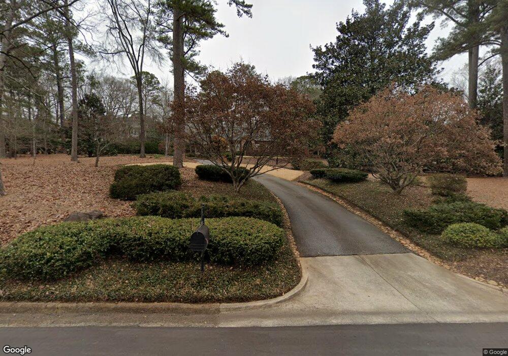
290 Mcwhorter Dr Athens, GA 30606
Five Points NeighborhoodEstimated Value: $1,093,000 - $1,386,000
--
Bed
1
Bath
3,964
Sq Ft
$317/Sq Ft
Est. Value
About This Home
This home is located at 290 Mcwhorter Dr, Athens, GA 30606 and is currently estimated at $1,257,650, approximately $317 per square foot. 290 Mcwhorter Dr is a home located in Clarke County with nearby schools including Barrow Elementary School, Clarke Middle School, and Clarke Central High School.
Ownership History
Date
Name
Owned For
Owner Type
Purchase Details
Closed on
Mar 12, 2002
Sold by
Spurgeon Edward D and Spurgeon Carol J
Bought by
Mcdonald Harry T and Mary Ellen M
Current Estimated Value
Purchase Details
Closed on
Jan 26, 1994
Sold by
Spurgeon Edward D and Spurgeon Carol J
Bought by
Spurgeon Edward D and Spurgeo Carol J
Purchase Details
Closed on
Dec 1, 1993
Sold by
Parker Nathaniel E and Parker Agnes
Bought by
Spurgeon Edward D and Spurgeo Carol J
Create a Home Valuation Report for This Property
The Home Valuation Report is an in-depth analysis detailing your home's value as well as a comparison with similar homes in the area
Home Values in the Area
Average Home Value in this Area
Purchase History
| Date | Buyer | Sale Price | Title Company |
|---|---|---|---|
| Mcdonald Harry T | $410,000 | -- | |
| Spurgeon Edward D | -- | -- | |
| Spurgeon Edward D | $289,000 | -- |
Source: Public Records
Tax History Compared to Growth
Tax History
| Year | Tax Paid | Tax Assessment Tax Assessment Total Assessment is a certain percentage of the fair market value that is determined by local assessors to be the total taxable value of land and additions on the property. | Land | Improvement |
|---|---|---|---|---|
| 2025 | $16,932 | $574,902 | $108,000 | $466,902 |
| 2024 | $16,932 | $540,219 | $99,900 | $440,319 |
| 2023 | $16,383 | $538,707 | $99,900 | $438,807 |
| 2022 | $14,081 | $451,403 | $94,500 | $356,903 |
| 2021 | $12,776 | $389,098 | $94,500 | $294,598 |
| 2020 | $11,984 | $365,619 | $94,500 | $271,119 |
| 2019 | $11,684 | $354,163 | $94,500 | $259,663 |
| 2018 | $9,943 | $302,870 | $94,500 | $208,370 |
| 2017 | $0 | $282,904 | $94,500 | $188,404 |
| 2016 | $8,669 | $265,347 | $94,500 | $170,847 |
| 2015 | $7,954 | $243,924 | $81,000 | $162,924 |
| 2014 | $7,499 | $230,204 | $72,900 | $157,304 |
Source: Public Records
Map
Nearby Homes
- 490 Mcwhorter Dr
- 169 Fortson Cir
- 590 Highland Ave
- 577 W Cloverhurst Ave
- 495 Woodlawn Ave
- 224 Fortson Dr
- 206 Fortson Dr
- 1055 Baxter St Unit 504
- 175 Tillman Ln
- 338 Springdale St
- 589 W Lake Dr
- 265 Springdale St
- 104 W Lake Ct
- 997 S Milledge Ave Unit 2
- 997 S Milledge Ave Unit 3
- 997 S Milledge Ave Unit 1
- 997 S Milledge Ave Unit 4
- 164 Plum Nelly Rd
- 275 Westview Dr
- 105 Magnolia Terrace
- 0 Bobbin Mill Rd Unit 7392884
- 0 Bobbin Mill Rd Unit 7309498
- 0 Bobbin Mill Rd Unit 8528841
- 0 Bobbin Mill Rd Unit 8227945
- 0 Bobbin Mill Rd Unit 8725805
- 0 Bobbin Mill Rd Unit 7101613
- 284 Mcwhorter Dr
- 810 Bobbin Mill Rd
- 310 Mcwhorter Dr
- 293 Mcwhorter Dr
- 800 Bobbin Mill Rd
- 320 Mcwhorter Dr
- 820 Bobbin Mill Rd
- 836 Bobbin Mill Rd
- 250 Mcwhorter Dr
- 330 Mcwhorter Dr
- 823 Bobbin Mill Rd
- 840 Bobbin Mill Rd Unit ID1302846P
- 840 Bobbin Mill Rd Unit ID1302856P
- 840 Bobbin Mill Rd Unit ID1302841P