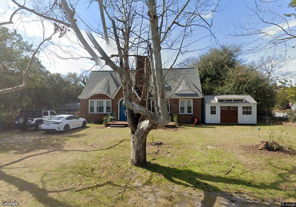
290 N Bartow Ave Swansea, SC 29160
Estimated Value: $168,000 - $219,000
3
Beds
2
Baths
2,544
Sq Ft
$79/Sq Ft
Est. Value
About This Home
This home is located at 290 N Bartow Ave, Swansea, SC 29160 and is currently estimated at $200,664, approximately $78 per square foot. 290 N Bartow Ave is a home located in Lexington County with nearby schools including Sandhills Primary School, Sandhills Elementary School, and Swansea High Freshman Academy.
Ownership History
Date
Name
Owned For
Owner Type
Purchase Details
Closed on
Jun 2, 2021
Sold by
Wallach Susan Levi
Bought by
Mingie Scott A and Mingie Amanda C
Current Estimated Value
Home Financials for this Owner
Home Financials are based on the most recent Mortgage that was taken out on this home.
Original Mortgage
$130,000
Outstanding Balance
$117,699
Interest Rate
2.9%
Mortgage Type
VA
Estimated Equity
$82,965
Purchase Details
Closed on
Jun 4, 2019
Sold by
Lee Barbara and Lee Lori
Bought by
Wallach Susan Levi
Purchase Details
Closed on
Dec 29, 2005
Sold by
Lee Lori
Bought by
Lee Barbara and Lee Janice
Create a Home Valuation Report for This Property
The Home Valuation Report is an in-depth analysis detailing your home's value as well as a comparison with similar homes in the area
Home Values in the Area
Average Home Value in this Area
Purchase History
| Date | Buyer | Sale Price | Title Company |
|---|---|---|---|
| Mingie Scott A | $130,000 | None Available | |
| Wallach Susan Levi | $30,000 | None Available | |
| Lee Barbara | -- | None Available |
Source: Public Records
Mortgage History
| Date | Status | Borrower | Loan Amount |
|---|---|---|---|
| Open | Mingie Scott A | $130,000 |
Source: Public Records
Tax History Compared to Growth
Tax History
| Year | Tax Paid | Tax Assessment Tax Assessment Total Assessment is a certain percentage of the fair market value that is determined by local assessors to be the total taxable value of land and additions on the property. | Land | Improvement |
|---|---|---|---|---|
| 2024 | -- | $5,200 | $400 | $4,800 |
| 2023 | -- | $5,200 | $400 | $4,800 |
| 2022 | $954 | $5,200 | $400 | $4,800 |
| 2020 | $954 | $1,680 | $600 | $1,080 |
| 2019 | $2,727 | $4,783 | $720 | $4,063 |
| 2018 | $2,718 | $4,783 | $720 | $4,063 |
| 2017 | $2,684 | $4,783 | $720 | $4,063 |
| 2016 | $127 | $3,188 | $480 | $2,708 |
| 2014 | $286 | $3,740 | $480 | $3,260 |
| 2013 | -- | $3,740 | $480 | $3,260 |
Source: Public Records
Map
Nearby Homes
- 200 N Lawrence Ave
- 0 Faith Church Rd
- 546 Huckabee Mill Rd
- Tract 4 6th St
- 1934 Southbound Rd
- 1029 Savannah Hwy
- 128 Graceland Ct
- 1740 Southbound Rd
- 274 Swansea Rd
- 284 Swansea Rd
- TBD Swansea Rd Unit tract a
- TBD Swansea Rd Unit Tract b
- 808 Highway 6 Hwy
- 219 Woodland Dr
- TBD Horses Neck Road Lot 2 Rd
- 1040 Cassidy Rd
- 518 Whetstone Rd
- 545 Basil Rd
- 148 Redmond Chavis Rd
- 0 Bachman Dykes Rd
- 220 N Barton St
- 155 E Lady St
- 200 E Lady St
- 155 E Oak St
- 235 N Bartow Ave
- 205 E Lady St
- 205 N Church St
- 205 E Oak St
- 245 E Lady St
- 355 N Bartow Ave
- 245 E Oak St
- 290 N Lawrence Ave
- 190 N Bartow Ave
- 188 N Bartow Ave
- 395 N Bartow Ave
- 300 N Lawrence Ave
- 395 N Church St
- 195 N Bartow Ave
- 390 N Lawrence Ave
- 190 N Church St