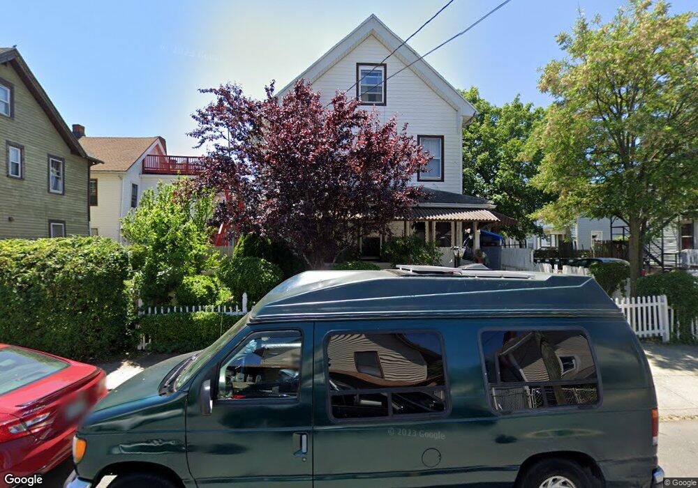
290 Ogden St Bridgeport, CT 06608
East Side Bridgeport NeighborhoodEstimated Value: $372,000 - $399,000
4
Beds
2
Baths
2,197
Sq Ft
$176/Sq Ft
Est. Value
About This Home
This home is located at 290 Ogden St, Bridgeport, CT 06608 and is currently estimated at $386,111, approximately $175 per square foot. 290 Ogden St is a home located in Fairfield County with nearby schools including Barnum School, Harding High School, and Achievement First Bridgeport Academy Elementary School.
Ownership History
Date
Name
Owned For
Owner Type
Purchase Details
Closed on
Nov 26, 2001
Sold by
Martinez Adalberto
Bought by
Serrano Rafael L
Current Estimated Value
Purchase Details
Closed on
Oct 6, 2000
Sold by
Farrow Erwin
Bought by
Rosado Benedicto
Purchase Details
Closed on
Jul 21, 1995
Sold by
Rybczak Jacob
Bought by
Farrow Erwin
Create a Home Valuation Report for This Property
The Home Valuation Report is an in-depth analysis detailing your home's value as well as a comparison with similar homes in the area
Home Values in the Area
Average Home Value in this Area
Purchase History
| Date | Buyer | Sale Price | Title Company |
|---|---|---|---|
| Serrano Rafael L | $98,500 | -- | |
| Serrano Rafael L | $98,500 | -- | |
| Rosado Benedicto | $69,900 | -- | |
| Rosado Benedicto | $69,900 | -- | |
| Farrow Erwin | $58,000 | -- | |
| Farrow Erwin | $58,000 | -- |
Source: Public Records
Mortgage History
| Date | Status | Borrower | Loan Amount |
|---|---|---|---|
| Closed | Farrow Erwin | $50,000 | |
| Open | Farrow Erwin | $161,000 | |
| Closed | Farrow Erwin | $128,000 |
Source: Public Records
Tax History Compared to Growth
Tax History
| Year | Tax Paid | Tax Assessment Tax Assessment Total Assessment is a certain percentage of the fair market value that is determined by local assessors to be the total taxable value of land and additions on the property. | Land | Improvement |
|---|---|---|---|---|
| 2025 | $6,522 | $150,110 | $33,780 | $116,330 |
| 2024 | $6,522 | $150,110 | $33,780 | $116,330 |
| 2023 | $6,522 | $150,110 | $33,780 | $116,330 |
| 2022 | $6,522 | $150,110 | $33,780 | $116,330 |
| 2021 | $6,522 | $150,110 | $33,780 | $116,330 |
| 2020 | $5,598 | $103,690 | $14,400 | $89,290 |
| 2019 | $5,598 | $103,690 | $14,400 | $89,290 |
| 2018 | $5,638 | $103,690 | $14,400 | $89,290 |
| 2017 | $5,638 | $103,690 | $14,400 | $89,290 |
| 2016 | $5,638 | $103,690 | $14,400 | $89,290 |
| 2015 | $6,047 | $143,300 | $25,170 | $118,130 |
| 2014 | $6,047 | $143,300 | $25,170 | $118,130 |
Source: Public Records
Map
Nearby Homes
- 730 Noble Ave Unit 1
- 728 Noble Ave Unit 1
- 728 Noble Ave Unit 3L
- 728 Noble Ave Unit 2
- 728 Noble Ave
- 718 Noble Ave Unit 720
- 279 Ogden St Unit 285
- 269 Ogden St Unit 273
- 289 Ogden St Unit 299
- 307 Park St
- 299 Park St
- 708 Noble Ave Unit 710
- 287 Park St
- 301 Ogden St Unit 307
- 731 Noble Ave
- 768 Noble Ave
- 295 Shelton St Unit 1st floor
- 295 Shelton St Unit 3
- 295 Shelton St Unit 2
- 723 Noble Ave