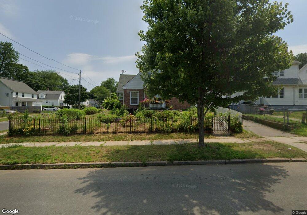
290 Palm St Hartford, CT 06112
Blue Hills NeighborhoodEstimated Value: $292,000 - $337,000
3
Beds
2
Baths
2,348
Sq Ft
$130/Sq Ft
Est. Value
About This Home
This home is located at 290 Palm St, Hartford, CT 06112 and is currently estimated at $306,064, approximately $130 per square foot. 290 Palm St is a home located in Hartford County with nearby schools including Rawson School, Breakthrough Magnet School - North Campus, and West Middle School.
Ownership History
Date
Name
Owned For
Owner Type
Purchase Details
Closed on
Feb 5, 2021
Sold by
Green Lucille E
Bought by
Green Kevin C and Green Lucille E
Current Estimated Value
Purchase Details
Closed on
Jan 20, 1989
Sold by
Lawrence Herbert H
Bought by
Green Lucille
Home Financials for this Owner
Home Financials are based on the most recent Mortgage that was taken out on this home.
Original Mortgage
$100,000
Interest Rate
10.38%
Mortgage Type
Purchase Money Mortgage
Create a Home Valuation Report for This Property
The Home Valuation Report is an in-depth analysis detailing your home's value as well as a comparison with similar homes in the area
Home Values in the Area
Average Home Value in this Area
Purchase History
| Date | Buyer | Sale Price | Title Company |
|---|---|---|---|
| Green Kevin C | -- | None Available | |
| Green Lucille | $145,000 | -- |
Source: Public Records
Mortgage History
| Date | Status | Borrower | Loan Amount |
|---|---|---|---|
| Previous Owner | Green Lucille | $104,000 | |
| Previous Owner | Green Lucille | $100,000 |
Source: Public Records
Tax History Compared to Growth
Tax History
| Year | Tax Paid | Tax Assessment Tax Assessment Total Assessment is a certain percentage of the fair market value that is determined by local assessors to be the total taxable value of land and additions on the property. | Land | Improvement |
|---|---|---|---|---|
| 2025 | $5,450 | $79,049 | $6,762 | $72,287 |
| 2024 | $5,450 | $79,049 | $6,762 | $72,287 |
| 2023 | $5,450 | $79,049 | $6,762 | $72,287 |
| 2022 | $5,450 | $79,049 | $6,762 | $72,287 |
| 2021 | $4,186 | $56,350 | $7,980 | $48,370 |
| 2020 | $4,186 | $56,350 | $7,980 | $48,370 |
| 2019 | $4,186 | $56,350 | $7,980 | $48,370 |
| 2018 | $4,045 | $54,450 | $7,711 | $46,739 |
| 2016 | $4,032 | $54,274 | $7,344 | $46,930 |
| 2015 | $4,032 | $51,696 | $6,995 | $44,701 |
| 2014 | $3,747 | $50,432 | $6,824 | $43,608 |
Source: Public Records
Map
Nearby Homes
- 86 Hartland St
- 152 Burnham St
- 70 Burnham St Unit 72
- 90 Manchester St
- 147 Morningside St W
- 355 Cornwall St Unit 357
- 179 Manchester St
- 171 N Canaan St
- 180 Brookline Ave
- 11 Pershing St Unit 13
- 125 Lebanon St Unit 127
- 181 Westminster St
- 10 Baltic St Unit 12
- 218 Holcomb St Unit 220
- 36 Baltic St Unit 38
- 211 Holcomb St Unit 213
- 97 E Burnham St
- 97 Boothbay St
- 157 Pembroke St Unit 159
- 67 Elizabeth Ave