290 Panhandle Cir Maysville, GA 30558
Estimated Value: $190,000 - $344,000
--
Bed
2
Baths
1,200
Sq Ft
$224/Sq Ft
Est. Value
About This Home
This home is located at 290 Panhandle Cir, Maysville, GA 30558 and is currently estimated at $268,407, approximately $223 per square foot. 290 Panhandle Cir is a home located in Jackson County with nearby schools including Maysville Elementary School, East Jackson Middle School, and East Jackson Comprehensive High School.
Ownership History
Date
Name
Owned For
Owner Type
Purchase Details
Closed on
Aug 17, 2022
Sold by
Miller Shannon Rae
Bought by
Retkofsky Charles A
Current Estimated Value
Purchase Details
Closed on
Jun 6, 2017
Sold by
Watts Lucrecia A
Bought by
Retkofsky Charles and Retkofsky June
Purchase Details
Closed on
Apr 12, 2005
Sold by
Watts Lucrecia A
Bought by
Arias Lucrecia
Purchase Details
Closed on
Jun 23, 1999
Bought by
Watts Lucrecia A
Create a Home Valuation Report for This Property
The Home Valuation Report is an in-depth analysis detailing your home's value as well as a comparison with similar homes in the area
Home Values in the Area
Average Home Value in this Area
Purchase History
| Date | Buyer | Sale Price | Title Company |
|---|---|---|---|
| Retkofsky Charles A | -- | -- | |
| Retkofsky Charles A | -- | -- | |
| Retkofsky Charles A | -- | -- | |
| Retkofsky Charles | $76,000 | -- | |
| Arias Lucrecia | -- | -- | |
| Watts Lucrecia A | $22,500 | -- |
Source: Public Records
Tax History Compared to Growth
Tax History
| Year | Tax Paid | Tax Assessment Tax Assessment Total Assessment is a certain percentage of the fair market value that is determined by local assessors to be the total taxable value of land and additions on the property. | Land | Improvement |
|---|---|---|---|---|
| 2024 | $1,524 | $61,520 | $12,000 | $49,520 |
| 2023 | $1,524 | $54,880 | $12,000 | $42,880 |
| 2022 | $1,150 | $40,600 | $5,600 | $35,000 |
| 2021 | $1,158 | $40,600 | $5,600 | $35,000 |
| 2020 | $1,084 | $34,640 | $5,600 | $29,040 |
| 2019 | $1,101 | $34,640 | $5,600 | $29,040 |
| 2018 | $1,071 | $33,240 | $5,600 | $27,640 |
| 2017 | $1,004 | $32,494 | $5,600 | $26,894 |
| 2016 | $1,010 | $32,494 | $5,600 | $26,894 |
| 2015 | $1,014 | $32,494 | $5,600 | $26,894 |
| 2014 | $994 | $31,644 | $5,600 | $26,044 |
| 2013 | -- | $31,644 | $5,600 | $26,044 |
Source: Public Records
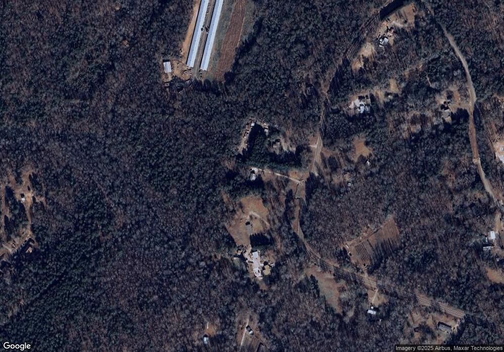
Map
Nearby Homes
- 3354 Plainview Rd
- 596 Pinetree Cir
- 3565 Plainview Rd
- 1118 Marlow Rd
- 1542 Marlow Rd
- 4394 Holly Springs Rd
- 0 Holly Springs Rd Unit 10532102
- 0 Holly Springs Rd Unit 7650967
- 0 Holly Springs Rd Unit 7574834
- 0 Holly Springs Rd Unit 10516561
- 808 Eagle Heights Dr
- 1206 Ridgewood Dr
- 936 Eagle Heights Dr
- 718 Eagle Heights Dr
- 195 Sims Farm Way
- 0 Holly Springs Rd Unit 10571613
- 942 Eagle Heights Dr
- 759 Eagle Heights Dr
- 260 Panhandle Cir
- 338 Panhandle Cir
- 356 Panhandle Cir
- 259 Panhandle Cir
- 166 Panhandle Cir
- 185 Panhandle Cir
- 422 Panhandle Cir
- 408 Golden Nuggett Way
- 961 Silver Dollar Rd
- 420 Golden Nuggett Way
- 450 Golden Nuggett Way
- 4 Panhandle Cir
- 837 Silver Dollar Rd
- 532 Panhandle Cir
- 570 Panhandle Cir
- 1496 Dixon Bridge Rd
- 824 Silver Dollar Rd
- 330 Bristol Ln
- 815 Silver Dollar Rd
- 0 Old Miller Rd