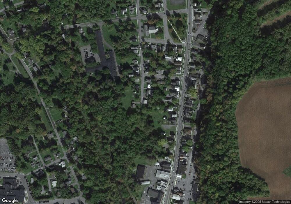
290 Race St Chittenango, NY 13037
Estimated Value: $106,000 - $208,000
4
Beds
2
Baths
1,275
Sq Ft
$116/Sq Ft
Est. Value
About This Home
This home is located at 290 Race St, Chittenango, NY 13037 and is currently estimated at $147,684, approximately $115 per square foot. 290 Race St is a home located in Madison County with nearby schools including Chittenango High School.
Ownership History
Date
Name
Owned For
Owner Type
Purchase Details
Closed on
Jan 13, 2021
Sold by
Jackson Cheryl
Bought by
White Bridge 123 Llc
Current Estimated Value
Purchase Details
Closed on
Sep 3, 2015
Sold by
Willard James
Bought by
Jackson Cheryl
Home Financials for this Owner
Home Financials are based on the most recent Mortgage that was taken out on this home.
Original Mortgage
$28,000
Interest Rate
4.01%
Mortgage Type
Purchase Money Mortgage
Purchase Details
Closed on
May 3, 2000
Sold by
Mulvaney Kim
Bought by
Wilard James
Create a Home Valuation Report for This Property
The Home Valuation Report is an in-depth analysis detailing your home's value as well as a comparison with similar homes in the area
Home Values in the Area
Average Home Value in this Area
Purchase History
| Date | Buyer | Sale Price | Title Company |
|---|---|---|---|
| White Bridge 123 Llc | $57,500 | None Available | |
| Jackson Cheryl | $65,600 | Lawrence Brown | |
| Wilard James | $42,500 | Peter Baum |
Source: Public Records
Mortgage History
| Date | Status | Borrower | Loan Amount |
|---|---|---|---|
| Previous Owner | Jackson Cheryl | $28,000 |
Source: Public Records
Tax History Compared to Growth
Tax History
| Year | Tax Paid | Tax Assessment Tax Assessment Total Assessment is a certain percentage of the fair market value that is determined by local assessors to be the total taxable value of land and additions on the property. | Land | Improvement |
|---|---|---|---|---|
| 2024 | $1,460 | $63,600 | $12,400 | $51,200 |
| 2023 | $3,019 | $63,600 | $12,400 | $51,200 |
| 2022 | $2,917 | $63,600 | $12,400 | $51,200 |
| 2021 | $2,901 | $63,600 | $12,400 | $51,200 |
| 2020 | $2,847 | $63,600 | $12,400 | $51,200 |
| 2019 | $2,894 | $63,600 | $12,400 | $51,200 |
| 2018 | $2,894 | $63,600 | $12,400 | $51,200 |
| 2017 | $2,777 | $63,600 | $12,400 | $51,200 |
| 2016 | $2,770 | $63,600 | $12,400 | $51,200 |
| 2015 | -- | $63,600 | $12,400 | $51,200 |
| 2014 | -- | $63,600 | $12,400 | $51,200 |
Source: Public Records
Map
Nearby Homes
- 308 Lake St
- 306 Brinkerhoff St
- 116 Hills St
- 500 Lake St
- 628 Lakeport Rd
- 608 Forbes Ave
- 0 Lucas Rd Unit S1637909
- 2233 Gidran Dr
- 0 Walnut Point Rd Unit S1594837
- 0 Walnut Point Rd Unit S1594838
- 507 Valley Dr E
- 339 W Genesee St
- 609 Webber Dr
- 1751 State Route 173
- 138 Hawthorne Way
- 612 Valley Dr W
- 110 Schuyler Dr
- 7033 Lakeport Rd
- 624 Valley Dr W
- 821 Tuscarora Rd
