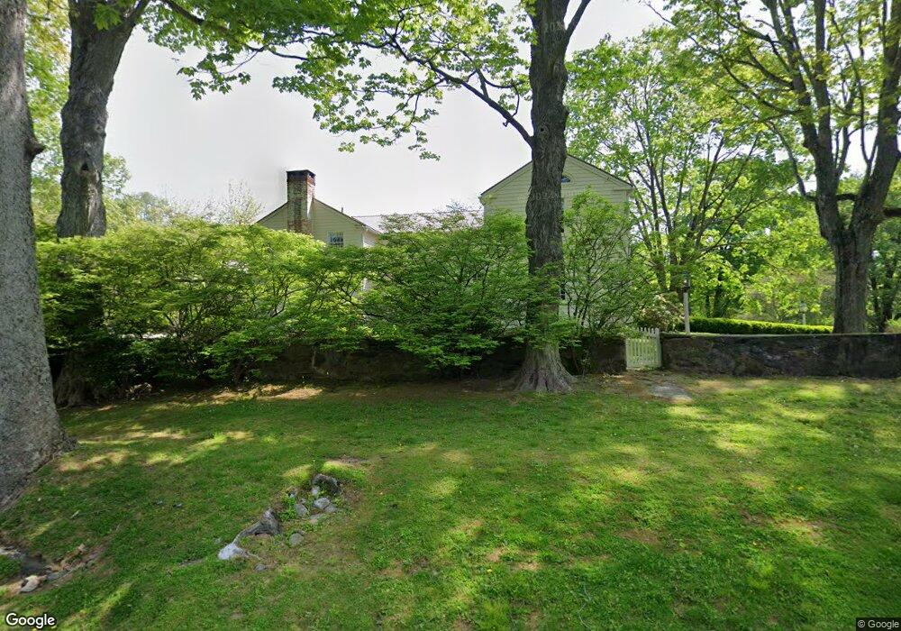
290 Redding (& 4079) Rd Unit LAND Easton, CT 06612
--
Bed
--
Bath
--
Sq Ft
4.75
Acres
About This Home
This home is located at 290 Redding (& 4079) Rd Unit LAND, Easton, CT 06612. 290 Redding (& 4079) Rd Unit LAND is a home located in Fairfield County with nearby schools including Samuel Staples Elementary School, Helen Keller Middle School, and Joel Barlow High School.
Create a Home Valuation Report for This Property
The Home Valuation Report is an in-depth analysis detailing your home's value as well as a comparison with similar homes in the area
Home Values in the Area
Average Home Value in this Area
Tax History Compared to Growth
Map
Nearby Homes
- 100 E Common Rd
- 111 & 115 Old Easton Turnpike
- 2775 North St
- 90 Redding Rd
- 85-95 Old Easton Turnpike
- 3 Mayflower Ln
- 76 Burr St
- 102 11 O Clock Rd
- 80 Gilbert Hwy
- 1375 Westport Turnpike
- 0 Old Easton Turnpike
- 180 Catamount Rd
- 64 Old Redding Rd
- 354 Black Rock Turnpike
- 18 Wells Hill Rd
- 158 Coventry Ln
- 18 Cardinal Rd
- 18 Hunt Ln
- 4800 Congress St
- 22 Brett Rd
- 290 Redding (& 4079) Rd
- 290 Redding Rd
- 4079 Redding (& 290) Rd
- 270 Redding Rd
- 270 Redding Rd Unit 280
- 4075 Redding Rd
- 285 Redding Rd
- 285 Redding Rd
- 280 Redding Rd
- 280 Redding Rd Unit REAR
- 35 West Rd
- 4041 Redding Rd
- 11 West Rd
- 87 Foggwood Cir
- 30 West Rd
- 301 Redding Rd
- 81 Foggwood Cir
- 4014 Redding Rd
- 58 Foggwood Rd
- 3975 Redding Rd