290 Royal Lodge Rd Warm Springs, GA 31830
Estimated Value: $194,872 - $269,000
2
Beds
2
Baths
1,006
Sq Ft
$213/Sq Ft
Est. Value
About This Home
This home is located at 290 Royal Lodge Rd, Warm Springs, GA 31830 and is currently estimated at $214,718, approximately $213 per square foot. 290 Royal Lodge Rd is a home with nearby schools including Park Elementary School, Harris County Carver Middle School, and Harris County High School.
Ownership History
Date
Name
Owned For
Owner Type
Purchase Details
Closed on
Feb 26, 2018
Sold by
Rhoades Larry Francis
Bought by
Bjorklund Carl and Bjorklund Mary Ann
Current Estimated Value
Purchase Details
Closed on
Oct 14, 2015
Sold by
Gordon Claire C
Bought by
Rhoades Larry Frances Rhoade
Purchase Details
Closed on
Apr 19, 2004
Sold by
Robnett Richard W and Robnett Betty J
Bought by
Gordon Claire C
Purchase Details
Closed on
Dec 20, 2000
Bought by
Robnett Richard W and Robnett Betty J
Create a Home Valuation Report for This Property
The Home Valuation Report is an in-depth analysis detailing your home's value as well as a comparison with similar homes in the area
Home Values in the Area
Average Home Value in this Area
Purchase History
| Date | Buyer | Sale Price | Title Company |
|---|---|---|---|
| Bjorklund Carl | $157,500 | -- | |
| Rhoades Larry Frances Rhoade | $150,000 | -- | |
| Gordon Claire C | $150,000 | -- | |
| Robnett Richard W | $145,000 | -- |
Source: Public Records
Tax History Compared to Growth
Tax History
| Year | Tax Paid | Tax Assessment Tax Assessment Total Assessment is a certain percentage of the fair market value that is determined by local assessors to be the total taxable value of land and additions on the property. | Land | Improvement |
|---|---|---|---|---|
| 2024 | $1,891 | $65,426 | $9,600 | $55,826 |
| 2023 | $1,887 | $65,252 | $9,600 | $55,652 |
| 2022 | $1,887 | $65,252 | $9,600 | $55,652 |
| 2021 | $1,905 | $63,536 | $9,600 | $53,936 |
| 2020 | $1,905 | $63,536 | $9,600 | $53,936 |
| 2019 | $1,814 | $62,484 | $9,600 | $52,884 |
| 2018 | $1,689 | $56,632 | $9,600 | $47,032 |
| 2017 | $1,689 | $56,632 | $9,600 | $47,032 |
| 2016 | $1,435 | $52,071 | $9,600 | $42,471 |
| 2015 | $1,318 | $47,218 | $9,600 | $37,618 |
| 2014 | $1,224 | $47,218 | $9,600 | $37,618 |
| 2013 | -- | $48,716 | $9,600 | $39,116 |
Source: Public Records
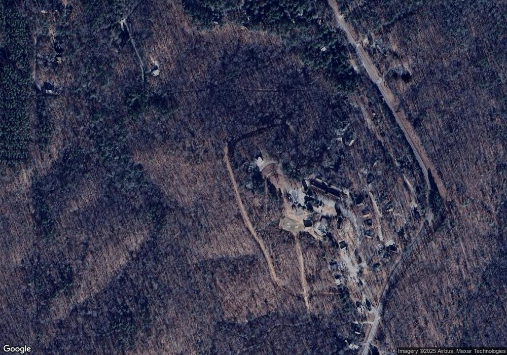
Map
Nearby Homes
- 0 County Line Church Rd Unit 10583557
- 138 Cedar Dr
- 0 Kings Gap Rd Unit 7528480
- 0 Kings Gap Rd Unit 219441
- 0 Kings Gap Rd Unit 10460002
- 22 Oak Dr
- 2763 Trammell Mill Rd
- 30 Elm Dr
- 247 Cold Springs Rd
- 5361 Kings Gap Rd
- 514 Phillips Rd
- 5920 Kings Gap Rd
- 0 Durand Hwy Unit 24120903
- 0 Durand Hwy Unit 10561757
- 5100 Durand Hwy
- 849 Orchard Rd
- 299 S L St
- 805 J St
- 353 Parham Rd
- 70 Abbie Shepherd Dr
- 282 Royal Lodge Rd
- 243 Royal Lodge Rd Unit 18
- 243 Royal Lodge Rd
- 274 Royal Lodge Dr
- 248 Royal Lodge Rd
- 185 Royal Lodge Cir
- 165 Royal Lodge Dr
- 193 Royal Lodge Rd
- 79 Royal Lodge Rd
- 35 Royal Lodge Cir
- 178 Royal Lodge Cir
- 63 Royal Lodge Rd
- 18 Royal Lodge Cir
- 142 Royal Lodge Cir
- 41 Royal Lodge Rd
- 6 Royal Lodge Rd
- 6 Royal Lodge Cir
- 47 Royal Lodge Rd
- 67 Moutain Top Way
- 67 Mountain Top Rd