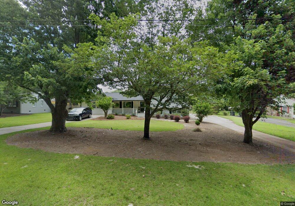
290 S Forest Ave Social Circle, GA 30025
Estimated Value: $342,391 - $453,000
--
Bed
--
Bath
2,778
Sq Ft
$145/Sq Ft
Est. Value
About This Home
This home is located at 290 S Forest Ave, Social Circle, GA 30025 and is currently estimated at $404,098, approximately $145 per square foot. 290 S Forest Ave is a home located in Walton County with nearby schools including Social Circle Primary School, Social Circle Elementary School, and Social Circle Middle School.
Ownership History
Date
Name
Owned For
Owner Type
Purchase Details
Closed on
Jun 30, 1997
Sold by
Lindsey Patsy C
Bought by
Chisholm Dan A and Chisholm Shannon
Current Estimated Value
Home Financials for this Owner
Home Financials are based on the most recent Mortgage that was taken out on this home.
Original Mortgage
$95,961
Outstanding Balance
$14,266
Interest Rate
7.92%
Mortgage Type
FHA
Estimated Equity
$389,832
Create a Home Valuation Report for This Property
The Home Valuation Report is an in-depth analysis detailing your home's value as well as a comparison with similar homes in the area
Home Values in the Area
Average Home Value in this Area
Purchase History
| Date | Buyer | Sale Price | Title Company |
|---|---|---|---|
| Chisholm Dan A | $98,300 | -- |
Source: Public Records
Mortgage History
| Date | Status | Borrower | Loan Amount |
|---|---|---|---|
| Open | Chisholm Dan A | $95,961 |
Source: Public Records
Tax History Compared to Growth
Tax History
| Year | Tax Paid | Tax Assessment Tax Assessment Total Assessment is a certain percentage of the fair market value that is determined by local assessors to be the total taxable value of land and additions on the property. | Land | Improvement |
|---|---|---|---|---|
| 2024 | $3,097 | $107,744 | $20,000 | $87,744 |
| 2023 | $3,034 | $102,864 | $18,000 | $84,864 |
| 2022 | $386 | $90,944 | $16,000 | $74,944 |
| 2021 | $386 | $73,584 | $11,000 | $62,584 |
| 2020 | $396 | $69,424 | $8,480 | $60,944 |
| 2019 | $404 | $59,984 | $8,480 | $51,504 |
| 2018 | $404 | $59,984 | $8,480 | $51,504 |
| 2017 | $2,232 | $53,424 | $6,480 | $46,944 |
| 2016 | $420 | $48,304 | $6,480 | $41,824 |
| 2015 | $417 | $42,224 | $6,480 | $35,744 |
| 2014 | $405 | $38,128 | $0 | $0 |
Source: Public Records
Map
Nearby Homes
- 159 S Forest Ave
- 357 W Hightower Trail
- 603 Lakewood Dr SW
- 226 Rogue Rd
- 207 E Hightower Trail
- 127 Holly St NE
- 241 E Ash St
- 135 N Dogwood Ave
- 582 S Cherokee Rd
- 413 Crossroads Dr
- 381 Crossroads Dr
- 215 Park Place Trail
- 304 Dogwood Ave
- 210 Park Place Trail
- 443 Windsong Ln
- Adrian Plan at Conner Springs
- Sinclair Plan at Conner Springs
- Shiloh Plan at Conner Springs
- Mira Plan at Conner Springs
- Hemingway Plan at Conner Springs
- 278 S Forest Ave
- 364 Lakewood Dr SW
- 307 Branham Cir
- 386 Lakewood Dr SW
- S S Forest Ave Unit 2
- S S Forest Ave
- 314 S Forest Ave
- 326 S Forest Ave
- 262 S Forest Ave
- 396 Lakewood Dr SW
- 352 Lakewood Dr SW
- 102 Gabriel Way
- 308 Branham Cir
- 340 Lakewood Dr
- 404 Lakewood Dr SW
- 337 Branham Cir
- 246 S Forest Ave
- 385 Lakewood Dr SW
- 324 Branham Cir
- 401 Lakewood Dr