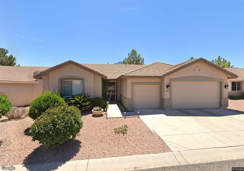
290 S Latigo Way Cottonwood, AZ 86326
Cottonwood NeighborhoodEstimated Value: $507,000 - $543,253
3
Beds
--
Bath
2,126
Sq Ft
$251/Sq Ft
Est. Value
About This Home
This home is located at 290 S Latigo Way, Cottonwood, AZ 86326 and is currently estimated at $533,313, approximately $250 per square foot. 290 S Latigo Way is a home located in Yavapai County with nearby schools including Cottonwood Elementary School, Dr Daniel Bright Elementary School, and Cottonwood Community School.
Ownership History
Date
Name
Owned For
Owner Type
Purchase Details
Closed on
Dec 10, 2004
Sold by
Bean Gary O and Bean Donna S
Bought by
Bean Timothy D
Current Estimated Value
Home Financials for this Owner
Home Financials are based on the most recent Mortgage that was taken out on this home.
Original Mortgage
$220,000
Outstanding Balance
$111,393
Interest Rate
6%
Mortgage Type
New Conventional
Estimated Equity
$421,920
Purchase Details
Closed on
May 13, 2002
Sold by
Del Webbs Coventry Homes Inc
Bought by
Bean Timothy D and Bean Gary O
Home Financials for this Owner
Home Financials are based on the most recent Mortgage that was taken out on this home.
Original Mortgage
$123,990
Interest Rate
6%
Mortgage Type
Purchase Money Mortgage
Create a Home Valuation Report for This Property
The Home Valuation Report is an in-depth analysis detailing your home's value as well as a comparison with similar homes in the area
Home Values in the Area
Average Home Value in this Area
Purchase History
| Date | Buyer | Sale Price | Title Company |
|---|---|---|---|
| Bean Timothy D | -- | First American Title Ins Co | |
| Bean Timothy D | $173,990 | First American Title | |
| Del Webbs Coventry Homes Inc | -- | First American Title | |
| Del Webbs Coventry Homes Construction Co | -- | First American Title |
Source: Public Records
Mortgage History
| Date | Status | Borrower | Loan Amount |
|---|---|---|---|
| Open | Bean Timothy D | $220,000 | |
| Closed | Bean Timothy D | $123,990 | |
| Closed | Bean Timothy D | $27,500 |
Source: Public Records
Tax History Compared to Growth
Tax History
| Year | Tax Paid | Tax Assessment Tax Assessment Total Assessment is a certain percentage of the fair market value that is determined by local assessors to be the total taxable value of land and additions on the property. | Land | Improvement |
|---|---|---|---|---|
| 2026 | $1,727 | $43,021 | -- | -- |
| 2024 | $1,692 | $42,940 | -- | -- |
| 2023 | $1,692 | $33,892 | $8,186 | $25,706 |
| 2022 | $1,688 | $30,025 | $7,443 | $22,582 |
| 2021 | $1,835 | $26,999 | $6,585 | $20,414 |
| 2020 | $1,822 | $0 | $0 | $0 |
| 2019 | $1,812 | $0 | $0 | $0 |
| 2018 | $1,741 | $0 | $0 | $0 |
| 2017 | $1,667 | $0 | $0 | $0 |
| 2016 | $1,638 | $0 | $0 | $0 |
| 2015 | $1,641 | $0 | $0 | $0 |
| 2014 | $1,454 | $0 | $0 | $0 |
Source: Public Records
Map
Nearby Homes
- 265 S Latigo Way
- 293 S Wild Horse Way
- 338 S Wild Horse Way
- 235 S Cowboy Way
- 1850 W Wagon Wheel Rd
- 1865 W Wagon Wheel Rd
- 1910 W Trail Blazer Dr
- 355 S Desperado Dr
- 1869 W Trail Blazer Dr
- 1975 Golddust Cir
- 1830 W Trail Blazer Dr
- 559 Coyote Trail
- 1844 Sunset Dr
- 2185 Gold Rush Ln
- 1850 Sunset Dr
- STERLING Plan at Mesquite Hills
- VERBENA Plan at Mesquite Hills
- ALAMAR Plan at Mesquite Hills
- 585 Coyote Trail
- 564 Coyote Trail