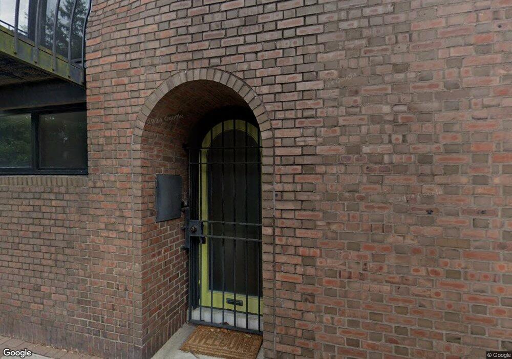
290 Saint James Place Philadelphia, PA 19106
Society Hill NeighborhoodEstimated Value: $1,159,000 - $1,698,000
4
Beds
3
Baths
2,520
Sq Ft
$554/Sq Ft
Est. Value
About This Home
This home is located at 290 Saint James Place, Philadelphia, PA 19106 and is currently estimated at $1,397,031, approximately $554 per square foot. 290 Saint James Place is a home located in Philadelphia County with nearby schools including General George A McCall Public School, Benjamin Franklin High School, and Mastery Charter High School Lenfest Campus.
Ownership History
Date
Name
Owned For
Owner Type
Purchase Details
Closed on
Feb 10, 2012
Sold by
Hausmann Arlene and Will Of Edward C Raffensperger
Bought by
Ottmann Gary L and Williams Charles R
Current Estimated Value
Home Financials for this Owner
Home Financials are based on the most recent Mortgage that was taken out on this home.
Original Mortgage
$560,000
Outstanding Balance
$362,098
Interest Rate
2.75%
Mortgage Type
Adjustable Rate Mortgage/ARM
Estimated Equity
$1,034,933
Create a Home Valuation Report for This Property
The Home Valuation Report is an in-depth analysis detailing your home's value as well as a comparison with similar homes in the area
Home Values in the Area
Average Home Value in this Area
Purchase History
| Date | Buyer | Sale Price | Title Company |
|---|---|---|---|
| Ottmann Gary L | $700,000 | Commonwealth Land Title Ins |
Source: Public Records
Mortgage History
| Date | Status | Borrower | Loan Amount |
|---|---|---|---|
| Open | Ottmann Gary L | $560,000 |
Source: Public Records
Tax History Compared to Growth
Tax History
| Year | Tax Paid | Tax Assessment Tax Assessment Total Assessment is a certain percentage of the fair market value that is determined by local assessors to be the total taxable value of land and additions on the property. | Land | Improvement |
|---|---|---|---|---|
| 2025 | $15,674 | $1,159,400 | $231,880 | $927,520 |
| 2024 | $15,674 | $1,159,400 | $231,880 | $927,520 |
| 2023 | $15,674 | $1,119,700 | $223,940 | $895,760 |
| 2022 | $15,674 | $1,074,700 | $223,940 | $850,760 |
| 2021 | $15,674 | $0 | $0 | $0 |
| 2020 | $15,674 | $0 | $0 | $0 |
| 2019 | $15,168 | $0 | $0 | $0 |
| 2018 | $11,469 | $0 | $0 | $0 |
| 2017 | $11,469 | $0 | $0 | $0 |
| 2016 | $11,469 | $0 | $0 | $0 |
| 2015 | -- | $0 | $0 | $0 |
| 2014 | -- | $819,300 | $79,401 | $739,899 |
| 2012 | -- | $111,712 | $15,826 | $95,886 |
Source: Public Records
Map
Nearby Homes
- 283 Locust St
- 242 Locust St
- 2 Willings Alley Mews
- 259 S 4th St
- 200 Locust St Unit 27FN
- 200 Locust St Unit 8A
- 200 Locust St Unit 24BN
- 211 25 S 4th St Unit 104
- 211 25 S 4th St Unit 404
- 211 25 S 4th St Unit 105
- 220 Locust St Unit 2D
- 220 Locust St Unit 26AS
- 220 Locust St Unit 2DES
- 210 Locust St Unit 15EW
- 210 Locust St Unit 29HW
- 210 Locust St Unit 21E
- 210 Locust St Unit 29GW
- 210 Locust St Unit 29EFW
- 202 Spruce St
- 302 S 2nd St
- 288 Saint James Place
- 292 Saint James Place
- 286 Saint James Place
- 294 Saint James Place
- 284 Saint James Place
- 296 Saint James Place
- 201 Saint James Place
- 238 Philip Place
- 234 Philip Place
- 235 S 3rd St
- 232 Philip Place
- 233 S 3rd St
- 236 Philip Place
- 240 Philip Place
- 239 S 3rd St
- 241 S 3rd St
- 242 Philip Place
- 243 S 3rd St Unit 403
- 243 S 3rd St
- 244 Philip Place