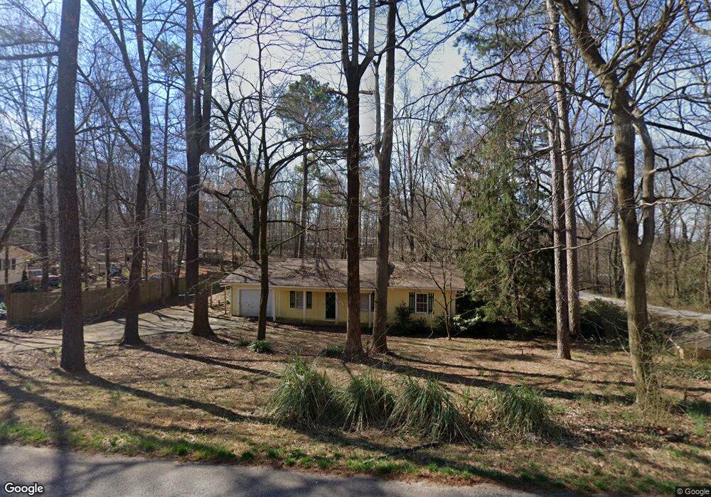
290 Savage Rd Mount Airy, GA 30563
Estimated Value: $224,512 - $308,000
3
Beds
1
Bath
1,173
Sq Ft
$222/Sq Ft
Est. Value
About This Home
This home is located at 290 Savage Rd, Mount Airy, GA 30563 and is currently estimated at $260,128, approximately $221 per square foot. 290 Savage Rd is a home located in Habersham County with nearby schools including Hazel Grove Elementary School, Habersham Success Academy, and North Habersham Middle School.
Ownership History
Date
Name
Owned For
Owner Type
Purchase Details
Closed on
Apr 19, 2005
Sold by
Northeast Georgia Homes Ll
Bought by
Oquinn Barnie
Current Estimated Value
Home Financials for this Owner
Home Financials are based on the most recent Mortgage that was taken out on this home.
Original Mortgage
$45,000
Outstanding Balance
$23,538
Interest Rate
5.99%
Mortgage Type
New Conventional
Estimated Equity
$236,590
Create a Home Valuation Report for This Property
The Home Valuation Report is an in-depth analysis detailing your home's value as well as a comparison with similar homes in the area
Home Values in the Area
Average Home Value in this Area
Purchase History
| Date | Buyer | Sale Price | Title Company |
|---|---|---|---|
| Oquinn Barnie | $80,000 | -- |
Source: Public Records
Mortgage History
| Date | Status | Borrower | Loan Amount |
|---|---|---|---|
| Open | Oquinn Barnie | $45,000 |
Source: Public Records
Tax History Compared to Growth
Tax History
| Year | Tax Paid | Tax Assessment Tax Assessment Total Assessment is a certain percentage of the fair market value that is determined by local assessors to be the total taxable value of land and additions on the property. | Land | Improvement |
|---|---|---|---|---|
| 2025 | $1,540 | $63,751 | $15,960 | $47,791 |
| 2024 | $1,228 | $47,316 | $6,192 | $41,124 |
| 2023 | $1,046 | $40,300 | $6,192 | $34,108 |
| 2022 | $926 | $35,532 | $6,192 | $29,340 |
| 2021 | $847 | $32,628 | $6,192 | $26,436 |
| 2020 | $779 | $28,964 | $6,192 | $22,772 |
| 2019 | $780 | $28,964 | $6,192 | $22,772 |
| 2018 | $774 | $28,964 | $6,192 | $22,772 |
| 2017 | $728 | $27,116 | $6,192 | $20,924 |
| 2016 | $707 | $67,790 | $6,192 | $20,924 |
| 2015 | $699 | $67,790 | $6,192 | $20,924 |
| 2014 | $701 | $66,800 | $6,192 | $20,528 |
| 2013 | -- | $26,720 | $6,192 | $20,528 |
Source: Public Records
Map
Nearby Homes
- 339 Ben Loudermilk Rd
- 1605 Cody Rd
- 336 Dixie Ct
- 268 Northwoods Dr
- 441 Expressway
- 1116 Cody Rd
- 0 N Highway 365 Unit 10006830
- 309 Morning Star Ln
- 110 Waterloo Dr
- 167 Bridgewater Dr
- 0 S Highway 365 Unit 10006827
- 0 Gladston Rd
- 849 Blacksnake Rd
- 0 Louden Ridge Rd Unit 7627451
- 0 Louden Ridge Rd Unit 10578243
- 192 Stonington Dr
- 120 Beck Rd
- 222 N Mize Rd
- 2207 Blacksnake Rd
- 473 Linwood Dr
- 332 Savage Rd
- 309 Savage Rd
- 360 Savage Rd
- 262 Savage Rd
- 144 Farmhouse Rd
- 378 Savage Rd
- 378 Savage Rd
- 223 Savage Rd
- 141 Farmhouse Rd
- 0 Savage Rd
- 164 Farmhouse Rd
- 192 Farmhouse Rd
- 412 Savage Rd
- 212 Farmhouse Rd
- 208 Savage Rd
- 247 Savage Rd
- 255 Savage Rd
- 6200 Camp Creek Rd
- 187 Farmhouse Rd
- 418 Chrisnole Dr