290 Sowell Rd McDonough, GA 30252
Estimated Value: $853,000 - $1,150,000
4
Beds
5
Baths
4,741
Sq Ft
$211/Sq Ft
Est. Value
About This Home
This home is located at 290 Sowell Rd, McDonough, GA 30252 and is currently estimated at $999,362, approximately $210 per square foot. 290 Sowell Rd is a home located in Henry County with nearby schools including Tussahaw Elementary School, McDonough Middle School, and New Creation Christian Academy.
Ownership History
Date
Name
Owned For
Owner Type
Purchase Details
Closed on
Sep 23, 2020
Sold by
Cain Natalie W
Bought by
Williams Robert Anthony and Williams Shenita Jenelle
Current Estimated Value
Home Financials for this Owner
Home Financials are based on the most recent Mortgage that was taken out on this home.
Original Mortgage
$819,850
Outstanding Balance
$723,201
Interest Rate
2.9%
Mortgage Type
VA
Estimated Equity
$276,161
Purchase Details
Closed on
Jan 20, 2006
Sold by
Standard Prop Inc
Bought by
Cain Natalie W
Home Financials for this Owner
Home Financials are based on the most recent Mortgage that was taken out on this home.
Original Mortgage
$385,000
Interest Rate
6.21%
Mortgage Type
New Conventional
Create a Home Valuation Report for This Property
The Home Valuation Report is an in-depth analysis detailing your home's value as well as a comparison with similar homes in the area
Home Values in the Area
Average Home Value in this Area
Purchase History
| Date | Buyer | Sale Price | Title Company |
|---|---|---|---|
| Williams Robert Anthony | $880,000 | -- | |
| Cain Natalie W | $86,000 | -- |
Source: Public Records
Mortgage History
| Date | Status | Borrower | Loan Amount |
|---|---|---|---|
| Open | Williams Robert Anthony | $819,850 | |
| Previous Owner | Cain Natalie W | $385,000 |
Source: Public Records
Tax History Compared to Growth
Tax History
| Year | Tax Paid | Tax Assessment Tax Assessment Total Assessment is a certain percentage of the fair market value that is determined by local assessors to be the total taxable value of land and additions on the property. | Land | Improvement |
|---|---|---|---|---|
| 2025 | $8,128 | $416,080 | $44,160 | $371,920 |
| 2024 | $8,128 | $409,600 | $39,760 | $369,840 |
| 2023 | $12,183 | $390,760 | $38,280 | $352,480 |
| 2022 | $12,973 | $384,080 | $35,320 | $348,760 |
| 2021 | $11,501 | $325,520 | $30,320 | $295,200 |
| 2020 | $9,386 | $252,840 | $28,560 | $224,280 |
| 2019 | $9,324 | $250,200 | $27,080 | $223,120 |
| 2018 | $8,819 | $235,920 | $25,040 | $210,880 |
| 2016 | $7,133 | $191,960 | $22,080 | $169,880 |
| 2015 | $7,407 | $193,560 | $25,440 | $168,120 |
| 2014 | $6,599 | $171,240 | $25,440 | $145,800 |
Source: Public Records
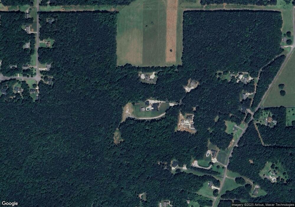
Map
Nearby Homes
- 150 Whitaker Rd
- 150 Sterling Ave
- 1449 Highway 81 E
- 125 Steeplechase Dr
- 205 Calvery Way
- 1926 King Mill Rd
- 1916 King Mill Rd
- 1936 King Mill Rd
- 224 Osier Dr
- 450 Noblewood Dr
- 446 Noblewood Dr
- 435 Noblewood Dr
- 420 Tavistock Ct
- 168 Osier Dr
- 242 Old Jackson Rd
- 103 Royal Way
- 1891 Highway 81 E
- 275 S Bethany Rd
- 315 S Bethany Rd
- 308 Stallings Dr
- 260 Sowell Rd
- 294 Sowell Rd
- 284 Sowell Rd
- 376 Sowell Rd
- 348 Sowell Rd
- 348 Sowell Rd Unit N/
- 302 Sowell Rd
- 298 Sowell Rd
- 278 Sowell Rd
- 272 Sowell Rd
- 268 Sowell Rd
- 362 Sowell Rd
- 380 Sowell Rd
- 384 Sowell Rd Unit 3
- 384 Sowell Rd
- 265 Steeplechase Dr
- 392 Sowell Rd
- 255 Steeplechase Dr
- 271 Sowell Rd
- 275 Steeplechase Dr