290 Tipple Hill Loop Cle Elum, WA 98922
Estimated Value: $1,771,427 - $2,066,000
3
Beds
4
Baths
3,235
Sq Ft
$596/Sq Ft
Est. Value
About This Home
This home is located at 290 Tipple Hill Loop, Cle Elum, WA 98922 and is currently estimated at $1,928,607, approximately $596 per square foot. 290 Tipple Hill Loop is a home with nearby schools including Cle Elum Roslyn Elementary School, Walter Strom Middle School, and Cle Elum Roslyn High School.
Ownership History
Date
Name
Owned For
Owner Type
Purchase Details
Closed on
Sep 15, 2014
Sold by
Akins John and Akins Leslie L
Bought by
Hall Scott and Hall Kari
Current Estimated Value
Purchase Details
Closed on
Oct 11, 2005
Sold by
Suncadia Llc
Bought by
Akins Leslie L and Akins John P
Home Financials for this Owner
Home Financials are based on the most recent Mortgage that was taken out on this home.
Original Mortgage
$307,395
Interest Rate
6.37%
Mortgage Type
Adjustable Rate Mortgage/ARM
Create a Home Valuation Report for This Property
The Home Valuation Report is an in-depth analysis detailing your home's value as well as a comparison with similar homes in the area
Home Values in the Area
Average Home Value in this Area
Purchase History
| Date | Buyer | Sale Price | Title Company |
|---|---|---|---|
| Hall Scott | $140,000 | None Available | |
| Akins John | -- | Amerititle | |
| Akins Leslie L | $341,550 | Amerititle |
Source: Public Records
Mortgage History
| Date | Status | Borrower | Loan Amount |
|---|---|---|---|
| Previous Owner | Akins Leslie L | $307,395 |
Source: Public Records
Tax History Compared to Growth
Tax History
| Year | Tax Paid | Tax Assessment Tax Assessment Total Assessment is a certain percentage of the fair market value that is determined by local assessors to be the total taxable value of land and additions on the property. | Land | Improvement |
|---|---|---|---|---|
| 2025 | $11,100 | $1,757,490 | $392,300 | $1,365,190 |
| 2023 | $11,100 | $1,659,530 | $366,400 | $1,293,130 |
| 2022 | $8,910 | $1,236,610 | $222,350 | $1,014,260 |
| 2021 | $8,592 | $1,137,120 | $156,350 | $980,770 |
| 2019 | $7,769 | $1,024,300 | $130,100 | $894,200 |
| 2018 | $6,378 | $797,160 | $97,130 | $700,030 |
| 2017 | $6,378 | $797,160 | $97,130 | $700,030 |
| 2016 | $4,967 | $617,710 | $97,130 | $520,580 |
| 2015 | $841 | $617,710 | $97,130 | $520,580 |
| 2013 | -- | $97,120 | $97,120 | $0 |
Source: Public Records
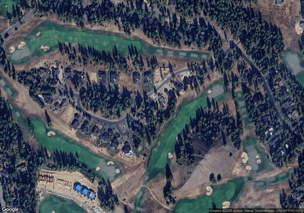
Map
Nearby Homes
- 301 Tipple Hill Loop
- 221 Tipple Hill Loop
- 2101 Coal Mine Way
- 2040 Coal Mine Way
- 1481 Coal Mine Way
- 100 Black Nugget Ln
- 420 Black Nugget Ln
- 31 Blackberry Ct
- 70 Thimbleberry Ct
- 681 Maple Leaf Loop
- 61 Equinox Dr
- 51 Thimbleberry Ct
- 73 Sweet Shop Ln
- 950 Coal Mine Way
- 130 Miners Camp Way
- 81 Bullwheel Ln
- 530 Spragger Way
- 240 Monabel Ct
- 722 S A St
- 460 Equinox Dr
- 330 Tipple Hill Loop
- 260 Tipple Hill Loop
- 360 Tipple Hill Loop
- 230 Tipple Hill Loop
- 271 Tipple Hill Loop
- 200 Tipple Hill Loop
- 660 Tipple Hill Loop
- 370 Tipple Hill Loop
- 540 Tipple Hill Loop
- 150 Tipple Hill Loop
- 630 Tipple Hill Loop
- 380 Tipple Hill Loop
- 400 Tipple Hill Loop
- 430 Tipple Hill Loop
- 460 Tipple Hill Loop
- 490 Tipple Hill Loop
- 1911 Coal Mine Way
- 21 Carbide Ct