290 Whitetail Dr Walnut Shade, MO 65771
Estimated Value: $527,000 - $578,000
4
Beds
4
Baths
3,388
Sq Ft
$162/Sq Ft
Est. Value
About This Home
This home is located at 290 Whitetail Dr, Walnut Shade, MO 65771 and is currently estimated at $548,835, approximately $161 per square foot. 290 Whitetail Dr is a home located in Taney County with nearby schools including Buchanan Intermediate School, Buchanan Elementary School, and Branson Junior High School.
Ownership History
Date
Name
Owned For
Owner Type
Purchase Details
Closed on
Jan 31, 2018
Sold by
Foraker David and Foraker Glenda
Bought by
Seitz Daniel J and Seitz Nicole D
Current Estimated Value
Purchase Details
Closed on
Aug 16, 2006
Sold by
Cook Robert G and Cook Roberta J
Bought by
Sunterra Fall Creek Development Llc
Create a Home Valuation Report for This Property
The Home Valuation Report is an in-depth analysis detailing your home's value as well as a comparison with similar homes in the area
Purchase History
| Date | Buyer | Sale Price | Title Company |
|---|---|---|---|
| Seitz Daniel J | -- | None Available | |
| Sunterra Fall Creek Development Llc | -- | -- |
Source: Public Records
Tax History
| Year | Tax Paid | Tax Assessment Tax Assessment Total Assessment is a certain percentage of the fair market value that is determined by local assessors to be the total taxable value of land and additions on the property. | Land | Improvement |
|---|---|---|---|---|
| 2025 | $3,035 | $52,700 | -- | -- |
| 2023 | $3,035 | $58,500 | $0 | $0 |
| 2022 | $2,950 | $58,500 | $0 | $0 |
| 2021 | $2,934 | $58,500 | $0 | $0 |
| 2019 | $2,669 | $51,880 | $0 | $0 |
| 2018 | $2,674 | $51,880 | $0 | $0 |
| 2017 | $2,647 | $51,880 | $0 | $0 |
| 2016 | $2,642 | $51,880 | $0 | $0 |
| 2015 | $2,619 | $51,880 | $0 | $0 |
| 2014 | $2,570 | $53,210 | $0 | $0 |
Source: Public Records
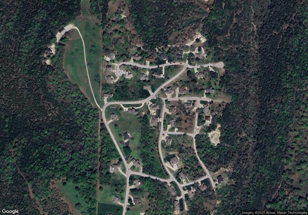
Map
Nearby Homes
- 186 Jacks Hollow Rd
- 181 White Oak Cir
- 220 Jacks Hollow Rd
- 200 Jacks Hollow Rd
- 150 White Oak
- 259 Jacks Hollow Rd
- 3990 U S 160
- 135 Kelly Crossing Ln
- 1254 Newbury
- 525 N View Dr
- 6041 Highway 65
- 680 Highpoints Ridge
- 479 Southview Dr
- 1078 Newbury Rd
- 290 Newbury Rd Unit Lot 40b
- 1173 Emory Creek Blvd
- 1191 Emory Creek Blvd
- 325 Southview Dr
- 000 Southview Dr
- 000 Wolf
- 168 Jacks Hollow Rd
- 139 Jacks Hollow Rd
- 295 Whitetail Dr
- 270 Whitetail Dr
- 310 Whitetail Dr
- 125 White Oak Cir
- 212 Rockpoint Dr
- 151 Rockpoint Dr
- 135 White Oak Circle (Reo)
- 135 White Oak Cir
- Tbd Rockpoint Dr
- Lot 44 Rockpoint Dr
- 0 Rockpoint Dr
- 187 Rockpoint Dr
- 230 Whitetail Dr
- 260 Whitetail Dr
- 261 Whitetail Dr
- 165 Stone Creek Rd
- 216 Stone Creek Rd
- L 45&56 Whitetail Crossing Lots
Your Personal Tour Guide
Ask me questions while you tour the home.