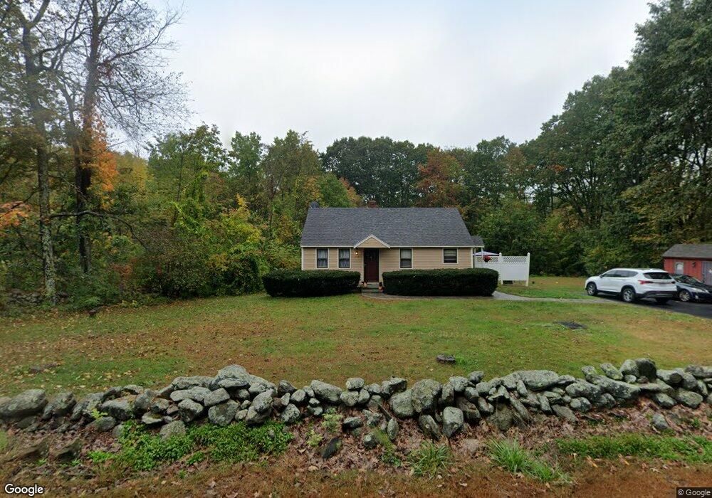
290 Worcester Rd Princeton, MA 01541
Estimated Value: $387,937 - $483,000
2
Beds
2
Baths
816
Sq Ft
$522/Sq Ft
Est. Value
About This Home
This home is located at 290 Worcester Rd, Princeton, MA 01541 and is currently estimated at $425,734, approximately $521 per square foot. 290 Worcester Rd is a home located in Worcester County with nearby schools including Wachusett Regional High School.
Ownership History
Date
Name
Owned For
Owner Type
Purchase Details
Closed on
Dec 19, 2019
Sold by
Zottoli Stephen P and Zottoli Melinda A
Bought by
Zottoli Melinda
Current Estimated Value
Home Financials for this Owner
Home Financials are based on the most recent Mortgage that was taken out on this home.
Original Mortgage
$60,000
Outstanding Balance
$41,708
Interest Rate
3.6%
Mortgage Type
New Conventional
Estimated Equity
$384,026
Purchase Details
Closed on
Jun 30, 2008
Sold by
Ernest Zottoli Ret and Zottoli
Bought by
Zottoli Melinda A and Zottoli Stephen P
Create a Home Valuation Report for This Property
The Home Valuation Report is an in-depth analysis detailing your home's value as well as a comparison with similar homes in the area
Home Values in the Area
Average Home Value in this Area
Purchase History
| Date | Buyer | Sale Price | Title Company |
|---|---|---|---|
| Zottoli Melinda | -- | None Available | |
| Zottoli Melinda A | -- | -- | |
| Zottoli Melinda A | -- | -- | |
| Zottoli Melinda A | -- | -- |
Source: Public Records
Mortgage History
| Date | Status | Borrower | Loan Amount |
|---|---|---|---|
| Open | Zottoli Melinda | $60,000 | |
| Previous Owner | Zottoli Melinda A | $135,000 |
Source: Public Records
Tax History Compared to Growth
Tax History
| Year | Tax Paid | Tax Assessment Tax Assessment Total Assessment is a certain percentage of the fair market value that is determined by local assessors to be the total taxable value of land and additions on the property. | Land | Improvement |
|---|---|---|---|---|
| 2025 | $4,528 | $311,600 | $144,400 | $167,200 |
| 2024 | $4,247 | $302,700 | $141,800 | $160,900 |
| 2023 | $4,207 | $277,900 | $113,000 | $164,900 |
| 2022 | $4,075 | $259,900 | $113,000 | $146,900 |
| 2021 | $3,603 | $223,500 | $113,000 | $110,500 |
| 2020 | $3,504 | $221,100 | $113,000 | $108,100 |
| 2019 | $3,457 | $215,800 | $110,100 | $105,700 |
| 2018 | $3,345 | $193,600 | $91,400 | $102,200 |
| 2017 | $3,414 | $192,000 | $135,900 | $56,100 |
| 2016 | $3,418 | $192,000 | $135,900 | $56,100 |
| 2015 | $3,358 | $194,100 | $138,300 | $55,800 |
Source: Public Records
Map
Nearby Homes
- 9 Stagecoach Rd
- 15 Stagecoach Rd
- 14 Oak Cir
- 751 Mason Rd
- 166 Ball Hill Rd
- 0 North St
- 147 E County Rd Unit 149
- 139 E County Rd Unit 139
- 17 Coal Kiln Rd
- Lot 1 Manning St
- 40 Jackson St
- 271 Glenwood Rd
- 20 Mountain Rd
- 81 Glenwood Place
- 28 Merriam Rd
- 60 Duxbury Dr
- 11 Mirick Rd
- 20 Town Farm Rd
- 58 Merriam Rd
- 287 Laurel St
- 282 Ball Hill Rd
- 293 Worcester Rd
- 295 Worcester Rd
- 281 Worcester Rd
- 3 Ball Hill Rd
- 1 Ball Hill Rd
- 5 Ball Hill Rd
- 277 Worcester Rd
- 2 Ball Hill Rd
- 0 Ball Hill Rd Lot 12
- 4 Ball Hill Rd
- 299 Worcester Rd
- 273 Worcester Rd
- 9 Ball Hill Rd
- 9 Ball Hill Rd Unit 1
- 274 Worcester Rd
- 10 Ball Hill Rd
- 12 Jefferson Rd
- 14 Ball Hill Rd
- 6 Jefferson Rd